
Windy Peak #342
This difficult trail travels uphill for approximately 2.5 miles with a 3,000 foot elevation gain from the Windy Peak Trailhead/Long Swamp to the Pasayten Wilderness boundary. From here the trail continues through areas of burned lodgepole pine to “Two Bear Camp” which is where water is available. The trail travels through the burned timber and open hillsides on its climb to Windy Peak where it continues on past the summit to the Boundary Trail #533 at Horseshoe Basin. The total trail length is 11.5 miles. Windy Peak has amazing panoramic views of the North Cascades and the surrounding area. On a clear day Mt. Baker is visible. Windy Lake is a side trip off trail to the north of Windy Peak. The trail is usually snowed in until July. Access to this area generally opens by June.
Specific Trail Information
Trail Number
Trail Type
General Information
Northwest Forest pass or $5 per vehicle per day. Day use fees waved with Senior Pass, Access Pass, and Military Federal Pass holders.
Wilderness use restrictions apply. Certified weed-free hay or certified weed-free hay pellets are required on National Forest lands (processed grains are okay). Motorized or mechanical equipment, including chainsaw, bike, motorcycle, hang glider or cart use prohibited in all wilderness areas. Food and wildlife attractants must be properly stored at all times.
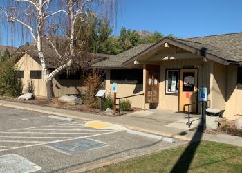
Address: 1 West Winesap Tonasket, WA 98855
Phone: (509) 486-2186
Hours: Monday-Friday, 7:30 a.m. to 4:00 p.m. (Closed on federal holidays)
Getting There
Directions
From the town of Loomis, travel north on County road #9425 for 2 miles to junction of #9425 and County road #4066. Turn West on County road #4066 which becomes Forest Service Road #39. Drive on Forest Service Road #39 for 20 miles to junction of Forest Service Road #39 and Forest Service Road #3900-300.
Latitude: 48.854885 Longitude: -119.946317
Elevation: 8,333 ft.