


Riverside Loop Composite Trail
7.4 mi - Moderate
Features: Multiple un-bridged river crossings, tree roots, and riverside views
0.0 milesStart downhill from trailhead on gated gravel road (South Mills River Trail [#133]) (white blaze)0.8 milesTurn right onto Bradley Creek Trail (#351) (orange blaze)2.5 milesTurn right onto Riverside Trail (#115) (yellow blaze). Be prepared to make several un-bridged river crossings on this section5.9 milesTurn left onto Bradley Creek Trail (#351) (orange blaze)7.4 milesReturn to parking lot
Specific Trail Information
Trail Number
General Information
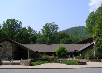
Address: 1600 Pisgah Highway Pisgah Forest , NC 28768
Phone: (828) 866-3437
Hours: Peak Season Hours (April 1-Nov. 15) -- 9 AM-5 PM daily; Off-season Hours (Nov. 16-March 31) -- 9 am-5 pm M-F (Closed on federal holidays)
Office Email: sm.fs.pisgahrd@usda.gov
Getting There
Directions
From Pisgah District Ranger Station/Visitor Center parking lot, turn left and drive approximately 1½ miles south on US 276 (out of the forest) and turn left at stop light onto NC 280. Drive approximately 5.2 miles north on NC 280 to the Henderson County line and turn left onto Turkey Pen Road which becomes FS297. Continue approximately 1½ miles to parking area at the end of the road. Caution: This gravel/dirt road can be rough and rutted. High clearance vehicles are recommended. Due to un-bridged river crossings, this ride/hike should be avoided in cold weather.

