

| imageID: | 20242 |
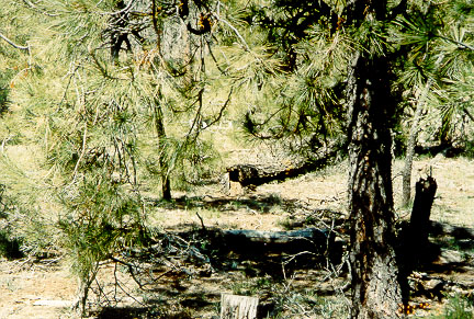
| Description: | A marked fallen snag indicates the watershed boundary of Bar M |
| Keywords: | snag watershed research watershed management |
| Organisms: | ponderosa pine |
| Photographer: | Duncan Leao |
| Media: | 4x6 print |
| Collection: | RMRS Archive Images |
| Quality: | 3 |
| Location: | Bar M, Watershed 20, Beaver Creek Experimental Watershed, Coconino NF; AZ; USA |
| Date(mm/dd/yyyy): | 05/20/2003 |
| Comments: | As time progresses more of the trees marked in the late 1950's to indicate the watershed boundaries are becoming snags. |
| Citation: | Use of this image is governed by Creative Commons CC BY. If you use the image, please include the following citation: USDA Forest Service. 2007. Forest Service Research Image Library. Fort Collins, CO: Forest Service Research Data Archive. https://www.fs.usda.gov/rds/imagedb |
Your help is appreciated. If you see an image that has any inaccuracy please send a note to the Archive team. Thank you!