

| imageID: | 20368 |
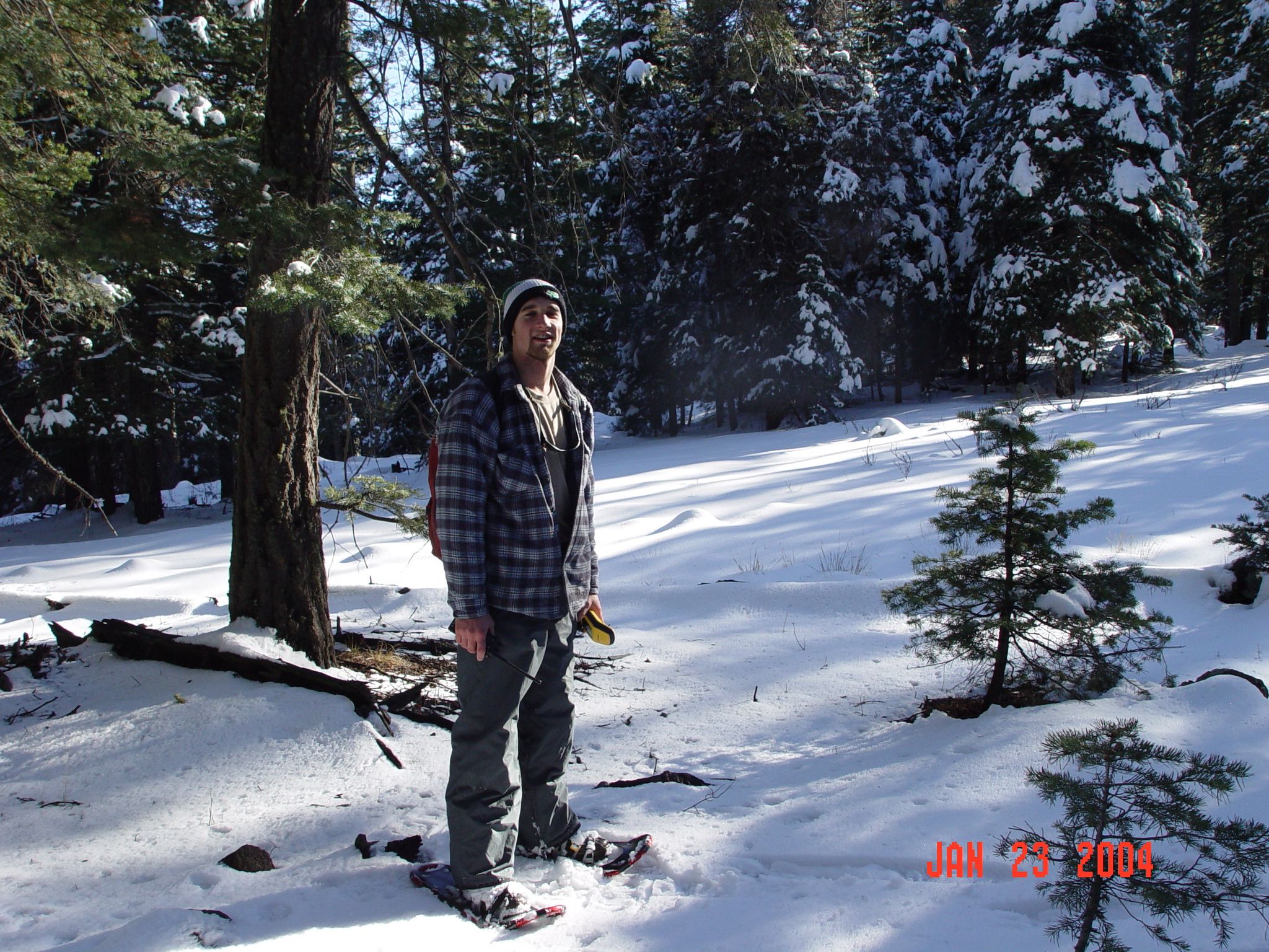
| Description: | Duncan is taking a breather in the sun, while GPSing the watershed boundaries of Thomas Creek. |
| Keywords: | snow watershed research watershed management |
| Photographer: | Victoria Henderson |
| Media: | Digital |
| Collection: | RMRS Archive Images |
| Quality: | 3 |
| People: | Duncan Leao |
| Location: | Thomas Creek Experimental Watershed, Apache-Sitgraves NF; AZ; USA |
| Date(mm/dd/yyyy): | 01/23/2004 |
| Comments: | The Watersheds boundaries of Thomas Creek and Castle Creek were GPSed in January of 2004. |
| Citation: | Use of this image is governed by Creative Commons CC BY. If you use the image, please include the following citation: USDA Forest Service. 2007. Forest Service Research Image Library. Fort Collins, CO: Forest Service Research Data Archive. https://www.fs.usda.gov/rds/imagedb |
Your help is appreciated. If you see an image that has any inaccuracy please send a note to the Archive team. Thank you!