

| imageID: | 23156 |
| Description: | Watershed Project |
| Keywords: | grassland defoliation |
| Photographer: | C. K. Cooperrider |
| Original collection id: | 235373 |
| Media: | Black & White Print |
| Collection: | Sierra Ancha Historical Images |
| Quality: | 3 |
| Location: | Tonto NF; AZ; USA |
| Date(mm/dd/yyyy): | 04/04/1928 |
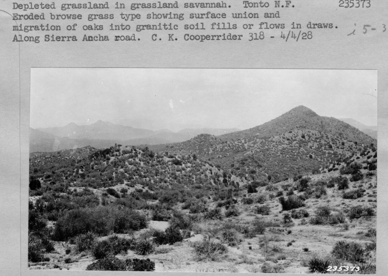
| Comments: | Depleted grassland in grassland savannah. Eroded browse grass type showing surface union and migration of oaks into granitic soil fills or flows in draws. Along Sierra Ancha road. |
| Citation: | Use of this image is governed by Creative Commons CC BY. If you use the image, please include the following citation: Olberding, Susan D.; Huebner, Daniel P.; Edminster, Carleton B. 2007. Sierra Ancha Experimental Forest historical photographs. Fort Collins, CO: U.S. Department of Agriculture, Forest Service, Rocky Mountain Research Station. https://doi.org/10.2737/RDS-2007-0006 |
Your help is appreciated. If you see an image that has any inaccuracy please send a note to the Archive team. Thank you!