

| imageID: | 23161 |
| Description: | Watershed Project |
| Keywords: | grassland defoliation |
| Photographer: | C. K. Cooperrider |
| Original collection id: | 235374 |
| Media: | Black & White Print |
| Collection: | Sierra Ancha Historical Images |
| Quality: | 3 |
| Location: | Tonto NF; a; USA |
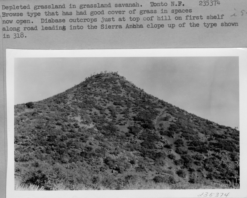
| Comments: | Depleted grassland in grassland savanah. Browse type that has had good cover of grass in spaces now open. Diabase outcrops just at top of hill on first shelf along raod leading into the Sierra Ancha slope up of the type shown in 318. |
| Citation: | Use of this image is governed by Creative Commons CC BY. If you use the image, please include the following citation: Olberding, Susan D.; Huebner, Daniel P.; Edminster, Carleton B. 2007. Sierra Ancha Experimental Forest historical photographs. Fort Collins, CO: U.S. Department of Agriculture, Forest Service, Rocky Mountain Research Station. https://doi.org/10.2737/RDS-2007-0006 |
Your help is appreciated. If you see an image that has any inaccuracy please send a note to the Archive team. Thank you!