

| imageID: | 23265 |
| Description: | Range |
| Keywords: | range |
| Photographer: | B.A. Hendricks |
| Original collection id: | 266643 |
| Media: | Black and white print |
| Collection: | Sierra Ancha Historical Images |
| Quality: | 3 |
| Date(mm/dd/yyyy): | 11/10/1931 |
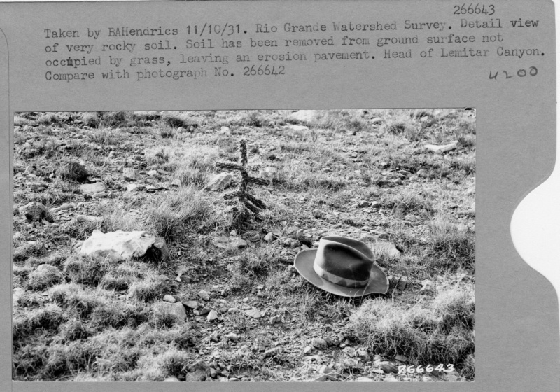
| Comments: | Rio Grande Watershed Survey. Detail view of very rocky soil. Soil has been removed from ground surface not occupied by grass, leaving an erosion pavement. Head of Limitar Canyon. Compare with photograph No.266642. |
| Citation: | Use of this image is governed by Creative Commons CC BY. If you use the image, please include the following citation: Olberding, Susan D.; Huebner, Daniel P.; Edminster, Carleton B. 2007. Sierra Ancha Experimental Forest historical photographs. Fort Collins, CO: U.S. Department of Agriculture, Forest Service, Rocky Mountain Research Station. https://doi.org/10.2737/RDS-2007-0006 |
Your help is appreciated. If you see an image that has any inaccuracy please send a note to the Archive team. Thank you!