

| imageID: | 24068 |
| Description: | Range Study |
| Keywords: | grasses fence line effect protected area overgrazed |
| Photographer: | E.C. Crafts |
| Original collection id: | 349149 |
| Media: | Black & White Print |
| Collection: | Sierra Ancha Historical Images |
| Quality: | 3 |
| Location: | Coconino NF; AZ; USA |
| Date(mm/dd/yyyy): | 06/24/1937 |
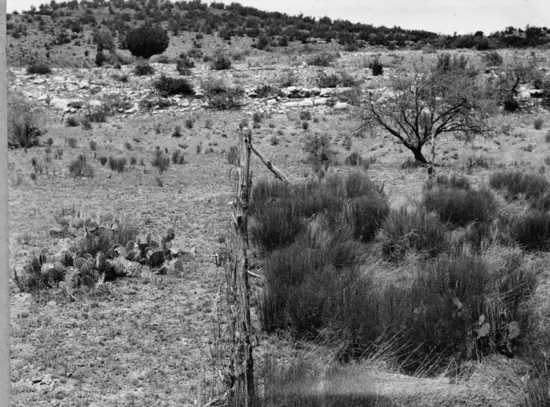
| Comments: | Beaver Creek River District. Semidesert grassland within and without Rimrock Study Plot in the Verde Valley, fenced in 1925. Tobosa, sideoats, blue grama, and species of Aristida are prominent inside. Snakeweed more common and more vigorous inside plot under total protection than outside under heavy overuse. |
| Citation: | Use of this image is governed by Creative Commons CC BY. If you use the image, please include the following citation: Olberding, Susan D.; Huebner, Daniel P.; Edminster, Carleton B. 2007. Sierra Ancha Experimental Forest historical photographs. Fort Collins, CO: U.S. Department of Agriculture, Forest Service, Rocky Mountain Research Station. https://doi.org/10.2737/RDS-2007-0006 |
Your help is appreciated. If you see an image that has any inaccuracy please send a note to the Archive team. Thank you!