

| imageID: | 31575 |
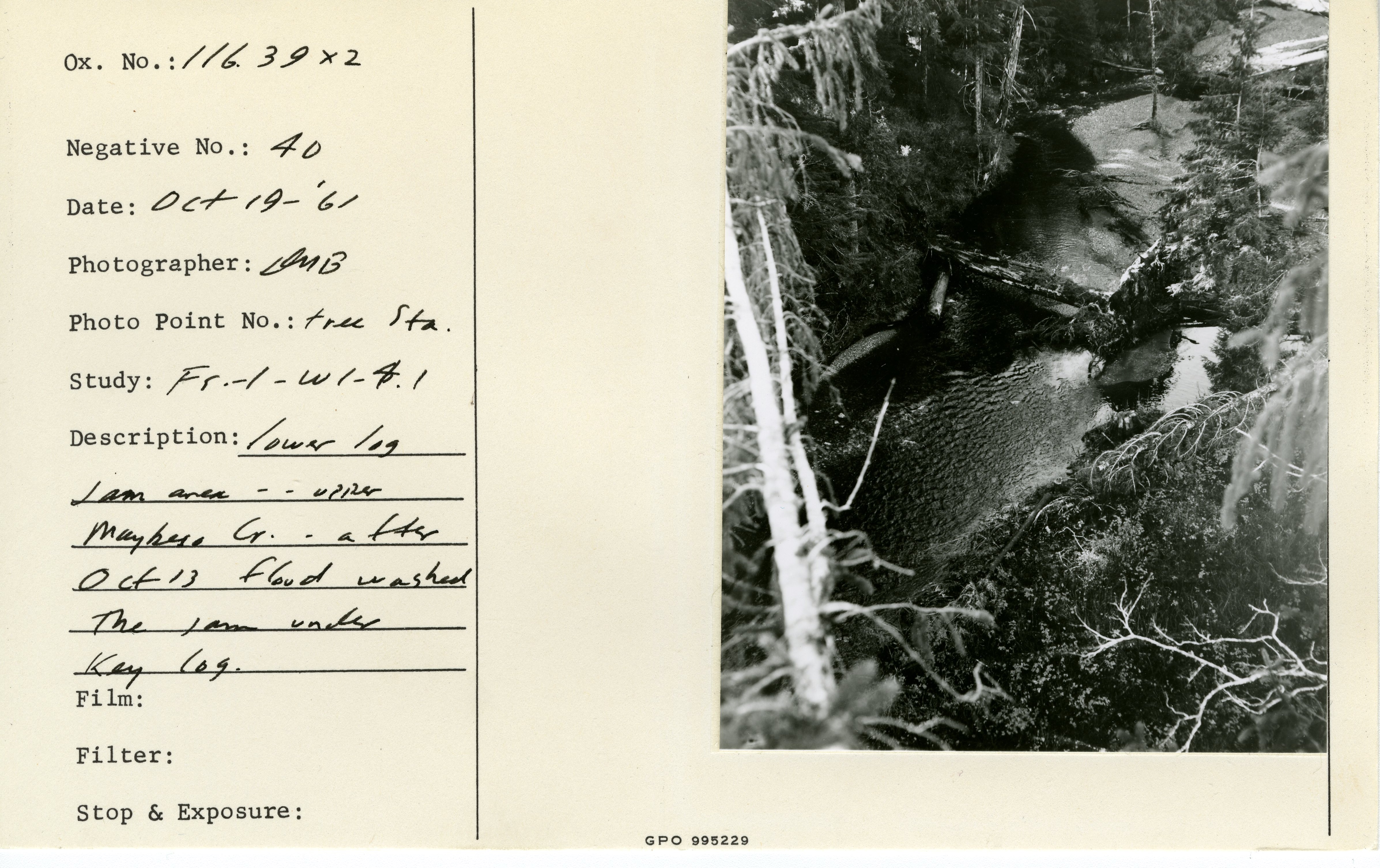
| Description: | Lower log jam area - Upper Maybeso Creek. After Oct 13 1961 flood washed the jam under key log. Photo point: Tree sta. |
| Study: | FS-1-W1-4.1 |
| Keywords: | hydrology water conservation, soil conservation and erosion watershed management studies on stream-flow and bank erosion: miscellaneous |
| Photographer: | Bishop, Daniel M. |
| Original collection id: | Oxford #: 116.39x2, negative #: 40 |
| Original as submitted: | 116_39x2_neg_40_f.jpg |
| Collection: | Pacific Northwest Research Station, Alaska Image Archive |
| Location: | Alaska; Prince of Wales Island; Maybeso Valley |
| Date(mm/dd/yyyy): | 10/19/1961 |
| Citation: | Use of this image is governed by Creative Commons CC BY. If you use the image, please include the following citation: Wright, Brenda E.; Plumb, Pauline; Wright, John; Biles, Frances E. 2021. Historical photographs from U.S. Forest Service research and development activities in Alaska. Fort Collins, CO: Forest Service Research Data Archive. https://doi.org/10.2737/RDS-2021-0084 |
Your help is appreciated. If you see an image that has any inaccuracy please send a note to the Archive team. Thank you!