| Collection: | RMRS Archive Images |
| Keywords: |
San Francisco Peaks scenic dph, miscl. |
| Location: | San Francico Peaks, Coconino N.F.; AZ; USA |
| Description: | Inner Basin of San Francisco Peaks |
| Date: | 09/21/2008 |
| Collection: | RMRS Archive Images |
| Keywords: |
scenic watershed research watershed management |
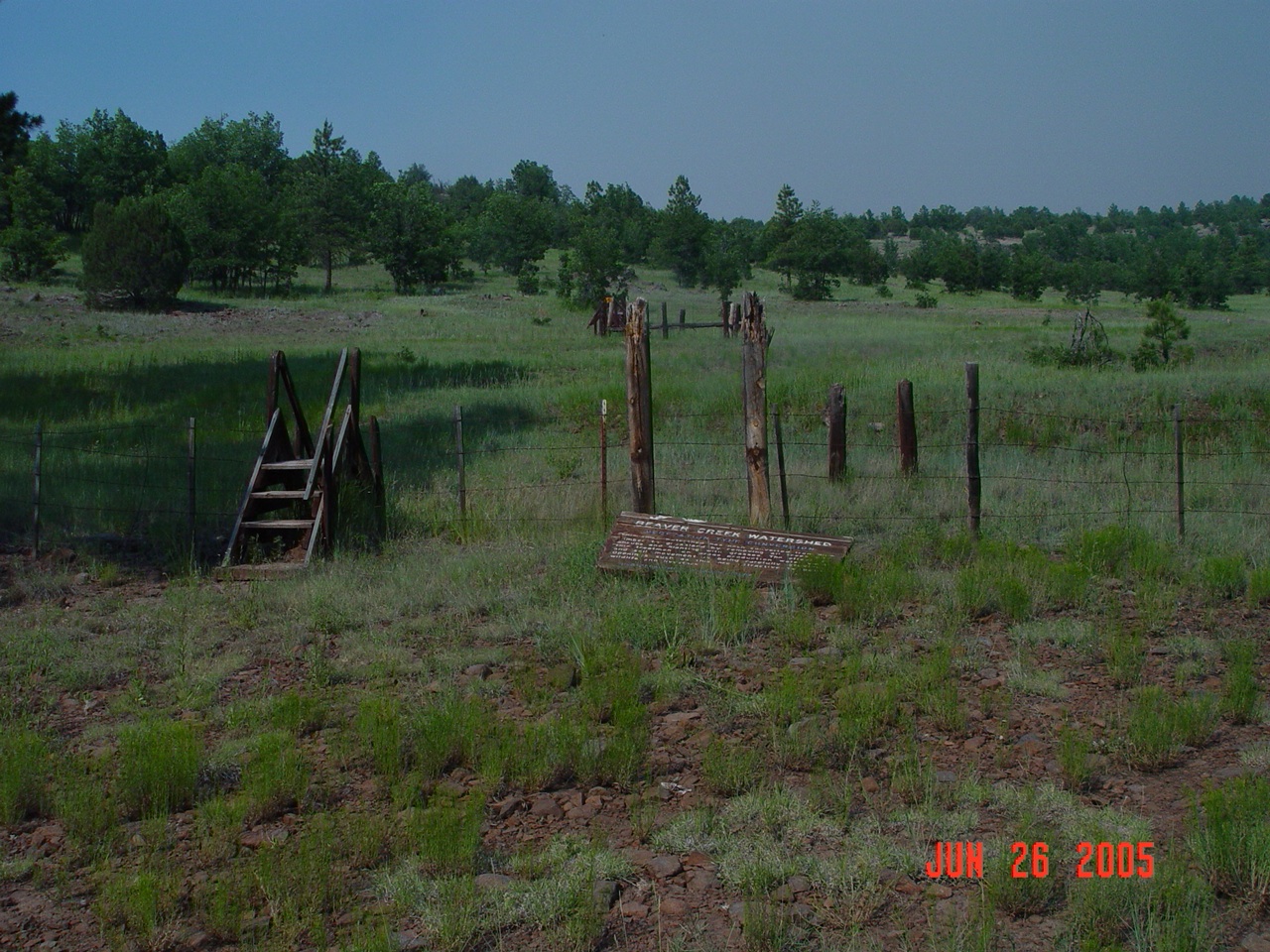
| Location: | Watershed 11, Beaver Creek Experimental Watershed; AZ; USA |
| Description: | What remains of Watershed 11, 25 years after operation ceased. |
| Date: | 06/26/2005 |
| Collection: | RMRS Archive Images |
| Keywords: |
scenic watershed structures watershed management |
| Location: | Bar M, Beaver Creek Experimental Watershed; AZ; USA |
| Description: | A view of the BarM stilling pond from the gondola. |
| Date: | 04/01/2005 |
| Collection: | RMRS Archive Images |
| Keywords: |
scenic defoliation |
| Organisms: | ponderosa pine |
| Location: | Coconino N.F.; AZ; USA |
| Description: | twilight in the pines |
| Date: | 2005 |
| Collection: | RMRS Archive Images |
| Keywords: |
snow mixed conifer scenic watershed research watershed management |
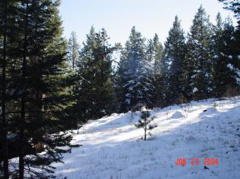
| Location: | Thomas Creek Experimental Watershed, Apache-Sitgraves NF; AZ; USA |
| Description: | The ridge bewteen North and South Forks of Thomas Creek. |
| Date: | 01/23/2004 |
| Collection: | RMRS Archive Images |
| Keywords: |
scenic watershed research watershed management |
| Location: | East Fork of Castle Creek Experimental Watershed, White Mountain Apache-Sitgraves NF; AZ; USA |
| Description: | Castle Rock as seen from the Southern Ridge of the East Fork of the Castle Creek Experimental Watershed. |
| Date: | 01/10/2004 |
| Collection: | RMRS Archive Images |
| Keywords: |
scenic watershed research watershed management |
| Location: | East Fork of Castle Creek Experimental Watershed, White Mountain Apache-Sitgraves NF; AZ; USA |
| Description: | Looking South from the Southern Ridge of the East Fork of the Castle Creek Experimental Watershed. |
| Date: | 01/10/2004 |
| Collection: | RMRS Archive Images |
| Keywords: |
stream flow scenic watershed research watershed management |
| Location: | Willow Creek Experimental Watershed, Apache-Sitgraves NF; AZ; USA |
| Description: | Willow Creek running through the snow covered meadow in the White Mountains. |
| Date: | 01/10/2004 |
| Collection: | RMRS Archive Images |
| Keywords: |
snow mixed conifer scenic watershed structures watershed research watershed management |
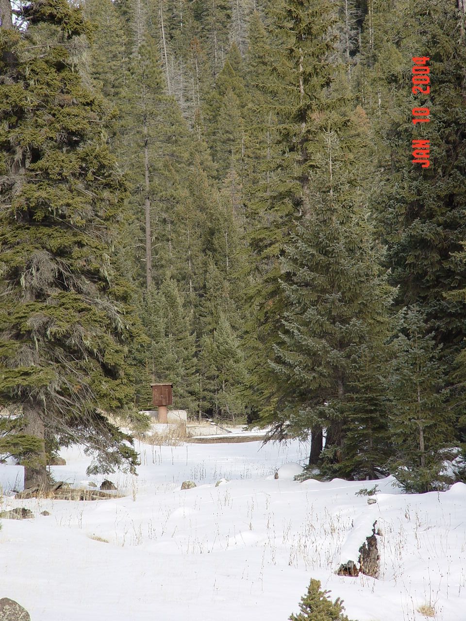
| Location: | Willow Creek Experimental Watershed, Apache-Sitgraves NF; AZ; USA |
| Description: | Willow Creek weir no. 1. |
| Date: | 01/10/2004 |
| Collection: | RMRS Archive Images |
| Keywords: |
scenic watershed research watershed management |
| Location: | West Fork of Castle Creek Experimental Watershed, White Mountain Apache-Sitgraves NF; AZ; USA |
| Description: | Steve is standing within the West Fork watershed of Castel Creek pointing toward the Thomas Creek Experimental Watersheds. |
| Date: | 01/09/2004 |
| Collection: | RMRS Archive Images |
| Keywords: |
scenic watershed research watershed management |
| Location: | West Fork of Castle Creek Experimental Watershed, White Mountain Apache-Sitgraves NF; AZ; USA |
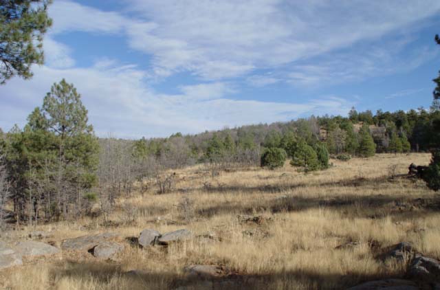
| Description: | Looking towards New Mexico within the West Fork watershed of Castel Creek. |
| Date: | 01/09/2004 |
| Collection: | RMRS Archive Images |
| Keywords: |
mixed conifer scenic snag watershed management |
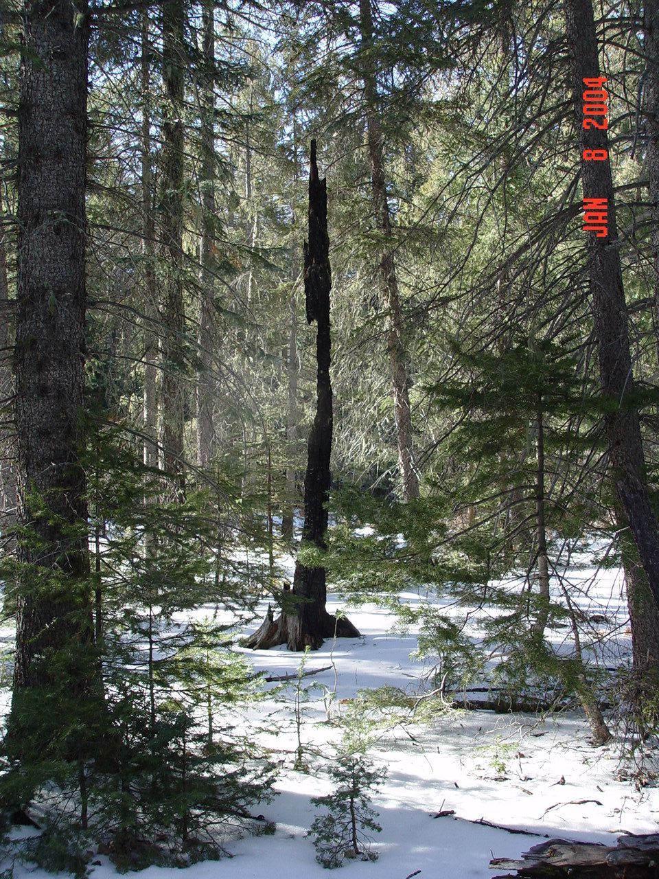
| Location: | Thomas Creek Experimental Watershed, White Mountain Apache-Sitgraves NF; AZ; USA |
| Description: | A burned snag just south of the Thomas Creek experimental watershed. |
| Date: | 01/08/2004 |
| Collection: | RMRS Archive Images |
| Keywords: |
mixed conifer scenic watershed research watershed management |
| Location: | Thomas Creek Experimental Watershed, White Mountain Apache-Sitgraves NF; AZ; USA |
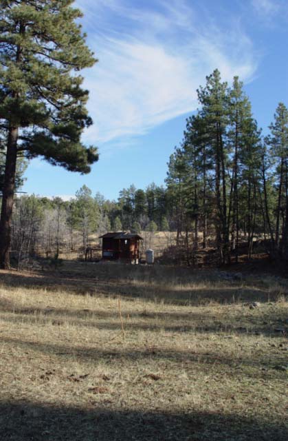
| Description: | Mixed conifer vegetation inThomas Creek North Fork watershed. |
| Date: | 01/07/2004 |
| Collection: | RMRS Archive Images |
| Keywords: |
scenic mountain dph, miscl. |
| Location: | Coconino NF; AZ; USA |
| Description: | Kendrick Peak |
| Date: | 2004 |
| Collection: | RMRS Archive Images |
| Keywords: |
scenic watershed research watershed management |
| Location: | Watershed 12, Beaver Creek Experimental Watershed; AZ; USA |
| Description: | Watershed 12, 21 years after the Beaver Creek Pilot Program ceased operation |
| Date: | 11/25/2003 |
| Collection: | RMRS Archive Images |
| Keywords: |
stream gage scenic watershed structures watershed research watershed management |
| Location: | Watershed 12, Beaver Creek Experimental Watershed; AZ; USA |
| Description: | Watershed 12 gaging station, 21 years after the Beaver Creek Pilot Program ceased operation |
| Date: | 11/25/2003 |
| Collection: | RMRS Archive Images |
| Keywords: |
scenic watershed management |
| Location: | Woods Canyon, Watershed 19, Beaver Creek Experimental Watershed, Coconino NF; AZ; USA |
| Description: | Woods Canyon Watershed in the Mist |
| Date: | 09/09/2003 |
| Collection: | RMRS Archive Images |
| Keywords: |
scenic watershed management |
| Organisms: | ponderosa pine |
| Location: | Woods Canyon, Watershed 19, Beaver Creek Experimental Watershed, Coconino NF; AZ; USA |
| Description: | Woods Canyon Watershed in the Mist |
| Date: | 09/09/2003 |
| Collection: | RMRS Archive Images |
| Keywords: |
scenic watershed research watershed management |
| Location: | Bar M, Watershed 20, Beaver Creek Experimental Watershed, Coconino NF; AZ; USA |
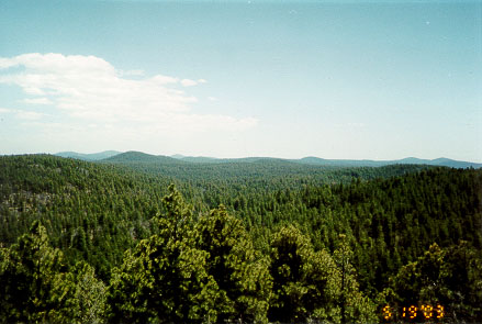
| Description: | Scenic overview of the Bar M watershed |
| Date: | 05/20/2003 |
| Collection: | RMRS Archive Images |
| Keywords: |
scenic watershed research watershed management |
| Location: | Bar M, Watershed 20, Beaver Creek Experimental Watershed, Coconino NF; AZ; USA |
| Description: | Scenic overview of the Bar M watershed |
| Date: | 05/19/2003 |


