| Collection: | RMRS Archive Images |
| Keywords: |
watershed research watershed management |
| Location: | Woods Canyon; Beaver Creek Experimental Watershed; AZ |
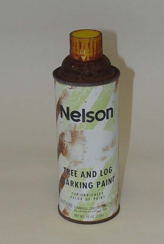
| Description: | Spray-paint can used in the late 1950's to mark the watershed boundary of Bar M and Woods Canyon |
| Date: | 11/03/2003 |
| Collection: | RMRS Archive Images |
| Keywords: |
stream gage watershed structures watershed research watershed management |
| Location: | Sub-Watershed 85, Beaver Creek Experimental Watershed, Coconino NF; AZ; USA |
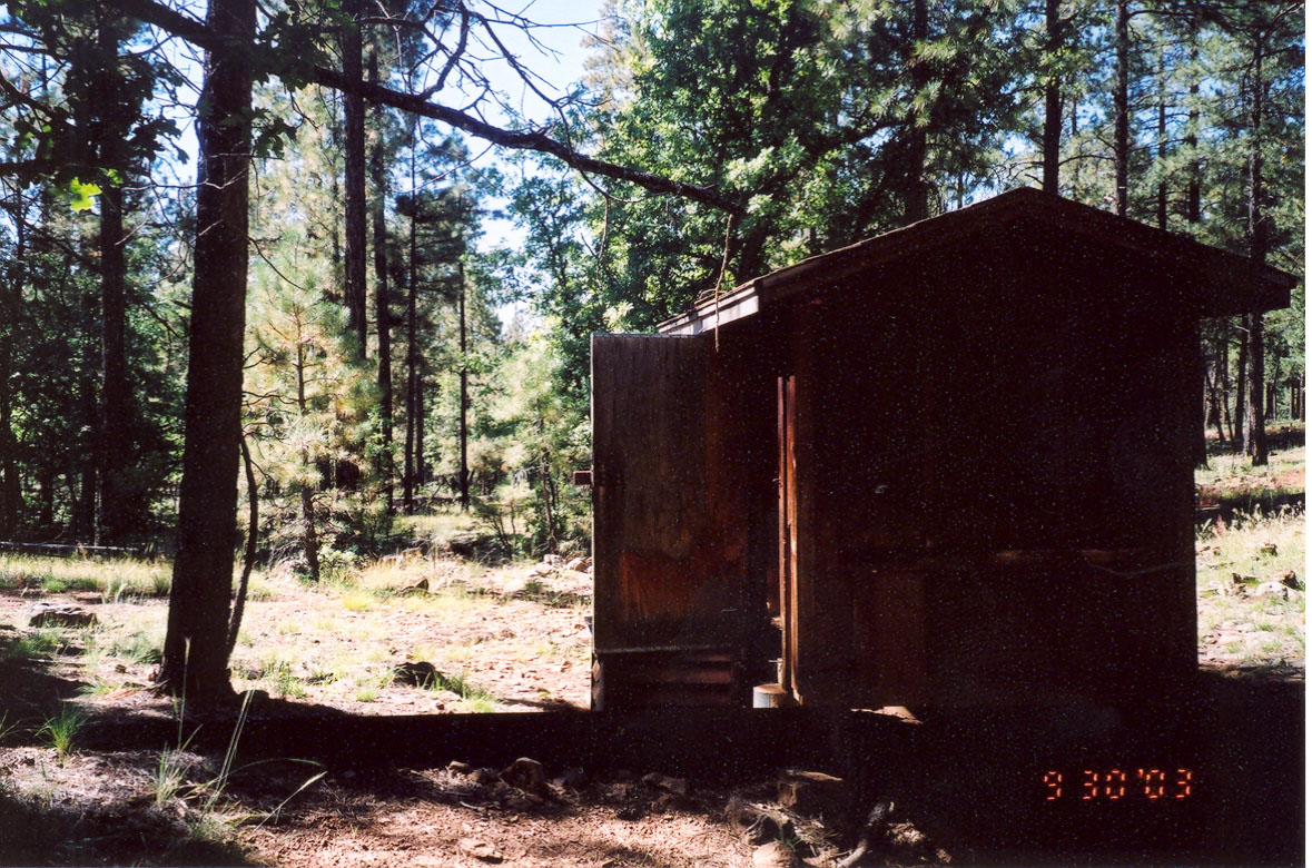
| Description: | Gauging Station of sub-watershed 85 |
| Date: | 09/30/2003 |
| Collection: | RMRS Archive Images |
| Keywords: |
stream flow watershed structures watershed research watershed management |
| Location: | Sub-Watershed 85, Beaver Creek Experimental Watershed, Coconino NF; AZ; USA |
| Description: | Gauging Station of sub-watershed 85 |
| Date: | 09/30/2003 |
| Collection: | RMRS Archive Images |
| Keywords: |
stream gage watershed structures watershed research watershed management |
| Location: | Sub-Watershed 86, Beaver Creek Experimental Watershed, Coconino NF; AZ; USA |
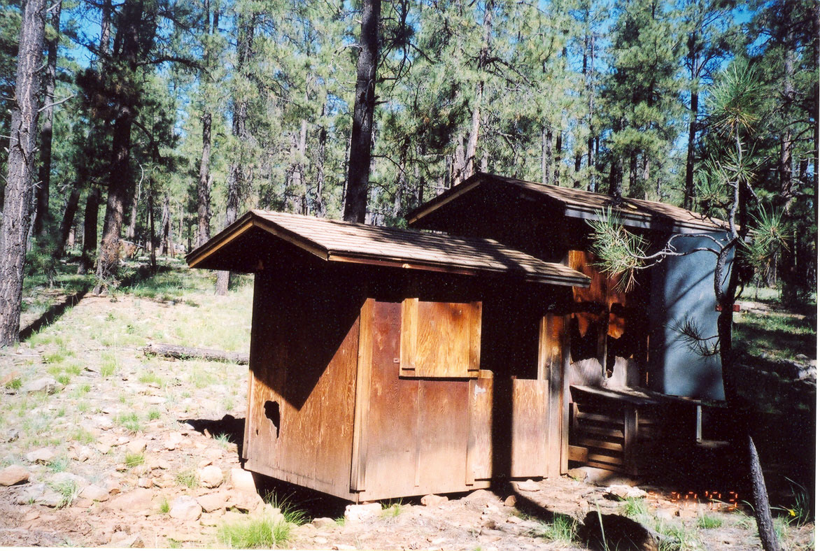
| Description: | Gauging Station of sub-watershed 86 |
| Date: | 09/30/2003 |
| Collection: | RMRS Archive Images |
| Keywords: |
stream gage watershed structures watershed research watershed management |
| Location: | Sub-Watershed 86, Beaver Creek Experimental Watershed, Coconino NF; AZ; USA |
| Description: | Gauging Station of sub-watershed 86 |
| Date: | 09/30/2003 |
| Collection: | RMRS Archive Images |
| Keywords: |
mushrooms watershed management |
| Location: | Woods Canyon, Watershed 19, Beaver Creek Experimental Watershed, Coconino NF; AZ; USA |
| Description: | A Mushroom is breaking through the leaf litter at Woods Canyon Watershed in Mid-September. |
| Date: | 09/16/2003 |
| Collection: | RMRS Archive Images |
| Keywords: |
watershed research watershed management |
| Location: | Woods Canyon, Watershed 19, Beaver Creek Experimental Watershed, Coconino NF; AZ; USA |
| Description: | GPSing the watershed boundary of Woods Canyon in the rain |
| Date: | 09/09/2003 |
| Collection: | RMRS Archive Images |
| Keywords: |
snag watershed research watershed management |
| Organisms: | ponderosa pine |
| Location: | Woods Canyon, Watershed 19, Beaver Creek Experimental Watershed, Coconino NF; AZ; USA |
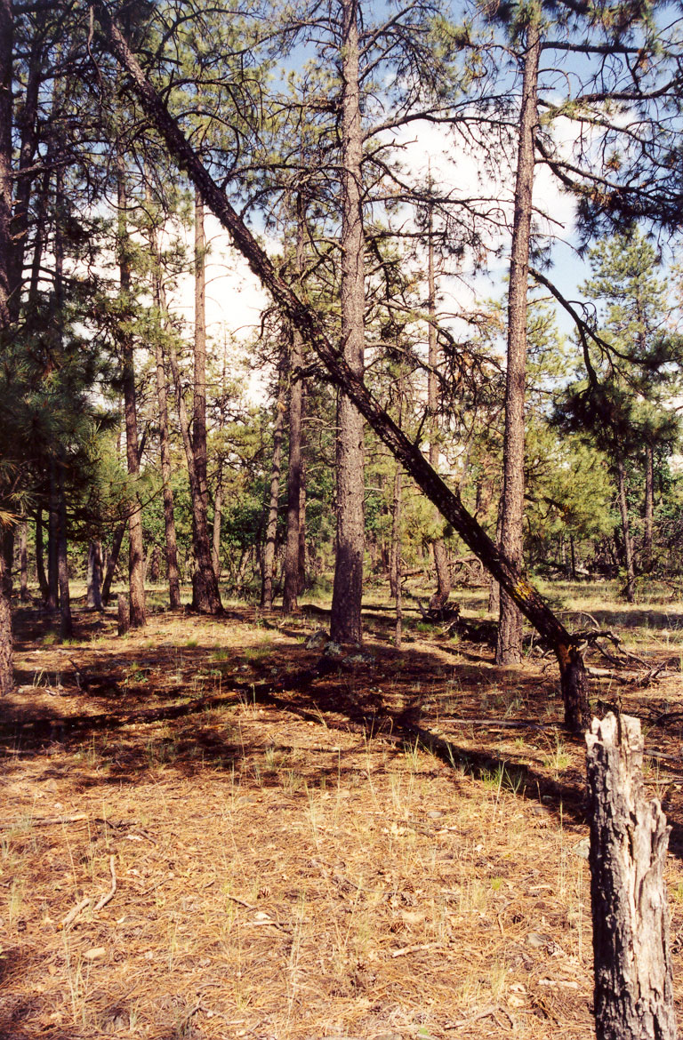
| Description: | A marked fallen snag indicates the watershed boundary of Woods Canyon |
| Date: | 09/09/2003 |
| Collection: | RMRS Archive Images |
| Keywords: |
scenic watershed management |
| Location: | Woods Canyon, Watershed 19, Beaver Creek Experimental Watershed, Coconino NF; AZ; USA |
| Description: | Woods Canyon Watershed in the Mist |
| Date: | 09/09/2003 |
| Collection: | RMRS Archive Images |
| Keywords: |
scenic watershed management |
| Organisms: | ponderosa pine |
| Location: | Woods Canyon, Watershed 19, Beaver Creek Experimental Watershed, Coconino NF; AZ; USA |
| Description: | Woods Canyon Watershed in the Mist |
| Date: | 09/09/2003 |
| Collection: | RMRS Archive Images |
| Keywords: |
mushrooms watershed management |
| Location: | Woods Canyon, Watershed 19, Beaver Creek Experimental Watershed, Coconino NF; AZ; USA |
| Description: | A Mushroom is breaking through the leaf litter at Woods Canyon Watershed in early September. |
| Date: | 09/09/2003 |
| Collection: | RMRS Archive Images |
| Keywords: | watershed management |
| Location: | Woods Canyon, Watershed 19, Beaver Creek Experimental Watershed, Coconino NF; AZ; USA |
| Description: | A Mushroom is breaking through the leaf litter at Woods Canyon Watershed in early September. |
| Date: | 09/09/2003 |
| Collection: | RMRS Archive Images |
| Keywords: |
mushrooms watershed management |
| Location: | Woods Canyon, Watershed 19, Beaver Creek Experimental Watershed, Coconino NF; AZ; USA |
| Description: | Mushrooms can reach remarkable sizes in this semi-arid watershed |
| Date: | 09/09/2003 |
| Collection: | RMRS Archive Images |
| Keywords: |
snag watershed research watershed management |
| Organisms: | ponderosa pine |
| Location: | Woods Canyon, Watershed 19, Beaver Creek Experimental Watershed, Coconino NF; AZ; USA |
| Description: | A marked snag indicates the watershed boundary of Woods Canyon |
| Date: | 09/2003 |
| Collection: | RMRS Archive Images |
| Keywords: |
watershed research watershed management |
| Organisms: | gambel oak |
| Location: | Bar M, Woods Canyon, Beaver Creek Experimental Watershed, Coconino NF; AZ; USA |
| Description: | A marked fallen oak snag indicates the watershed boundary between Bar M and Woods Canyon |
| Date: | 07/2003 |
| Collection: | RMRS Archive Images |
| Keywords: |
watershed research watershed management |
| Location: | Woods Canyon, Watershed 19, Beaver Creek Experimental Watershed, Coconino NF; AZ; USA |
| Description: | GPSing the watershed boundary of Woods Canyon. |
| Date: | 07/2003 |
| Collection: | RMRS Archive Images |
| Keywords: |
regeneration watershed management |
| Organisms: | ponderosa pine |
| Location: | Bar M, Watershed 20, Beaver Creek Experimental Watershed, Coconino NF; AZ; USA |
| Description: | Ponderosa Pine Regeneration Patch in Bar M watershed |
| Date: | 06/11/2003 |
| Collection: | RMRS Archive Images |
| Keywords: |
regeneration watershed management |
| Organisms: | ponderosa pine |
| Location: | Bar M, Watershed 20, Beaver Creek Experimental Watershed, Coconino NF; AZ; USA |
| Description: | Ponderosa Pine regeneration after heavy windthrow in the Bar M watershed |
| Date: | 06/11/2003 |
| Collection: | RMRS Archive Images |
| Keywords: |
watershed research watershed management |
| Location: | Bar M, Watershed 20, Beaver Creek Experimental Watershed, Coconino NF; AZ; USA |
| Description: | Marked rocks indicate the watershed boundary of Bar M. |
| Date: | 06/03/2003 |
| Collection: | RMRS Archive Images |
| Keywords: |
watershed research watershed management |
| Location: | Bar M, Watershed 20, Beaver Creek Experimental Watershed, Coconino NF; AZ; USA |
| Description: | This very pronounced ridge indicates one section of the watershed boundary of Bar M. |
| Date: | 06/03/2003 |


