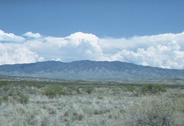
| Collection: | RMRS Archive Images |
| Keywords: |
landscape forest pathology |
| Organisms: | white pine blister rust |
| Location: | Magdalena Mountains; NM; United States |
| Description: | Magdalena Mountains, Water Canyon as seen from N |
| Date: | 08/12/1999 |
| Collection: | RMRS Archive Images |
| Keywords: |
landscape forest pathology |
| Organisms: | white pine blister rust |
| Location: | San Mateo Mountains; NM; United States |
| Description: | San Mateo Mountains as seen from N and near the VLA Observatory |
| Date: | 08/12/1999 |
| Collection: | RMRS Archive Images |
| Keywords: |
landscape forest pathology |
| Location: | Sacramento Mountians, Board Canyon; NM; United States |
| Description: | View into Board study area from Carrizozo Lookout |
| Date: | 08/12/1999 |
| Collection: | RMRS Archive Images |
| Keywords: |
landscape forest pathology |
| Organisms: | white pine blister rust |
| Location: | Sacramento Mountains, Lewis Canyon; NM; United States |
| Description: | Lewis study area as seen from north ridge |
| Date: | 08/12/1999 |
| Collection: | RMRS Archive Images |
| Keywords: |
meteorological equipment landscape forest pathology |
| Organisms: | white pine blister rust |
| Location: | Sacramento Mountains; NM; United States |
| Description: | Spud Patch Canyon. Hobo Station 6 |
| Date: | 08/24/1998 |
| Collection: | RMRS Archive Images |
| Keywords: |
landscape forest pathology |
| Organisms: | white pine blister rust |
| Location: | Sacramento Mountains; NM; United States |
| Description: | Sacramento Mountains as seen from Alamagordo |
| Date: | 08/03/1993 |
| Collection: | RMRS Archive Images |
| Keywords: |
storm landscape forest pathology |
| Organisms: | white pine blister rust |
| Location: | Sacramento Mountains; NM; United States |
| Description: | Deep fog after a summer storm |
| Date: | 08/03/1993 |
| Collection: | Sierra Ancha Historical Images |
| Keywords: |
landscape research techniques |
| Location: | Sierra Ancha Experimental Forest; AZ; USA |
| Description: | View to the West; Rips in foreground. |
| Date: | 01/12/1972 |
| Collection: | Sierra Ancha Historical Images |
| Keywords: | landscape |
| Location: | Sierra Ancha Experimental Forest; AZ; USA |
| Description: | View of non-ripped adjacent area. |
| Date: | 01/12/1972 |
| Collection: | Sierra Ancha Historical Images |
| Keywords: |
landscape research techniques |
| Location: | Sierra Ancha Experimental Forest; AZ |
| Description: | View of rips. |
| Date: | 01/12/1972 |
| Collection: | Sierra Ancha Historical Images |
| Keywords: | landscape |
| Location: | Sierra Ancha Experimental Forest; AZ |
| Description: | View of rips on SE edge of area. |
| Date: | 01/12/1972 |
| Collection: | Sierra Ancha Historical Images |
| Keywords: | landscape |
| Location: | Sierra Ancha Experimental Forest; AZ |
| Description: | View of area looking West, taken near access road. |
| Date: | 01/12/1972 |
| Collection: | Sierra Ancha Historical Images |
| Keywords: | landscape |
| Location: | Sierra Ancha Experimental Forest; AZ |
| Description: | View to east from access road. |
| Date: | 01/12/1972 |
| Collection: | Sierra Ancha Historical Images |
| Keywords: | landscape |
| Location: | Sierra Ancha Experimental Forest; AZ |
| Description: | View to East from knoll, Ripping stops at knoll. |
| Date: | 01/12/1972 |
| Collection: | Sierra Ancha Historical Images |
| Keywords: | landscape |
| Location: | Sierra Ancha Experimental Forest; AZ; USA |
| Description: | View from SW edge of area to the East. |
| Date: | 01/12/1972 |
| Collection: | Sierra Ancha Historical Images |
| Keywords: | landscape |
| Location: | Sierra Ancha Experimental Forest; AZ; USA |
| Description: | View from SW edge of area to the East. |
| Date: | 01/12/1972 |
| Collection: | Sierra Ancha Historical Images |
| Keywords: |
landscape study |
| Location: | Sierra Ancha Experimental Forest; AZ; USA |
| Description: | study area |
| Date: | 01/12/1972 |
| Collection: | Sierra Ancha Historical Images |
| Keywords: | landscape |
| Location: | Sierra Ancha Experimental Forest; AZ; USA |
| Description: | View of North Fork from South Fork |
| Date: | 01/12/1972 |
| Collection: | Sierra Ancha Historical Images |
| Keywords: | landscape |
| Location: | Sierra Ancha Experimental Forest; AZ; USA |
| Description: | View of North Fork from South Fork |
| Date: | 01/12/1972 |
| Collection: | Sierra Ancha Historical Images |
| Keywords: | landscape |
| Location: | Sierra Ancha Experimental Forest; AZ; USA |
| Description: | Prescribed burning area |
| Date: | 12/24/1969 |


