| Collection: | RMRS Archive Images |
| Keywords: |
watershed research watershed management |
| Location: | West Fork of Castle Creek Experimental Watershed, White Mountain Apache-Sitgraves NF; AZ; USA |
| Description: | Boris is standing on a hill with the West Fork watershed of Castel Creek in the background. |
| Date: | 01/09/2004 |
| Collection: | RMRS Archive Images |
| Keywords: |
wildlife watershed research signage watershed management |
| Location: | West Fork of Castle Creek Experimental Watershed, White Mountain Apache-Sitgraves NF; AZ; USA |
| Description: | Boris is standing to a sign explaining the Wolf Recovery program. |
| Date: | 01/09/2004 |
| Collection: | RMRS Archive Images |
| Keywords: |
stream gage watershed structures watershed research watershed management |
| Location: | West Fork of Castle Creek Experimental Watershed, White Mountain Apache-Sitgraves NF; AZ; USA |
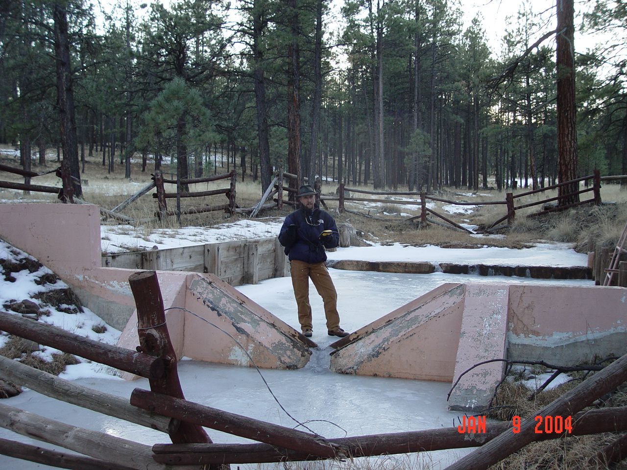
| Description: | Boris is GPSing the location of the weir of the West Fork of the Castle Creek Experimental Watershed. |
| Date: | 01/09/2004 |
| Collection: | RMRS Archive Images |
| Keywords: |
snow watershed research watershed management |
| Location: | Thomas Creek Experimental Watershed, White Mountain Apache-Sitgraves NF; AZ; USA |
| Description: | Boris is using a hand held GPS to record the watershed boundary of Thomas Creek South Fork. |
| Date: | 01/08/2004 |
| Collection: | RMRS Archive Images |
| Keywords: |
stream gage watershed structures watershed research watershed management |
| Location: | South Fork Thomas Creek Experimental Watershed, White Mountain Apache-Sitgraves NF; AZ; USA |
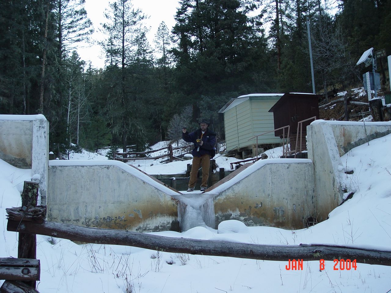
| Description: | Boris is using a hand held GPS to record the location of Thomas Creek weir no.1. |
| Date: | 01/08/2004 |
| Collection: | RMRS Archive Images |
| Keywords: |
stream gage watershed structures watershed research watershed management |
| Location: | NorthFork Thomas Creek Experimental Watershed, White Mountain Apache-Sitgraves NF; AZ; USA |
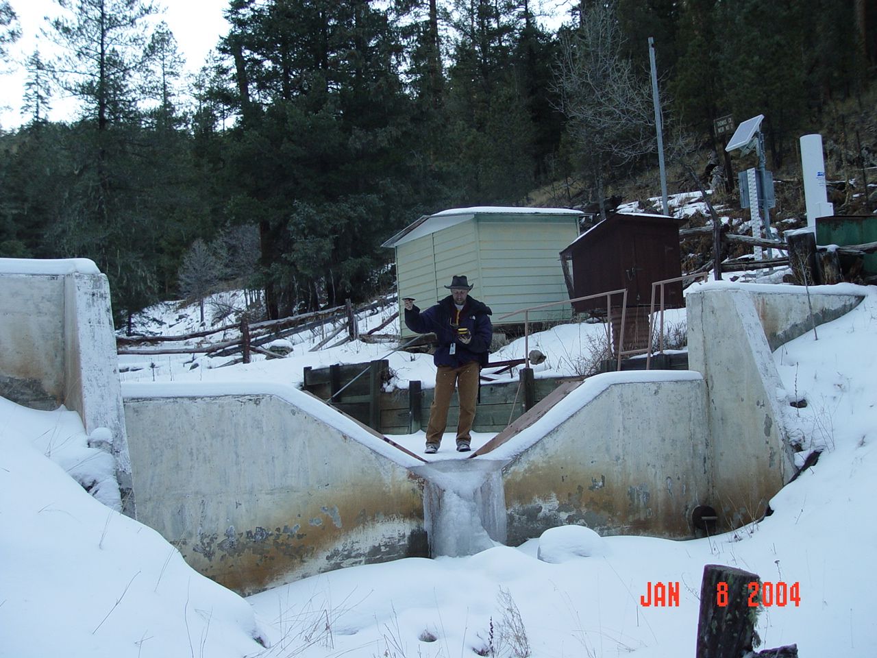
| Description: | Boris is using a hand held GPS to record the location of Thomas Creek weir no.2. |
| Date: | 01/08/2004 |
| Collection: | RMRS Archive Images |
| Keywords: |
watershed research watershed management |
| Location: | Thomas Creek Experimental Watershed, White Mountain Apache-Sitgraves NF; AZ; USA |
| Description: | Boris is using a hand held GPS to record the watershed boundary of Thomas Creek South Fork. |
| Date: | 01/07/2004 |


