| Collection: | RMRS Archive Images |
| Keywords: |
scenic watershed research watershed management |
| Location: | East Fork of Castle Creek Experimental Watershed, White Mountain Apache-Sitgraves NF; AZ; USA |
| Description: | Castle Rock as seen from the Southern Ridge of the East Fork of the Castle Creek Experimental Watershed. |
| Date: | 01/10/2004 |
| Collection: | RMRS Archive Images |
| Keywords: |
scenic watershed research watershed management |
| Location: | East Fork of Castle Creek Experimental Watershed, White Mountain Apache-Sitgraves NF; AZ; USA |
| Description: | Looking South from the Southern Ridge of the East Fork of the Castle Creek Experimental Watershed. |
| Date: | 01/10/2004 |
| Collection: | RMRS Archive Images |
| Keywords: |
wildlife watershed research signage watershed management |
| Location: | White Mountain Apache-Sitgraves NF; AZ; USA |
| Description: | The Thomas Creek and Castle Creek experimental watersheds are located within the Mexican Gray Wolf Recovery Area |
| Date: | 01/09/2004 |
| Collection: | RMRS Archive Images |
| Keywords: |
scenic watershed research watershed management |
| Location: | West Fork of Castle Creek Experimental Watershed, White Mountain Apache-Sitgraves NF; AZ; USA |
| Description: | Steve is standing within the West Fork watershed of Castel Creek pointing toward the Thomas Creek Experimental Watersheds. |
| Date: | 01/09/2004 |
| Collection: | RMRS Archive Images |
| Keywords: |
scenic watershed research watershed management |
| Location: | West Fork of Castle Creek Experimental Watershed, White Mountain Apache-Sitgraves NF; AZ; USA |
| Description: | Looking towards New Mexico within the West Fork watershed of Castel Creek. |
| Date: | 01/09/2004 |
| Collection: | RMRS Archive Images |
| Keywords: |
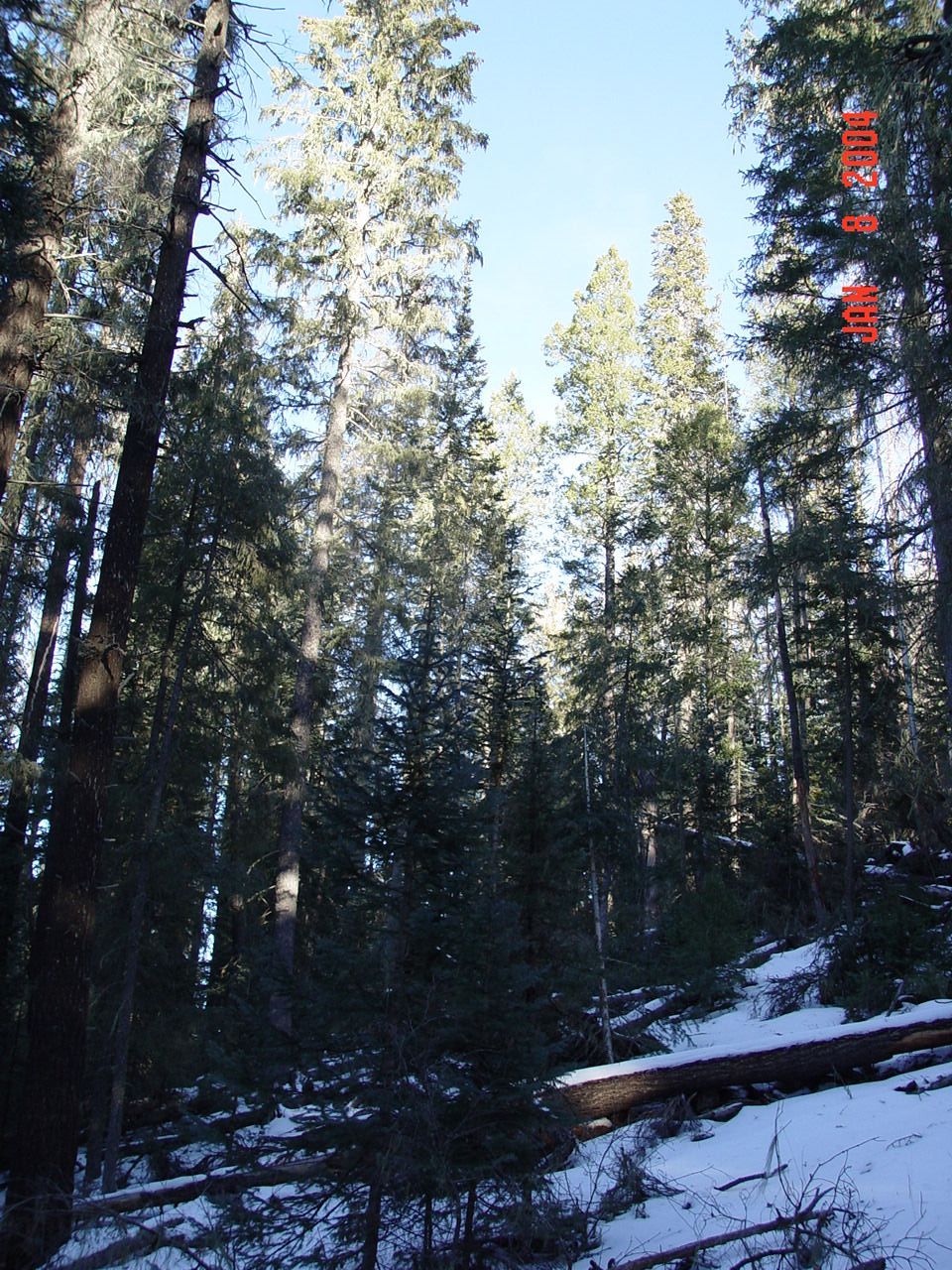
mixed conifer watershed research watershed management |
| Location: | Thomas Creek Experimental Watershed, White Mountain Apache-Sitgraves NF; AZ; USA |
| Description: | The watershed boundaries of the Thomas Creek experimental watersheds follow pronounced ridges to the North-East. |
| Date: | 01/08/2004 |
| Collection: | RMRS Archive Images |
| Keywords: |
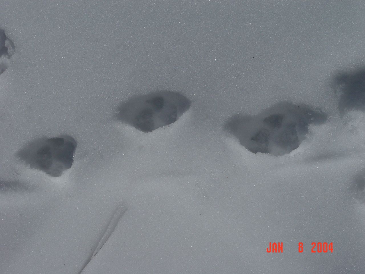
snow wildlife watershed research watershed management |
| Location: | White Mountain Apache-Sitgraves NF; AZ; USA |
| Description: | Wolf tracks in the snow can be found in the experimental watersheds within the Mexican Gray Wolf Recovery Area |
| Date: | 01/08/2004 |
| Collection: | RMRS Archive Images |
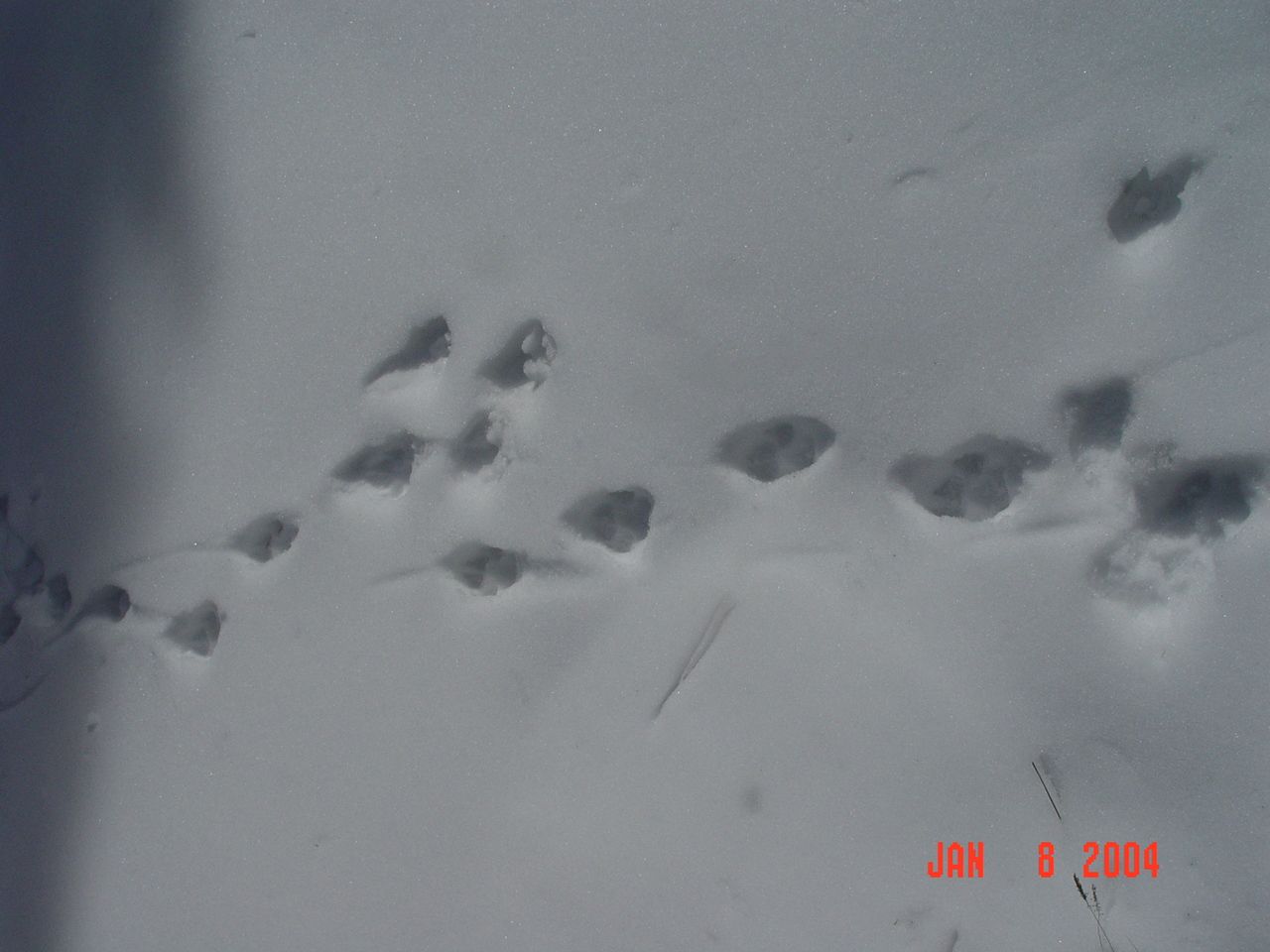
| Keywords: | watershed management |
| Location: | White Mountain Apache-Sitgraves NF; AZ; USA |
| Description: | Wolf tracks in the snow can be found in the experimental watersheds within the Mexican Gray Wolf Recovery Area |
| Date: | 01/08/2004 |
| Collection: | RMRS Archive Images |
| Keywords: |
snow wildlife watershed research watershed management |
| Location: | White Mountain Apache-Sitgraves NF; AZ; USA |
| Description: | Wolf tracks in the snow can be found in the experimental watersheds within the Mexican Gray Wolf Recovery Area |
| Date: | 01/08/2004 |
| Collection: | RMRS Archive Images |
| Keywords: |
snow mixed conifer watershed research watershed management |
| Location: | Thomas Creek Experimental Watershed, White Mountain Apache-Sitgraves NF; AZ; USA |
| Description: | The watershed boundaries of the Thomas Creek experimental watersheds are marked with white paint. |
| Date: | 01/08/2004 |
| Collection: | RMRS Archive Images |
| Keywords: |
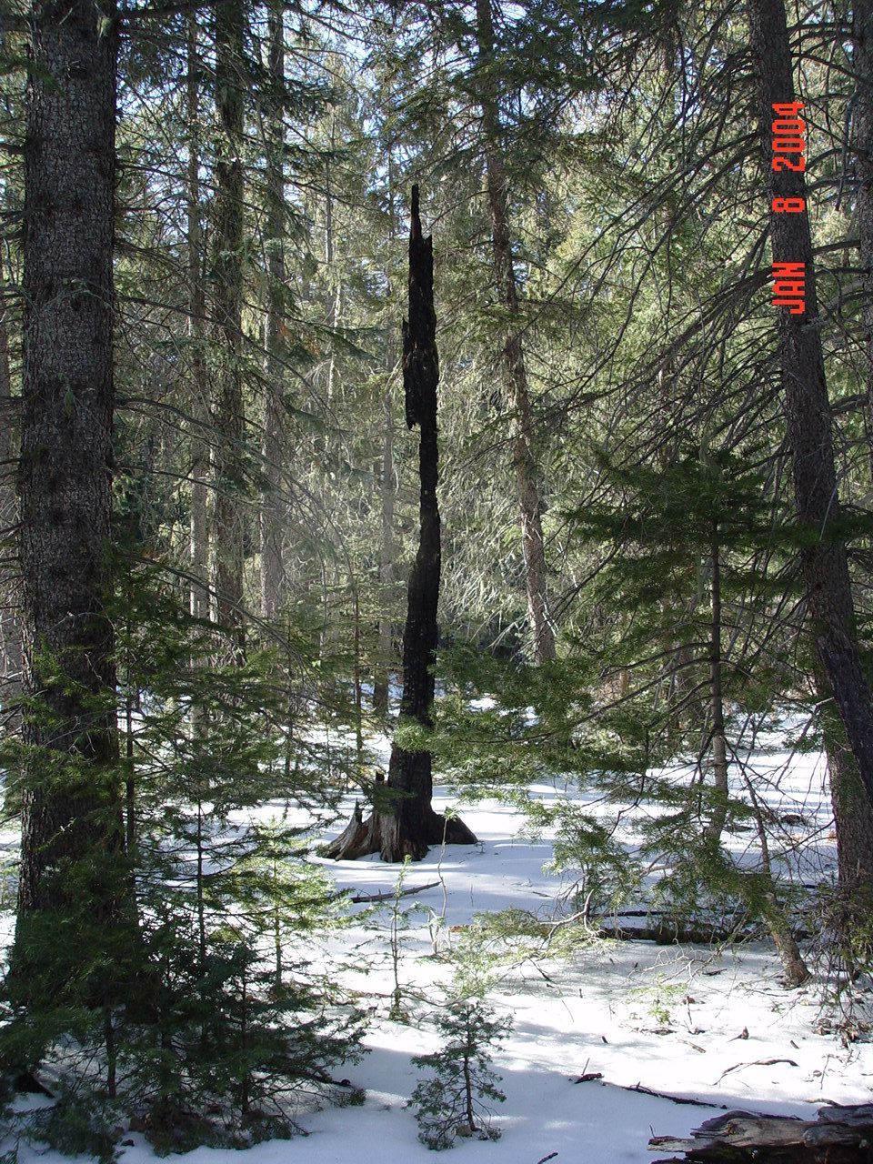
mixed conifer scenic snag watershed management |
| Location: | Thomas Creek Experimental Watershed, White Mountain Apache-Sitgraves NF; AZ; USA |
| Description: | A burned snag just south of the Thomas Creek experimental watershed. |
| Date: | 01/08/2004 |
| Collection: | RMRS Archive Images |
| Keywords: |
snow mixed conifer snag watershed research watershed management |
| Location: | Thomas Creek Experimental Watershed, White Mountain Apache-Sitgraves NF; AZ; USA |
| Description: | Steep slopes and downed logs make up the majority of the Thomas Creek South Fork watershed. |
| Date: | 01/08/2004 |
| Collection: | RMRS Archive Images |
| Keywords: |
stream gage watershed structures watershed research watershed management |
| Location: | Thomas Creek Experimental Watershed, White Mountain Apache-Sitgraves NF; AZ; USA |
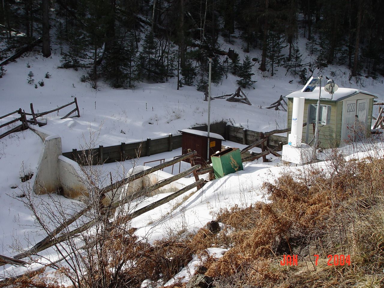
| Description: | Gauging Station of Thomas Creek North Fork |
| Date: | 01/07/2004 |
| Collection: | RMRS Archive Images |
| Keywords: |
watershed structures watershed research watershed management |
| Location: | Thomas Creek Experimental Watershed, White Mountain Apache-Sitgraves NF; AZ; USA |
| Description: | Gauging Station of Thomas Creek North Fork |
| Date: | 01/07/2004 |
| Collection: | RMRS Archive Images |
| Keywords: |
snow wildlife watershed management |
| Location: | Thomas Creek Experimental Watershed, White Mountain Apache-Sitgraves NF; AZ; USA |
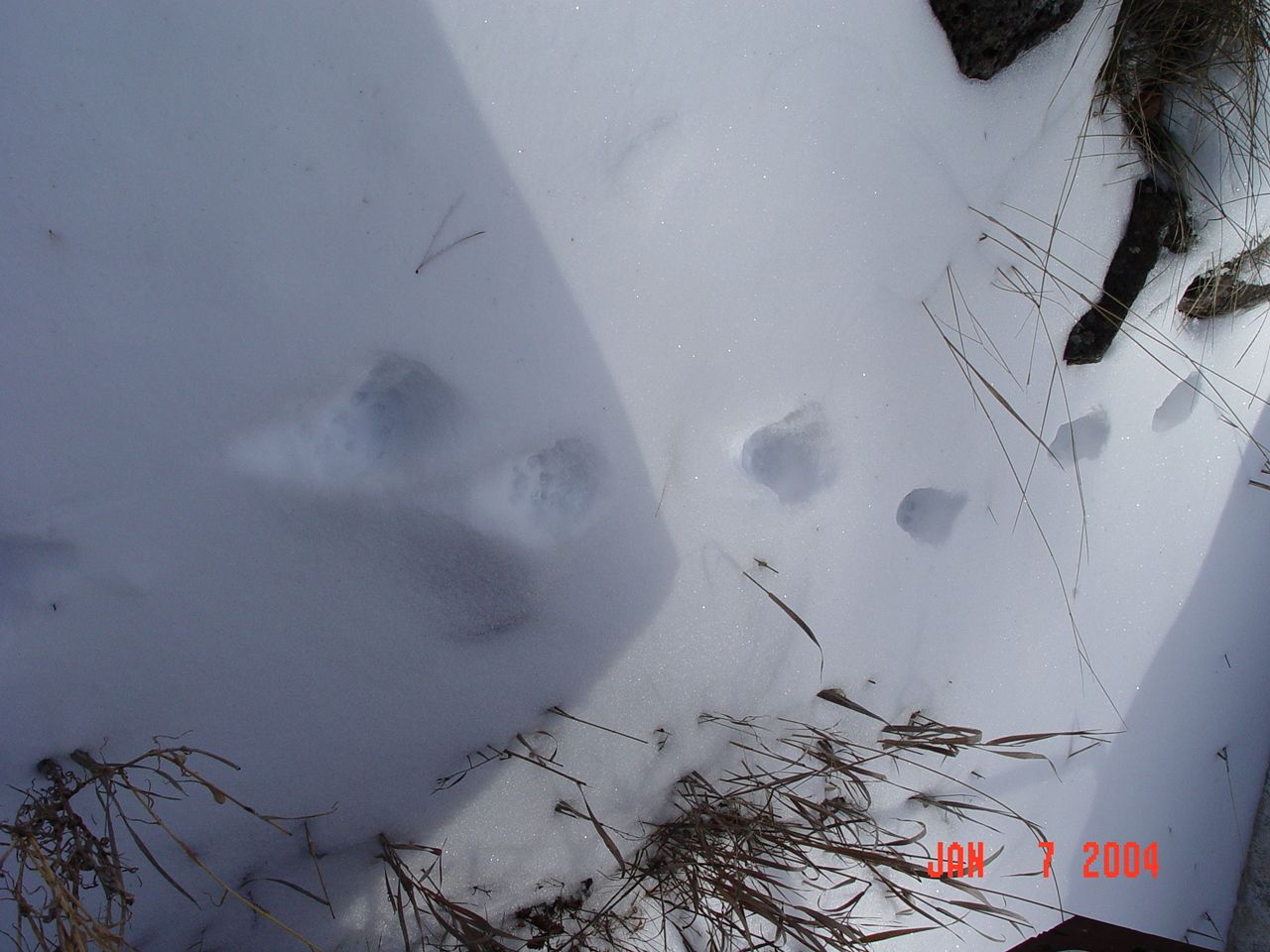
| Description: | Wildlife tracks in the snow close to the Thomas Creek weir no. 2. |
| Date: | 01/07/2004 |
| Collection: | RMRS Archive Images |
| Keywords: |
wildlife watershed research watershed management |
| Location: | White Mountain Apache-Sitgraves NF; AZ; USA |
| Description: | Wolf tracks in the snow can be found in the experimental watersheds within the Mexican Gray Wolf Recovery Area |
| Date: | 01/07/2004 |
| Collection: | RMRS Archive Images |
| Keywords: |
watershed research watershed management |
| Location: | Thomas Creek Experimental Watershed, White Mountain Apache-Sitgraves NF; AZ; USA |
| Description: | Steve is using a 5 ft topographical map to determine the watershed boundary |
| Date: | 01/07/2004 |


