
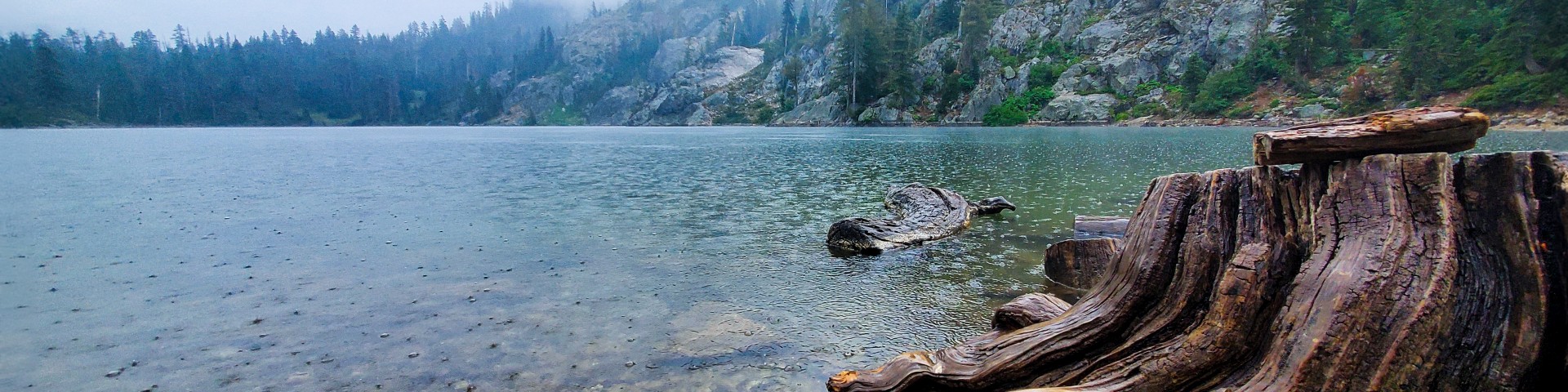
Adventure awaits on the Klamath National Forest
The forest includes the Klamath National Wild & Scenic River and several wilderness, botanical, and geologic areas. The forest is a haven for campers, hikers, wildlife watchers, hunters, fishermen, mountain bikers, white water enthusiasts, geologists, botanists, and naturalists.
Campgrounds and Trailheads
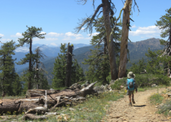
With nearly one million acres for your enjoyment, relaxation, and exploration, you can experience the solitude of the wilderness or enjoy camping near others in developed campgrounds.
Firewood Cutting
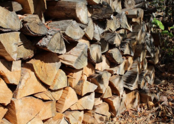
Cutting firewood for personal use is a popular pastime for many people who live near the Klamath National Forest. Make sure you have a permit and "Know Before You Go." Firewood cutting restriction information can be obtained by phoning 530-841-4588 at any time.
Know Before You Go!
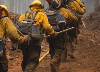
The Klamath National Forest posts closures, alerts, and critical fire information for your safety.
Butte Valley National Grassland
Butte Valley National Grassland
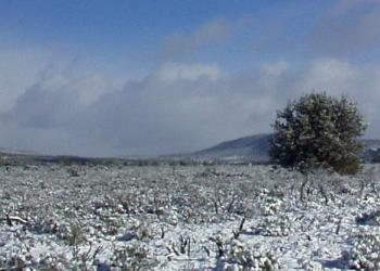
Butte Valley National Grassland occurs in a scenic basin within the southern Cascade Range, located in northern California. The National Grassland is 18,425 acres in size and is the only national grassland in California.
