

Visitor Maps and Guides
Forest and Grassland Visitor & Wilderness Maps

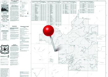
Visitor maps for each national forest and grassland provide information on attractions, facilities, services, and recreation opportunities. These maps are available to purchase from individual forest offices and many retail outlets. Use the interactive Map Finder application to discover our visitor and wilderness maps.
Buy online: USGS Map Store (Hardcopy maps) | Avenza Maps for Mobile (Digital maps)
Nationwide Forest Service Visitor Maps

Forest Visitor Maps, Forest Atlases and Wilderness Maps can be purchased using our interactive "Map Finder" application or by searching the USGS Map Store.
Travel Management Maps
Motor Vehicle Use Maps (MVUM) and Over Snow Vehicle Use Maps (OSVUM) are available for free from National Forest and Grassland offices. These maps provide information on what kinds of travel are allowed on individual trails and roads and are vital to have when heading out to recreate! Many of these maps are available free for mobile devices on the Avenza Maps app.
Forest Service Digital Maps

Forest Service Digital Maps cover all lands administered by the Forest Service. They are available in a variety of scales. Maps are free as a digital download.
Download Off-line Maps [ArcGIS Online interactive tool]
Get the Avenza Maps App for Mobile

Many of our maps are available for a cost or free on the Avenza Map Store. With the app you can use the satellite capabilities of your mobile device and navigate on a compatible map even without cell service.
- iOS App at the Apple App Store
- Android App at the Google Play store