Recreation Opportunities
The vast majority of the forest’s trails are part of designated wilderness areas where cycling is prohibited. Nonetheless, there are many…
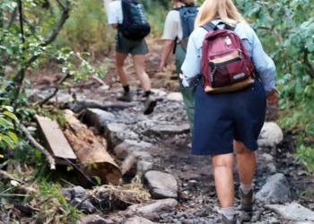
Beautiful pine forests and mountains surround this lake making it an excellent place for day hikes. Nearby you will find the Way of the Mono…
The Sierra National Forest provides excellent opportunities for the equestrian trail rider. There are numerous opportunities for people who own their…
Hunting and Target Shooting are popular activities on the Sierra National Forest and in adjacent areas. Before hunting of any type on the Forest, you…
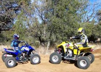
Off-Highway Vehicle (OHV) users will find many opportunities for off-highway enjoyment in the Sierra National Forest.Become familiar with State OHV…
Outdoor learning can mean any number of things. Simplified, it can be put in terms of experimenting, connecting, discovering and learning about and…
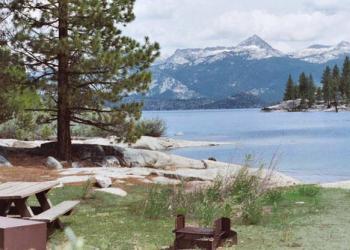
There are 10 picnic areas located around Bass Lake for those who choose to visit for the day. Many picnic areas are handicap accessible.
The Sierra National Forest has two Scenic Byways on the Forest, the Sierra Heritage Scenic Byway and the Sierra Vista Scenic Byway.
The Sierra National Forest boasts some of the most coveted water recreation areas in the state of California, featuring boating, swimming and sailing…
Winter is a beautiful time to explore the Sierra National Forest.There are many forms of winter recreation, including:Cross-Country…


