
Welcome to the Midewin National Tallgrass Prairie
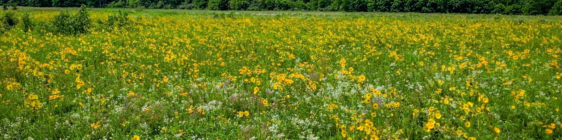
The Midewin National Tallgrass Prairie is the largest island in the archipelago of protected areas that collectively comprise the Chicago Wilderness. It includes full array of species and natural processes typical of tallgrass prairies in the region, including the reintroduction of bison.
Turning back the clock from a landscape dominated by rusting munitions factories and abandoned ammunitions bunkers into a 20,283-acre pristine tallgrass prairie makes the Midewin a compelling vision for landscape scale restoration.
Orders of the Forest Supervisor
As a visitor to the National Forest, you are asked to follow certain rules designed to protect the Forest and provide public safety for visitors.
Recreation Opportunities
Not sure what a dolomite prairie is? We've got you covered. Get started by visiting the displays at the Welcome Center and find out more about…
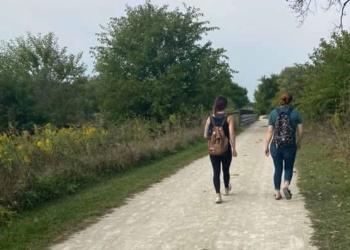
Today, about half of the 18,225 acres of Midewin are open to the public, including over 34 miles of trails. About 22 miles of trail are for shared…

Midewin National Tallgrass Prairie offers approximately 22 miles of multi-use trails. These trails are open to bicycling, hiking, and horseback…
Safety and Ethics

Maps and Guides

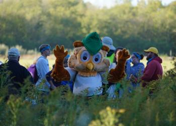
Volunteer With Us

Self-Guided Tours

The Bison Project

About the Area


