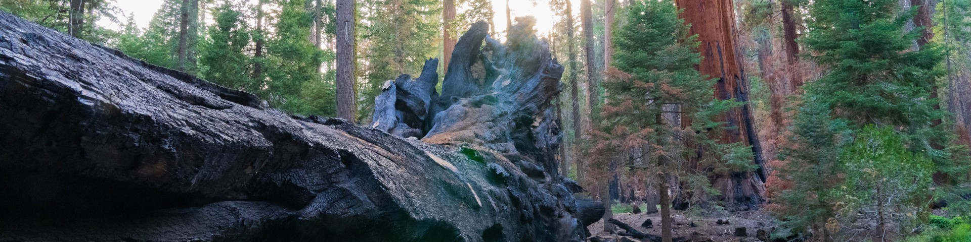
Giant Sequoia National Monument Grove Location Maps
Giant Sequoia Groves North Portion
- Abbott Creek*
- Agnew
- Bearskin
- Big Stump
- Cherry Gap
- Converse Basin
- Deer Meadow
- Evans Complex
- Boulder Creek
- Evans
- Kennedy
- Little Boulder
- Lockwood
- General Grant
- Indian Basin
- Landslide
- Monarch
- Redwood Mountain
*Abbott Creek Grove is not shown on the 2001 Sequoia National Forest Recreation Map.
Giant Sequoia Groves South Portion
- Alder Creek
- Belknap Complex
- Black Mountain
- Burro Creek
- Cunningham
- Deer Creek
- Dillonwood
- Freeman Creek
- Long Meadow
- Maggie Mountain
- Middle Tule
- Mountain Home
- Packsaddle
- Peyrone
- Red Hill
- Silver Creek
- South Peyrone
- Starvation Complex
- Starvation Creek
- Upper Tule
- Wishon
The Giant Sequoia grove map provides a link to a large scale map of the grove area. On each grove page there is a link to the 1:24,000 scale map (quad sheet) of the area around the grove. By using the grove map, the quad sheet map and the forest recreation map you will be able to navigate to each grove. The forest recreation map is available for sale from any Sequoia National Forest office.
For additional information visit the "Giant Sequoia National Monument" e-newletter for places to visit and "Rock and Roll" in the Monument. www.fs.fed.us/r5/sequoia/gsnm.html.