|
Bob Simonson, Program Leader |
|
San Dimas Technology
& Development Center
444 E Bonita Ave
San Dimas, CA 91773
(909) 599-1267
REY FARVE, Project Leader
|
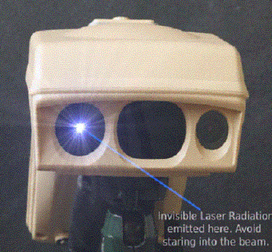
Summary The ike is a rugged, hand-held tool that integrates a digital camera, digital compass, laser rangefinder, GPS receiver, and pocket computer into one field unit. Forest Service beta testers found the ike to be a very powerful and useful tool for Inventory & Monitoring purposes, especially for extensive Inventorying and/or Monitoring. We encourage any user seeking a fool-proof solution for keeping track of numerous I&M photos and their associated geospatial data to consider this device. The ike is unique in its ability to use its range finder to take GPS reading of several nearby objects (within 1000 km) while standing in a single spot. The Software Development Kit further simplifies data capture by allowing users to create specialized forms. The only shortcoming expressed by beta testers appeared to be the limited camera resolution (1.3 Mega Pixels) of an earlier model (new models have 3.2 MPs) and a few instances of difficulty in obtaining GPS satellites. (Obviously taking a back-up digital camera with higher mega pixel resolution and/or a back-up GPS receiver could eliminate these concerns for most users.) As with any new, cutting-edge technology, the novice to geospatial technology should expect to invest time in mastering the ike to realize its maximum capabilities. Resource specialist that are interested in this innovative technology are encouraged to contact us (SDTDC) or any of the beta testers identified in this report.
|
||||||||||||||||||||||