

Visitor Maps and Guides
The Olympic National Forest spans nearly 633,000 acres, with four offices, five wilderness areas, countless lakes, rivers, mountains, and trails for you to discover. Carrying a map is an absolute must!
Get ready for your visit by checking out our detailed maps, brochures, and information guides. Visitor maps are available in-person at forest offices and online at the US Geological Survey Map Store.
Forest Visitor Maps

Paper maps are available for purchase in person at one of the forest's offices and online through the US Geological Survey Map Store. Search for the Olympic National Forest visitor map using the online Map Finder.
Mobile-Friendly Maps

Download maps to your mobile device via the Avenza Maps app. Maps available for Olympic National Forest include Motor Vehicle Use Maps are available at no cost and District maps for a fee.
Motor Vehicle Use Maps (MVUM)
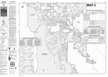
Motor Vehicle Use Maps, often called "MVUMs," show national forest system roads and motorized trails. The map is a black and white map with no topographic features. For additional reference it is best used in conjunction with a Forest Visitor Map or other detailed map. Motor Vehicle Use Maps are free and available at Forest Service offices or online at the Avenza Map Store.
National Interactive Visitor Map

View the online National Interactive Visitor Map to explore recreation sites on Forest Service lands across the country!
Free Topo Maps

These free downloadable geo-enabled quadrangle maps are created by the Forest Service. FSTopo is an automated map product using inter-agency authoritative data and is updated annually.
Forest Recreation Opportunity Guide
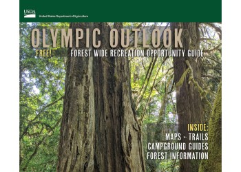
Inside the Olympic Outlook you will find information about available recreation opportunities on the Olympic National Forest like campgrounds, trails and Wilderness areas.
Firewood Maps

Firewood maps are free, downloadable, and show which areas of the forest are open to harvest. Make sure to follow harvest regulations and carry you're free firewood permit.