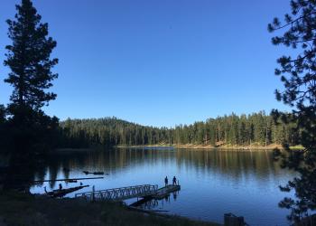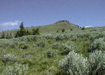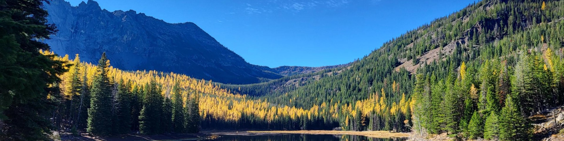
Welcome to Malheur National Forest
The 1.7 million acre Malheur National Forest is located in the Blue Mountains of eastern Oregon with 88,350 acres of wilderness. The Forest is home to high desert grasslands, sage, juniper, pine, fir, and hidden alpine lakes and meadows. Elevations vary from 4,000 feet to the 9,038 foot Strawberry Mountain. The Strawberry Mountain range extends east to west through the center of the forest. The Forest is the headwaters for the John Day River System, the only tributary to the Columbia River System that has no dams. It also provides two Wild and Scenic stretches of the Malheur River System and the Silvies River.
Get a Permit

The Malheur National Forest requires permits for forest products of varying kinds as well as things like commercial photography or outfitting and guide services.
Cabin Rentals
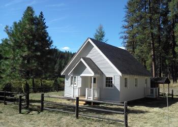
The Malheur National Forest has 4 former guard stations and one lookout available for public rental.
You can reserve a guard station or the lookout by visiting Recreation.gov or calling 1-877-444-6777.
Find Your Path
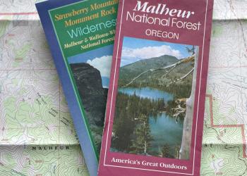
There are many different maps and online mapping tools offering information. Consider what you would like to do to base what type of map or application you might need.
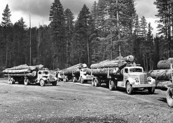
Timber Sales
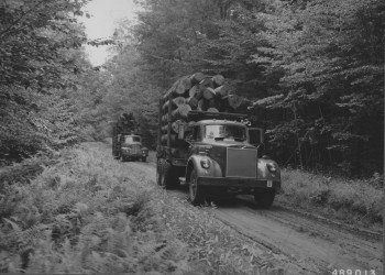
All upcoming Malheur National Forest Timber Sales as well as hauling routes for current timber sales. All other pertinent timber sale related information.
Recreation Fee Proposal

The Malheur National Forest is inviting the public to provide comments on proposed fee changes on developed recreation sites across the forest.