
Welcome to Columbia River Gorge National Scenic Area
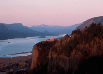
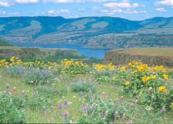
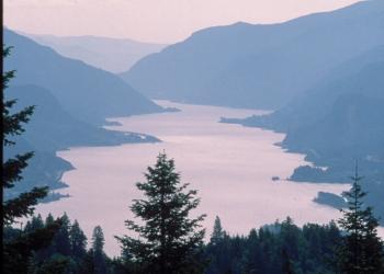
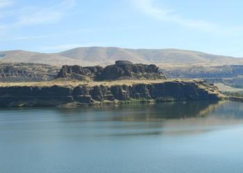
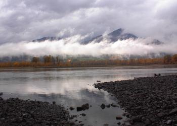
The Columbia River Gorge is so much more than just a natural wonder - it is a critical transportation corridor and vibrant community of more than 75,000 people living in fertile countryside and 13 urban areas spanning two states and six counties. The Columbia River itself is the Gorge's centerpiece, a lifeline of water and the only sea level route through the Cascade Mountain Range. The Cascades' geology creates a rain shadow effect, causing a dramatic precipitation difference that distinguishes the lush conifer forests in the West end of the Gorge from the grasslands of the Gorge's East end.
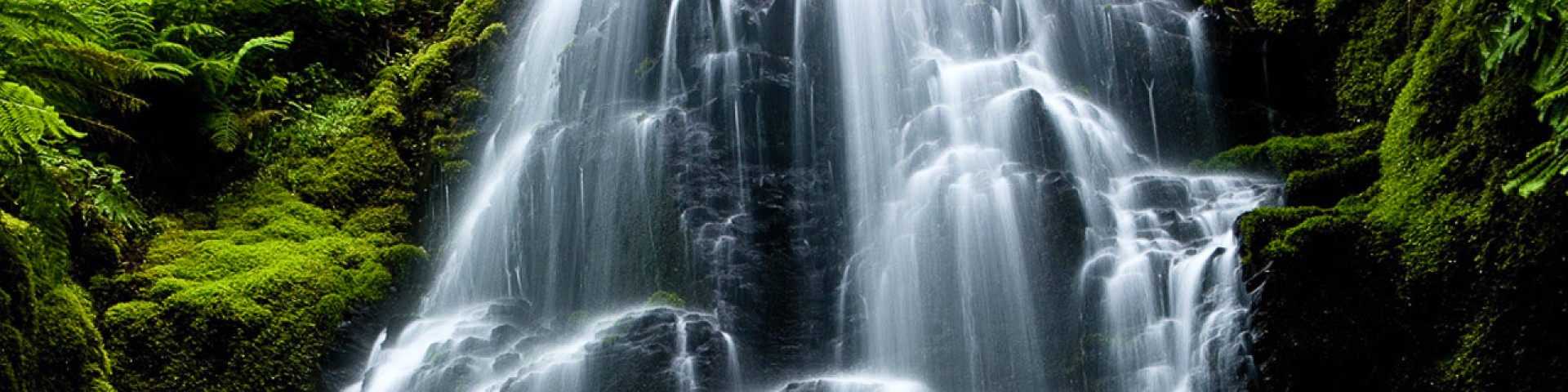
The Beauty of the Scenic Area
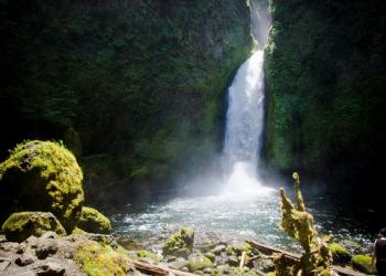
The Columbia River gorge is a spectacular river canyon, 80 miles long and up to 4,000 feet deep, that meanders past cliffs, spires, and ridges set against nearby peaks of the PNW’s Cascade Mountain Range. Explore the sites, sounds and landscapes!

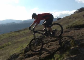

Get a Recreation Pass
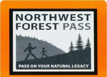
Ready to enjoy an amazing year of outdoor adventures! You have several options to purchase annual or one day passes. Annual passes cover day-use or entrance fees all year, while single-day passes work for one day.
Northwest Forest Plan & Amendment
The Northwest Forest Plan covers 24.5 million acres of federally managed lands in California, Oregon, and Washington. It was established in 1994 to address threats to threatened and endangered species while also contributing to social and economic sustainability in the region. Over 30 years later, the Northwest Forest Plan needs to be updated to accommodate changed ecological and social conditions.