
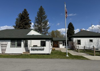
Plains/Thompson Falls Ranger Station
Address: 408 Clayton Plains, MT 59859
Hours of Operation: Monday-Friday, 8:00 a.m. - 4:30 p.m. (Closed on federal holidays)
Office Phone: 406-826-3821
Mailing Address: P.O. Box 429 Plains, MT 59859
Additional Office Information
Located in the northwest corner of the Lolo National Forest, the Plains/Thompson Falls Ranger District is bordered by Idaho to the west, the Kootenai National Forest to the north, and the Flathead Indian Reservation to the east. The district covers more than 490,000 acres of mountainous terrain, offers stunning scenery, abundant wildlife, and a wealth of outdoor recreational opportunities. Thompson Falls and Plains are the two major communities adjacent to the district.
The district is located in Sanders County, Montana, adjacent to the Idaho border. The district includes portions of the Cabinet and Bitterroot Mountains, bisected by the beautiful Clark Fork River.
The Ranger Station is located in Plains (population 1,100), approximately 80 miles northwest of Missoula on scenic Highway 200. Thompson Falls (population 1,500) is 24 miles west of Plains and is the county seat for Sanders County.
Plains is situated at an elevation of 2470 feet, along the banks of the Clark Fork River. It has one of the mildest climates in Montana. Plains is within an easy day's drive of Glacier National Park, Flathead Lake, the National Bison Range, and several major ski areas.
World class hunting opportunities exist for bighorn sheep, elk and deer. Local fishing is renowned for prized trout species such as cutthroat, bull, and rainbow trout and northern pike. The Clark Fork River and its tributaries Thompson River and Prospect Creek are the district's major watersheds.
The area has an abundance of breathtaking destinations with slightly mysterious names, mostly accessible by a well-maintained trail system or by mountain roads. Baldy Mountain, Thompson Peak, Mount Headley, Sundance Ridge, Eddy Mountain, Priscilla Peak, Blossom Lakes, Cabin Lake and Cherry Peak are just a few!
Rich in western Montana history, the Plains/Thompson Falls District was home to David Thompson, an explorer and prodigious mapmaker. The local Native Americans called Thompson Koo-Koo-Sint, which roughly translates into "Star Gazer." He often studied the night sky with his sextant. He remains famous for the accurate maps he produced of this once uncharted territory. A prominent ridge between Thompson River and the Clark Fork is now named Koo-Koo-Sint Ridge in Thompson's honor. Thompson Falls, also named for him, became the location of the old Cabinet National Forest's Supervisor's Office.