Motor Vehicle Use Maps
Motor Vehicle Use Maps (MVUMs) show which routes (roads and trails) are open to motor vehicle travel, what types of vehicles they are open to, and what season they are open. The published hard copy MVUM is the legal document-of-record and is available, free of charge, in the Forest Supervisor’s office. The MVUM is the key to understanding each district's motorized transportation system and can be used in conjunction with the visitor map to determine which roads are open, and how far you are allowed to drive off of the road. Various travel aids/maps (for select Smartphones and GPS units) are available below as supplements to the MVUM, to help you make sure you know which routes are open to motorized use.
MVUM download links
- Western New Mexico
- Central New Mexico
- Eastern New Mexico & Oklahoma/Texas Panhandle
Motorized Trails Guide

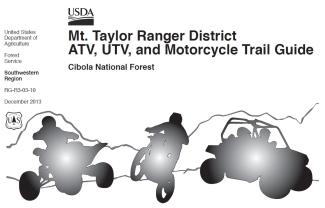
Mt. Taylor Ranger District ATV, UTV & Motorcycle Trail Guide can be purchased ($2.00) at:
- Mt. Taylor Ranger District, 1800 Lobo Canyon Rd., Grants, NM
Forest Supervisor's Office, 2113 Osuna Rd. NE, Albuquerque, NM


