
Recreation Region: Lytle Creek - Cajon Pass Recreation Area
Stonehouse - Stonehouse Cut-of Trail 6W02
The upper trail contours around a steep rocky hillside, crosses a small seasonal stream, then leads further to the Cucamonga Wilderness Boundary sign.
Current Conditions
Some sections of Middle Fork Rd are rough for high clearance vehicles but still passable. This is NOT an OHV route. Street legal vehicles only.

Specific Trail Information
Trail Number
6W02
Trail Type
Standard/Terra Trail — A trail that has a surface consisting predominantly of the ground and that is designed and managed to accommodate use on that surface.
General Information
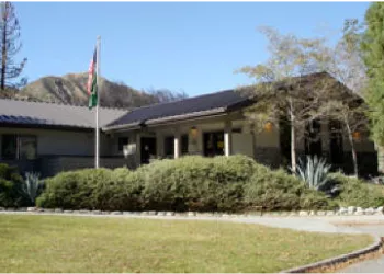
Address: 1209 Lytle Creek Road Lytle Creek, CA 92358
Phone: (909) 382-2851
Hours: Wednesday-Sunday from 8:00 am to 4:30 pm, Monday & Tuesday Closed
Getting There
Trailhead/Starting Points
Connector trail branches off of Middle Fork Non & Wilderness Trail 6W01 and connects to the Stonehouse Crossing Campground.
Directions
Latitude 34.252460
Longitude -117.546537
Elevation 4400 - 4680
Distance .8 miles
Difficulty Easy
Additional Information
Operated By
USDA Forest Service