
Crane Crossing
General Information
No fees are required for this site
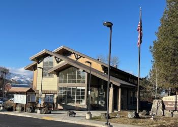
Address: 327 SW Front Street Prairie City, OR 97869
Phone: (541) 820-3800
Hours: Monday-Friday, 8:00 a.m. - 4:30 p.m. (Closed on federal holidays)
Office Email: SM.FS.malpubinfo@usda.gov
Getting There
Latitude / Longitude
Latitude: 44.15822
Longitude: -118.366545
Directions
From the town of Prairie City, OR., turn onto South Main Street. Follow South Main Street to the junction with Bridge Street. Turn left onto Bridge Street and follow past the local cemetary, the road then becomes County Road 62. Follow County Road 62 for approximately 20 miles to the junction with Forest Service Road 16. Turn east onto Forest Service Road 16 for approximately 11 miles to the junction with Forest Service Road 1675. Follow Forest Service Road 1675 approximately 6 miles to the junction with Forest Service Road 774. Follow Forest Service Road 774 to the traihead.
Facility and Amenity Information
Restrooms
Restrooms are available at this site.
Water
Potable water is not available at this site.