
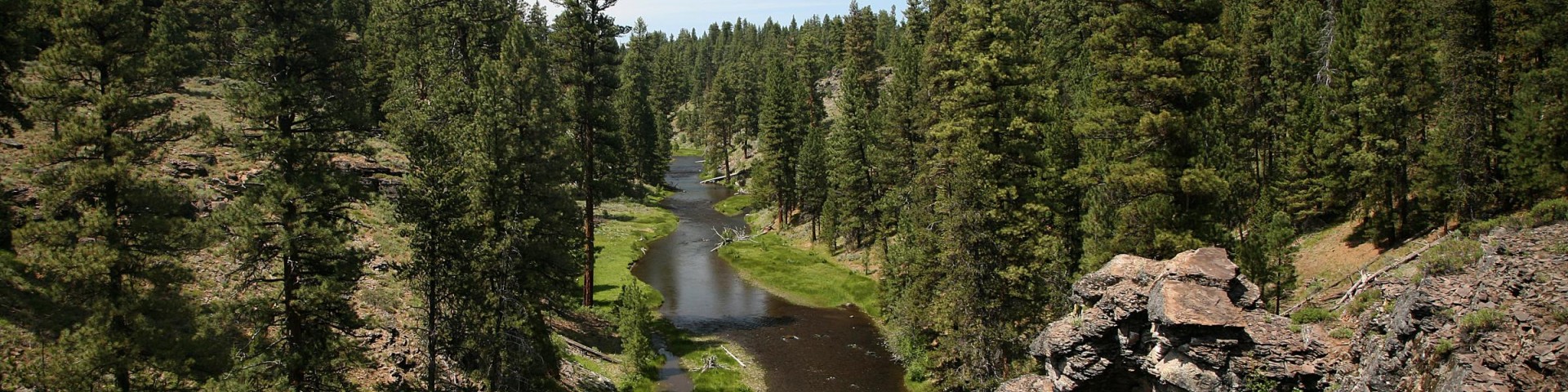
Malheur Wild and Scenic River
The middle fork of the Malheur River was one of forty rivers originally designated in the Omnibus Oregon Wild and Scenic River Act of 1988. Residing completely on National Forest System lands, the entire wild and scenic river boundary encompasses 3,758 acres with 12.0 miles of river.
General Information
No motorized vehicles allowed in river canyon south of Malheur Ford.
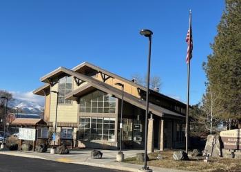
Address: 327 SW Front Street Prairie City, OR 97869
Phone: (541) 820-3800
Hours: Monday-Friday, 8:00 a.m. - 4:30 p.m. (Closed on federal holidays)
Office Email: SM.FS.malpubinfo@usda.gov
Getting There
Directions
The Malheur River is located approximately 27 miles south of Prairie City, Oregon, in the Blue Mountains. To get to the Malheur Ford, from Prairie City, Oregon turn onto South Main Street. Continue to the junction with Bridge Street. Turn left on to Bridge Street, continue past the cemetary, the road then becomes County Road 62. Continue on County Road 62 for approximately 25 miles to the junction with Forest Road 16. Turn west on Forest Road 16 and continue for approximately 5 miles to the junction with Forest Road 1647. Turn south on Forest Road 1647 and follow signs south for 7 miles. Access to the river is limited with most vehicle use occurring along the northern part. Other areas are accessible by hiking and riding stock.
Facility and Amenity Information
Restrooms
Restrooms are not available at this site.
Water
Potable water is not available at this site.