
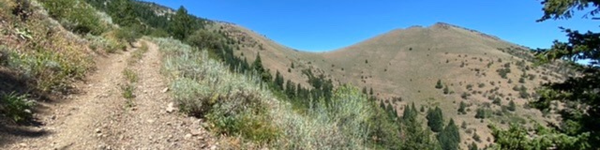
McClellan Trailhead
Fields Peak Trail, #212 starts at Fields Peak-McClellan Mtn Trailhead. Fields Peak Trail is an ATV trail. Fields Peak/McClellan Mountain Trail #216 is accessible from the Fields Peak Trail. McClellan Mountain is a nonmotorized trail. Both trails provide great views of the John Day River Valley. You might catch a glimpse of Big Horn Sheep in this area as well. Fields Peak/McClellan Mountain Trail #216 is also accessible from Riley Creek Trailhead.
General Information
No fee
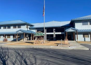
Address: 431 Patterson Bridge Road John Day, OR 97845
Phone: (541) 575-3000
Hours: Monday-Friday, 8:00 a.m. - 4:30 p.m. (Closed on federal holidays)
Office Email: SM.FS.malpubinfo@usda.gov
Getting There
Directions
From John Day, OR, travel west approximately 18 miles on Highway 26 to the junction with Forest Road 21. Drive south on Forest Road 21, approximately 4.5 miles to the junction with Forest Road 115. Proceed east on Forest Road 115 approximately 1/2 mile to the junction with Forest Road 2160. Travel south on Forest Road 2160 approximately 1/4 mile to the junction with Forest Road 2160-041. Continue traveling south on 2160-041 to the trailhead.
Facility and Amenity Information
Water
Potable water is not available at this site.