





McClellan Mountain Trail
This trail allows the recreationist access to the McClellan Mountain Semi-Primitive Roadless Area and is closed to all motorized vehicles. A great trail for hikers and mountainbikers seeking a quiet and secluded adventure. Trailhead is the McClellan Mountain Trailhead.
Specific Trail Information
Trail Number
General Information
Trail Length: 11.57 miles
Trail Begins: Forest Service Road 2190 on the south end
Trail Ends: Fields Peak Trail #212 on the west end
Motorized use prohibited.
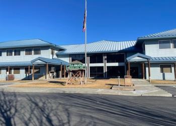
Address: 431 Patterson Bridge Road John Day, OR 97845
Phone: (541) 575-3000
Hours: Monday-Friday, 8:00 a.m. - 4:30 p.m. (Closed on federal holidays)
Office Email: SM.FS.malpubinfo@usda.gov
Getting There
Directions
From John Day, OR., travel west on Highway 26 approximately 18 miles to the junction with Forest Service Road 21. Drive south on Forest Road 21, approximately 4.5 miles to the junction with Forest Road 115. Proceed east on Forest Road 115 approximately 1/2 mile to the junction with Forest Road 2160. Travel south on Forest Road 2160 approximately 1/4 mile to the junction with Forest Road 2160-041. Continue traveling south on 2160-041 to the trailhead.
Recreation Opportunities


Recreation Groups

Recreation Sites, Trails and Campgrounds located on the Blue Mountain Ranger District