





Table Rock Trail
This trail in Monument Rock Wilderness overlooks the Little Malheur River to the south and views of the Unity area can be seen to the east.
The trail travels through an open meadow, high elevation area.
Specific Trail Information
Trail Number
General Information
Trail Length: 2.11 miles
Trail Begins: Forest Service Road 1370
Trail Ends: Wallowa-Whitman National Forest boundry
Wilderness Regulations apply. Motorized and mountain bike use prohibited.
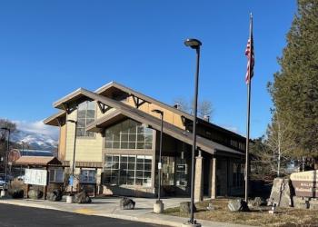
Address: 327 SW Front Street Prairie City, OR 97869
Phone: (541) 820-3800
Hours: Monday-Friday, 8:00 a.m. - 4:30 p.m. (Closed on federal holidays)
Office Email: SM.FS.malpubinfo@usda.gov
Getting There
Directions
Table Rock Trailhead: From Prairie City, OR., turn onto South Main Street. Follow South Main Street to the junction with Bridge Street. Turn left onto Bridge Street and follow past the local cemetary, the road then becomes County Road 62. Follow County Road 62 for approximately 9 miles to Forest Road 13. Follow Forest Road 13 approximately 16 miles to the junction with Forest Road 1370. Take Forest Road 1370 approximately 9 miles to the trailhead.
Recreation Opportunities


Recreation Groups

Recreation Sites, Trails and Campgrounds located on the Blue Mountain Ranger District