

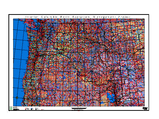
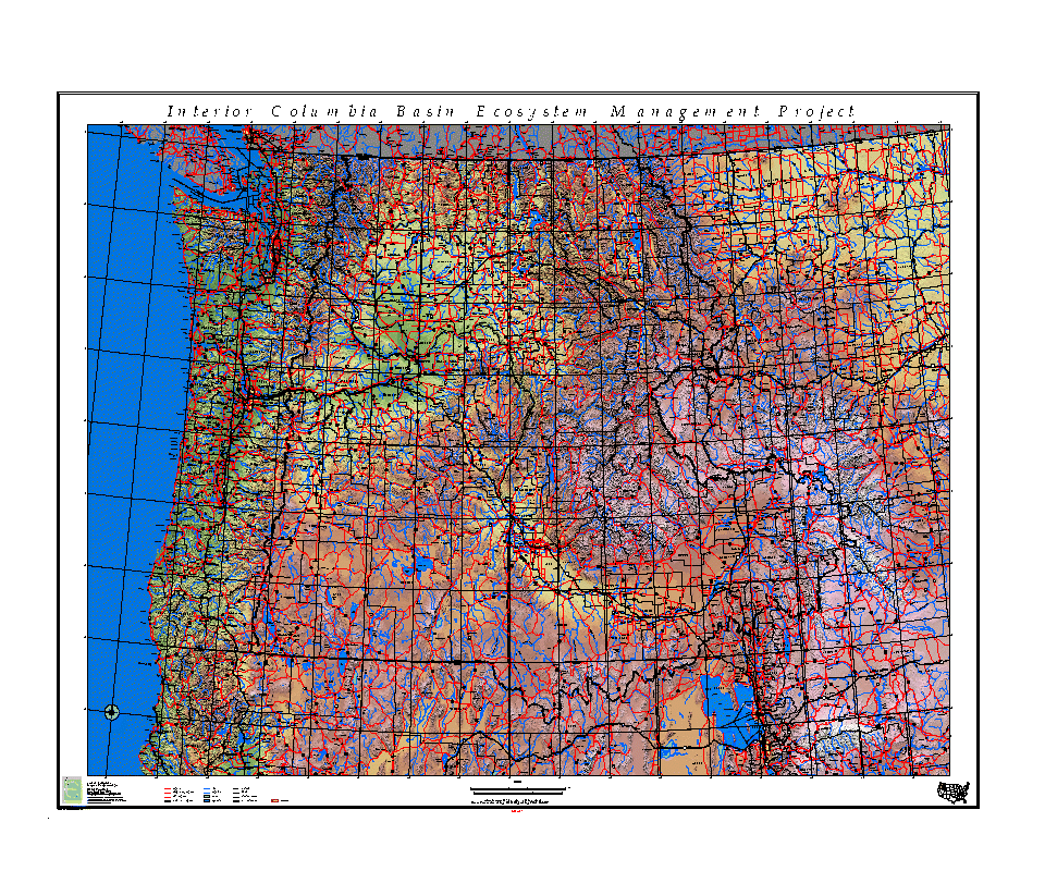
| ICBEMP Terrain Basemap | |
| (File name: PLOTTERN) | |

| 640x480 960x800 |
|
plottern.tar.Z (50312333 Bytes)
| |
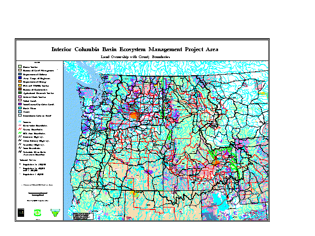
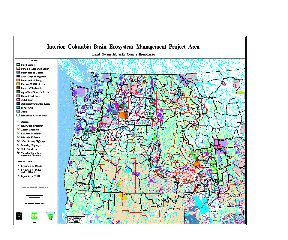
| Map - ICBEMP Area with County Boundaries | |
| (File name: PLOTCNTY) | |

| 640x480 960x800 |
|
plotcnty.tar.Z (10225843 Bytes)
| |
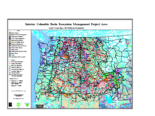
| Map - ICBEMP Area with Subbasins | |
| (File name: PLOTSUB2) | |

| 640x480 960x800 |
|
plotsub2.tar.Z (10602495 Bytes)
| |
Demographic | Disturbance | EIS | Fisheries | Graphics Files | Hydrologic | Landscape Characterization | Minerals/Geology
Models/Related Models | Physiographic | Political | Species Ranges | Subsample | Vegetation |