

| Photo Interpretation Subsample Areas | |
| (File name: MVBPISAM) | |

| 640x480 960x800 |
|
mvbpisam.tar.Z (4034276 Bytes)
| |
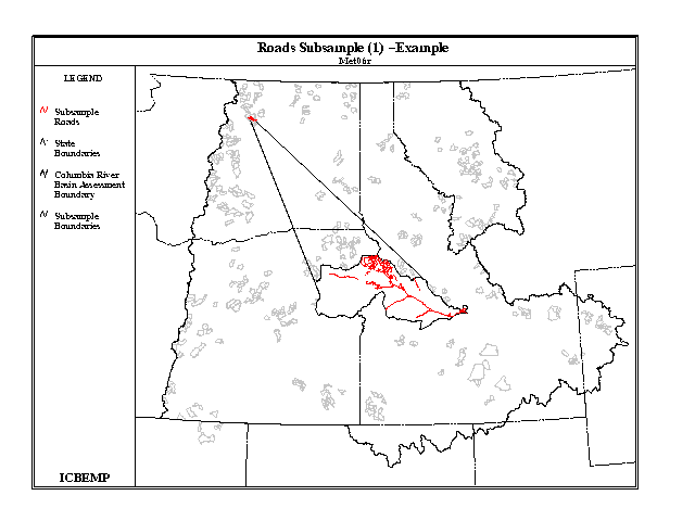
| Roads - Subsample (1) | |
| (File name: SUBROAD1) | |

| 640x480 960x800 |
|
subroad1.tar.Z (2061726 Bytes)
| |
| Roads - Subsample (2) | |
| (File name: SUBROAD2) | |

| 640x480 960x800 |
|
subroad2.tar.Z (1847375 Bytes)
| |
| Roads - Subsample (3) | |
| (File name: SUBROAD3) | |

| 640x480 960x800 |
|
subroad3.tar.Z (4001937 Bytes)
| |
| Roads - Subsample (4) | |
| (File name: SUBROAD4) | |

| 640x480 960x800 |
|
subroad4.tar.Z (1470189 Bytes)
| |
| Roads - Subsample (5) | |
| (File name: SUBROAD5) | |

| 640x480 960x800 |
|
subroad5.tar.Z (3474201 Bytes)
| |
| Subsample Boundaries | |
| (File name: MVBSBSAM) | |

| 640x480 960x800 |
|
mvbsbsam.tar.Z (1375901 Bytes)
| |
| Valley Bottom Settings - Subsample Polygons (1) | |
| (File name: SUBVBPL1) | |

| 640x480 960x800 |
|
subvbpl1.tar.Z (5876886 Bytes)
| |
| Valley Bottom Settings - Subsample Polygons (2) | |
| (File name: SUBVBPL2) | |

| 640x480 960x800 |
|
subvbpl2.tar.Z (2804258 Bytes)
| |
| Valley Bottom Settings - Subsample Polygons (3) | |
| (File name: SUBVBPL3) | |

| 640x480 960x800 |
|
subvbpl3.tar.Z (4042989 Bytes)
| |
| Valley Bottom Settings - Subsample Polygons (4) | |
| (File name: SUBVBPL4) | |

| 640x480 960x800 |
|
subvbpl4.tar.Z (2682875 Bytes)
| |
| Valley Bottom Settings - Subsample Polygons (5) | |
| (File name: SUBVBPL5) | |

| 640x480 960x800 |
|
subvbpl5.tar.Z (6852099 Bytes)
| |
| Valley Bottom Settings Database-Subsample | (File name: MDBVALSB) |
|
mdbvalsb.tar.Z (1615511 Bytes)
|
| Vegetation-Current Midscale Subsample (Pt 1) | |
| (File name: SUBVEGC1) | |

| 640x480 960x800 |
|
subvegc1.tar.Z (25510905 Bytes)
| |
| Vegetation-Current Midscale Subsample (Pt 2) | |
| (File name: SUBVEGC2) | |

| 640x480 960x800 |
|
subvegc2.tar.Z (11399441 Bytes)
| |
| Vegetation-Current Midscale Subsample (Pt 3) | |
| (File name: SUBVEGC3) | |

| 640x480 960x800 |
|
subvegc3.tar.Z (20690169 Bytes)
| |
| Vegetation-Current Midscale Subsample (Pt 4) | |
| (File name: SUBVEGC4) | |

| 640x480 960x800 |
|
subvegc4.tar.Z (12332159 Bytes)
| |
| Vegetation-Current Midscale Subsample (Pt 5) | |
| (File name: SUBVEGC5) | |

| 640x480 960x800 |
|
subvegc5.tar.Z (30367660 Bytes)
| |
| Vegetation-Historical Midscale Subsample (Pt 1) | |
| (File name: SUBVEGH1) | |

| 640x480 960x800 |
|
subvegh1.tar.Z (21528323 Bytes)
| |
| Vegetation-Historical Midscale Subsample (Pt 2) | |
| (File name: SUBVEGH2) | |

| 640x480 960x800 |
|
subvegh2.tar.Z (10521509 Bytes)
| |
| Vegetation-Historical Midscale Subsample (Pt 3) | |
| (File name: SUBVEGH3) | |

| 640x480 960x800 |
|
subvegh3.tar.Z (19412015 Bytes)
| |
| Vegetation-Historical Midscale Subsample (Pt 4) | |
| (File name: SUBVEGH4) | |

| 640x480 960x800 |
|
subvegh4.tar.Z (10441219 Bytes)
| |
| Vegetation-Historical Midscale Subsample (Pt 5) | |
| (File name: SUBVEGH5) | |

| 640x480 960x800 |
|
subvegh5.tar.Z (31232609 Bytes)
| |
Demographic | Disturbance | EIS | Fisheries | Graphics Files | Hydrologic | Landscape Characterization | Minerals/Geology
Models/Related Models | Physiographic | Political | Species Ranges | Subsample | Vegetation |