

| imageID: | 21475 |
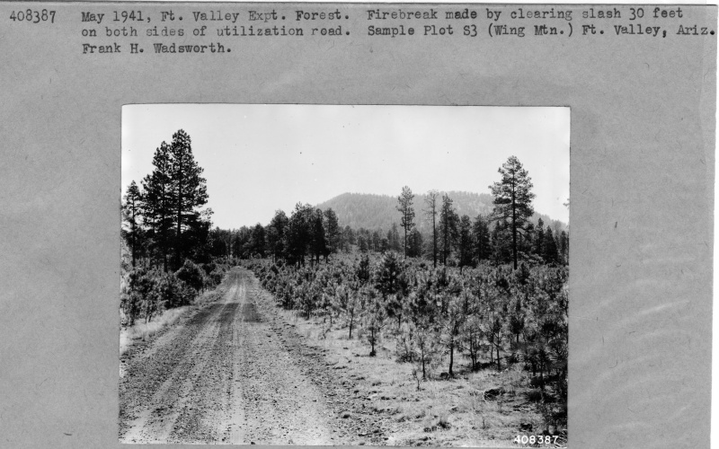
| Description: | Wing Mountain Utilization Road |
| Keywords: | forest stand utilization road sample plot |
| Photographer: | Frank H. Wadsworth |
| Original collection id: | 408387 |
| Media: | Black & White Print |
| Collection: | Fort Valley Experimental Forest historical photographs |
| Quality: | 3 |
| Location: | Fort Valley Exp. Forest; AZ; USA |
| Date(mm/yyyy): | 05/1941 |
| Comments: | Coconino Sample Plot S3; Firebreak made by clearing slash 30 feet on both sides of utilization road. Sample Plot S3(Wing Mtn). |
| Citation: | Use of this image is governed by Creative Commons CC BY. If you use the image, please include the following citation: Olberding, Susan D.; Huebner, Daniel P.; Edminster, Carleton B. 2007. Fort Valley Experimental Forest historical photographs. Fort Collins, CO: U.S. Department of Agriculture, Forest Service, Rocky Mountain Research Station. https://doi.org/10.2737/RDS-2007-0005 |
Your help is appreciated. If you see an image that has any inaccuracy please send a note to the Archive team. Thank you!