

| imageID: | 21521 |
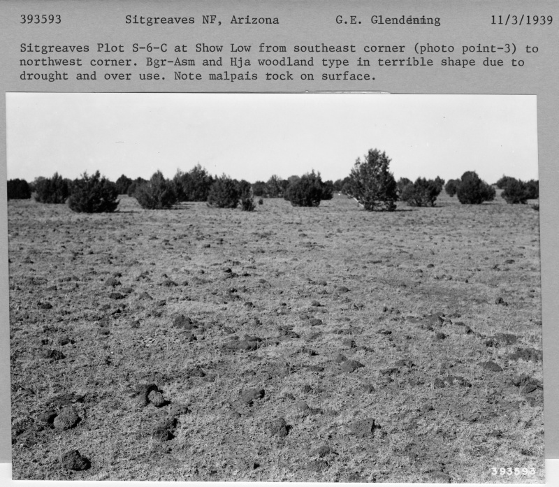
| Description: | Sitgreaves Plot S 6 C |
| Keywords: | drought |
| Photographer: | G. E. Glendening |
| Original collection id: | 393593 |
| Media: | Black and white print |
| Collection: | Fort Valley Experimental Forest historical photographs |
| Quality: | 3 |
| Location: | Sitgreaves N. F.; AZ; USA |
| Date(mm/dd/yyyy): | 11/03/1939 |
| Comments: | Sitgreaves Plot S-6-C at Show Low from S.E. corner (photo point-3) to N.W. corner. Bgr-Asm and Hja woodland type in terible shape due to drought and over use. Note malpais rock on surface. See 1953 repeat by JF Arnold: J-301. |
| Citation: | Use of this image is governed by Creative Commons CC BY. If you use the image, please include the following citation: Olberding, Susan D.; Huebner, Daniel P.; Edminster, Carleton B. 2007. Fort Valley Experimental Forest historical photographs. Fort Collins, CO: U.S. Department of Agriculture, Forest Service, Rocky Mountain Research Station. https://doi.org/10.2737/RDS-2007-0005 |
Your help is appreciated. If you see an image that has any inaccuracy please send a note to the Archive team. Thank you!