

| imageID: | 21671 |
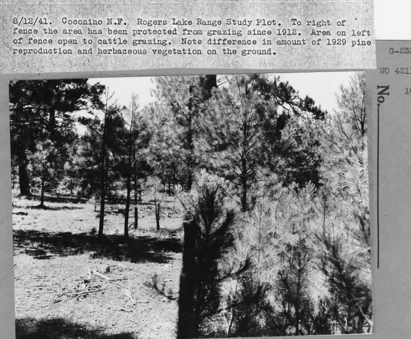
| Description: | Rogers Lake Range Study Plot |
| Keywords: | vegetation types grazing fence line effect protected area range |
| Organisms: | ponderosa pine |
| Photographer: | G.E. Glendening |
| Original collection id: | 421128 |
| Media: | Black & White Print |
| Collection: | Fort Valley Experimental Forest historical photographs |
| Quality: | 3 |
| Location: | Coconino NF; AZ; USA |
| Date(mm/dd/yyyy): | 08/12/1941 |
| Comments: | To right of fence the area has been protected from grazing since 1912. Area on left of fence open to cattle grazing. Note difference in amt.of 1929 pine reproduction and herbaceous vegetation on the ground. |
| Citation: | Use of this image is governed by Creative Commons CC BY. If you use the image, please include the following citation: Olberding, Susan D.; Huebner, Daniel P.; Edminster, Carleton B. 2007. Fort Valley Experimental Forest historical photographs. Fort Collins, CO: U.S. Department of Agriculture, Forest Service, Rocky Mountain Research Station. https://doi.org/10.2737/RDS-2007-0005 |
Your help is appreciated. If you see an image that has any inaccuracy please send a note to the Archive team. Thank you!