

| imageID: | 21675 |
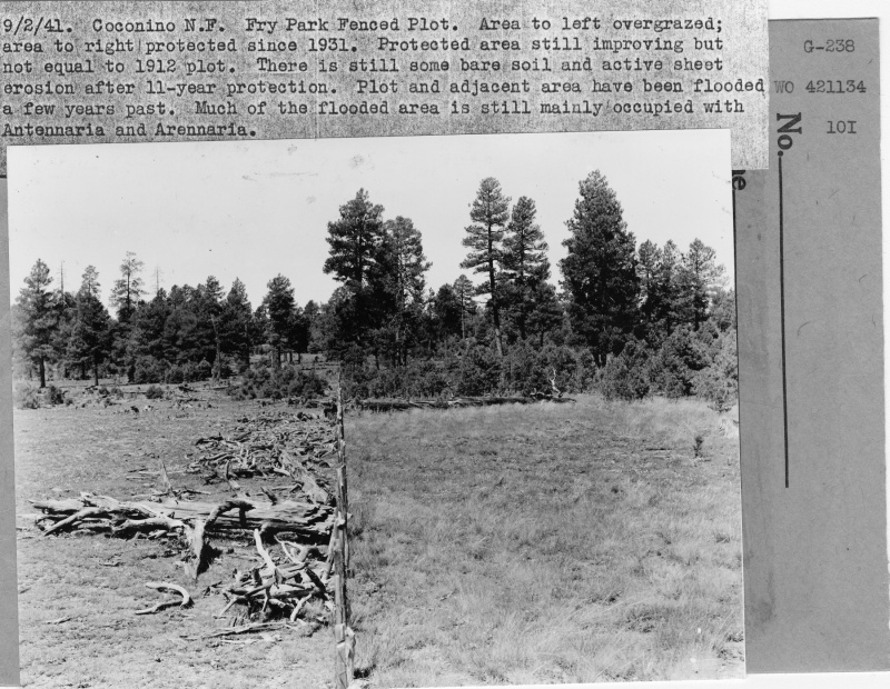
| Description: | Fry Park Fenced Plot |
| Keywords: | erosion grasses flooding fence line effect protected area overgrazed |
| Photographer: | G.E. Glendening |
| Original collection id: | 421134 |
| Media: | Black & White Print |
| Collection: | Fort Valley Experimental Forest historical photographs |
| Quality: | 3 |
| Location: | Coconino NF; AZ; USA |
| Date(mm/dd/yyyy): | 09/02/1941 |
| Comments: | Area to left overgrazed; area to right protected since 1931. Protected area still improving but not equal to 1912 plot. There is still some bare soil and active sheet erosion after 11 yr protection. Plot and adjacent area have been flloded a few years past. Much of the flooded area is still mainly occupied with Antennaria and Arennaria. |
| Citation: | Use of this image is governed by Creative Commons CC BY. If you use the image, please include the following citation: Olberding, Susan D.; Huebner, Daniel P.; Edminster, Carleton B. 2007. Fort Valley Experimental Forest historical photographs. Fort Collins, CO: U.S. Department of Agriculture, Forest Service, Rocky Mountain Research Station. https://doi.org/10.2737/RDS-2007-0005 |
Your help is appreciated. If you see an image that has any inaccuracy please send a note to the Archive team. Thank you!