

| imageID: | 21684 |
| Description: | Big Fill Plot |
| Keywords: | fence line effect protected area Improvement soil |
| Photographer: | G.E. Glendening |
| Original collection id: | 421142 |
| Media: | Black & White Print |
| Collection: | Fort Valley Experimental Forest historical photographs |
| Quality: | 3 |
| Location: | Coconino NF; AZ; USA |
| Date(mm/dd/yyyy): | 09/03/1941 |
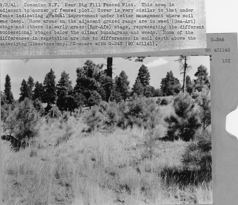
| Comments: | Near Big Fill Fenced Plot. This area is adjacent to corner of fenced plot. Cover is very similar to that under fence indicating gradual improvement under better management where soil was deep. Some areas on the adjacent grazed range are in weed (Ssa0Ari) stage and others in early grass (Bgr-Afe) stage, representing thedifferent successional stages below the climax bunchgrass and weeds. Some of the differenced in vegetation are due to differences in soil depth above the underlying limestone cap. Compare with G-245 (WO 421141). |
| Citation: | Use of this image is governed by Creative Commons CC BY. If you use the image, please include the following citation: Olberding, Susan D.; Huebner, Daniel P.; Edminster, Carleton B. 2007. Fort Valley Experimental Forest historical photographs. Fort Collins, CO: U.S. Department of Agriculture, Forest Service, Rocky Mountain Research Station. https://doi.org/10.2737/RDS-2007-0005 |
Your help is appreciated. If you see an image that has any inaccuracy please send a note to the Archive team. Thank you!