

| imageID: | 25944 |
| Description: | Gila River, Tamarix |
| Keywords: | rivers |
| Photographer: | D. R. Cable |
| Original collection id: | C-13 |
| Media: | 3 1/2'' x 4 1/2'' black and white photo |
| Collection: | Fort Valley Experimental Forest historical photographs |
| Quality: | 3 |
| Location: | Gila River; USA |
| Date(mm/yyyy): | 06/1953 |
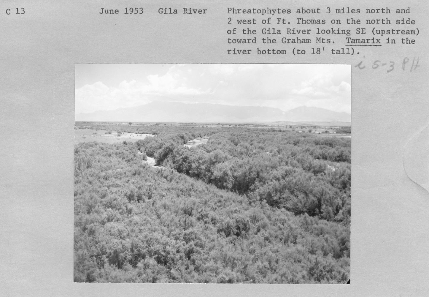
| Comments: | Phreatophytes about 3 miles north and 2 west of Ft. Thomas on the north side of the Gila river looking SE (upstream) toward the Graham Mts. Tamarix in the river bottom (to 18' tall). |
| Citation: | Use of this image is governed by Creative Commons CC BY. If you use the image, please include the following citation: Olberding, Susan D.; Huebner, Daniel P.; Edminster, Carleton B. 2007. Fort Valley Experimental Forest historical photographs. Fort Collins, CO: U.S. Department of Agriculture, Forest Service, Rocky Mountain Research Station. https://doi.org/10.2737/RDS-2007-0005 |
Your help is appreciated. If you see an image that has any inaccuracy please send a note to the Archive team. Thank you!