

| imageID: | 25951 |
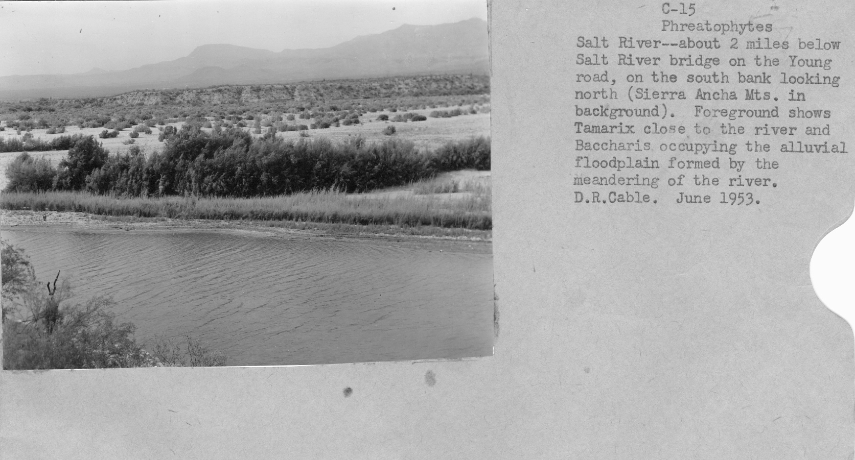
| Description: | floodplain on Salt River |
| Keywords: | desert shrub rivers |
| Photographer: | D. R. Cable |
| Original collection id: | C-15 |
| Media: | 3 1/2'' x 4 1/2'' black and white photo |
| Collection: | Fort Valley Experimental Forest historical photographs |
| Quality: | 3 |
| Location: | Salt River; AZ; USA |
| Date(mm/yyyy): | 06/1953 |
| Comments: | About 2 miles below the Salt River bridge on the Young road, on the south bank looking north.(Sierra Ancha Mts in background.) Foreground shows Tamarix close to the river and Baccharis occupying the alluvial flood plain formed by the meandering of the river. |
| Citation: | Use of this image is governed by Creative Commons CC BY. If you use the image, please include the following citation: Olberding, Susan D.; Huebner, Daniel P.; Edminster, Carleton B. 2007. Fort Valley Experimental Forest historical photographs. Fort Collins, CO: U.S. Department of Agriculture, Forest Service, Rocky Mountain Research Station. https://doi.org/10.2737/RDS-2007-0005 |
Your help is appreciated. If you see an image that has any inaccuracy please send a note to the Archive team. Thank you!