| Collection: | RMRS Archive Images |
| Keywords: |
snow mixed conifer watershed research watershed management |
| Location: | ThomasCreek Experimental Watershed, Apache-Sitgraves NF; AZ; USA |
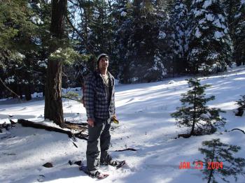
| Description: | Boris is show-shoeing up the ridge between the North and South Forks of Thomas Creek. |
| Date: | 01/23/2004 |
| Collection: | RMRS Archive Images |
| Keywords: |
snow mixed conifer scenic watershed research watershed management |
| Location: | Thomas Creek Experimental Watershed, Apache-Sitgraves NF; AZ; USA |
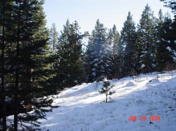
| Description: | The ridge bewteen North and South Forks of Thomas Creek. |
| Date: | 01/23/2004 |
| Collection: | RMRS Archive Images |
| Keywords: |
snow watershed research watershed management |
| Location: | Thomas Creek Experimental Watershed, Apache-Sitgraves NF; AZ; USA |
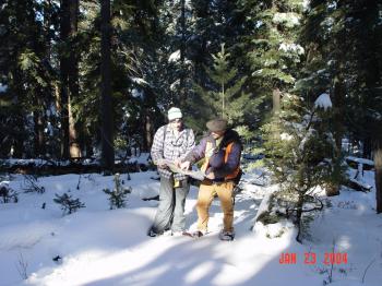
| Description: | Duncan is taking a breather in the sun, while GPSing the watershed boundaries of Thomas Creek. |
| Date: | 01/23/2004 |
| Collection: | RMRS Archive Images |
| Keywords: |
snow mixed conifer watershed research watershed management |
| Location: | Thomas Creek Experimental Watershed, Apache-Sitgraves NF; AZ; USA |
| Description: | Boris and Duncan are dicussing the watershed boundaries of Thomas Creek. |
| Date: | 01/23/2004 |
| Collection: | RMRS Archive Images |
| Keywords: |
snow watershed research watershed management |
| Location: | Thomas Creek Experimental Watershed, Apache-Sitgraves NF; AZ; USA |
| Description: | Lost? We are never lost. We have a GPS. |
| Date: | 01/23/2004 |
| Collection: | RMRS Archive Images |
| Keywords: |
scenic watershed research watershed management |
| Location: | East Fork of Castle Creek Experimental Watershed, White Mountain Apache-Sitgraves NF; AZ; USA |
| Description: | Castle Rock as seen from the Southern Ridge of the East Fork of the Castle Creek Experimental Watershed. |
| Date: | 01/10/2004 |
| Collection: | RMRS Archive Images |
| Keywords: |
scenic watershed research watershed management |
| Location: | East Fork of Castle Creek Experimental Watershed, White Mountain Apache-Sitgraves NF; AZ; USA |
| Description: | Looking South from the Southern Ridge of the East Fork of the Castle Creek Experimental Watershed. |
| Date: | 01/10/2004 |
| Collection: | RMRS Archive Images |
| Keywords: |
wildlife watershed management |
| Location: | Apache-Sitgraves NF; AZ; USA |
| Description: | A Mexican Gray Wolf is hidden at the edge of a meadow within the Wolf Recovery Area in the White Mountains |
| Date: | 01/10/2004 |
| Collection: | RMRS Archive Images |
| Keywords: |
stream flow scenic watershed research watershed management |
| Location: | Willow Creek Experimental Watershed, Apache-Sitgraves NF; AZ; USA |
| Description: | Willow Creek running through the snow covered meadow in the White Mountains. |
| Date: | 01/10/2004 |
| Collection: | RMRS Archive Images |
| Keywords: |
mixed conifer watershed research watershed management |
| Location: | Willow Creek Experimental Watershed, Apache-Sitgraves NF; AZ; USA |
| Description: | The road leading to Willow Creek weir no. 1. |
| Date: | 01/10/2004 |
| Collection: | RMRS Archive Images |
| Keywords: |
snow mixed conifer scenic watershed structures watershed research watershed management |
| Location: | Willow Creek Experimental Watershed, Apache-Sitgraves NF; AZ; USA |
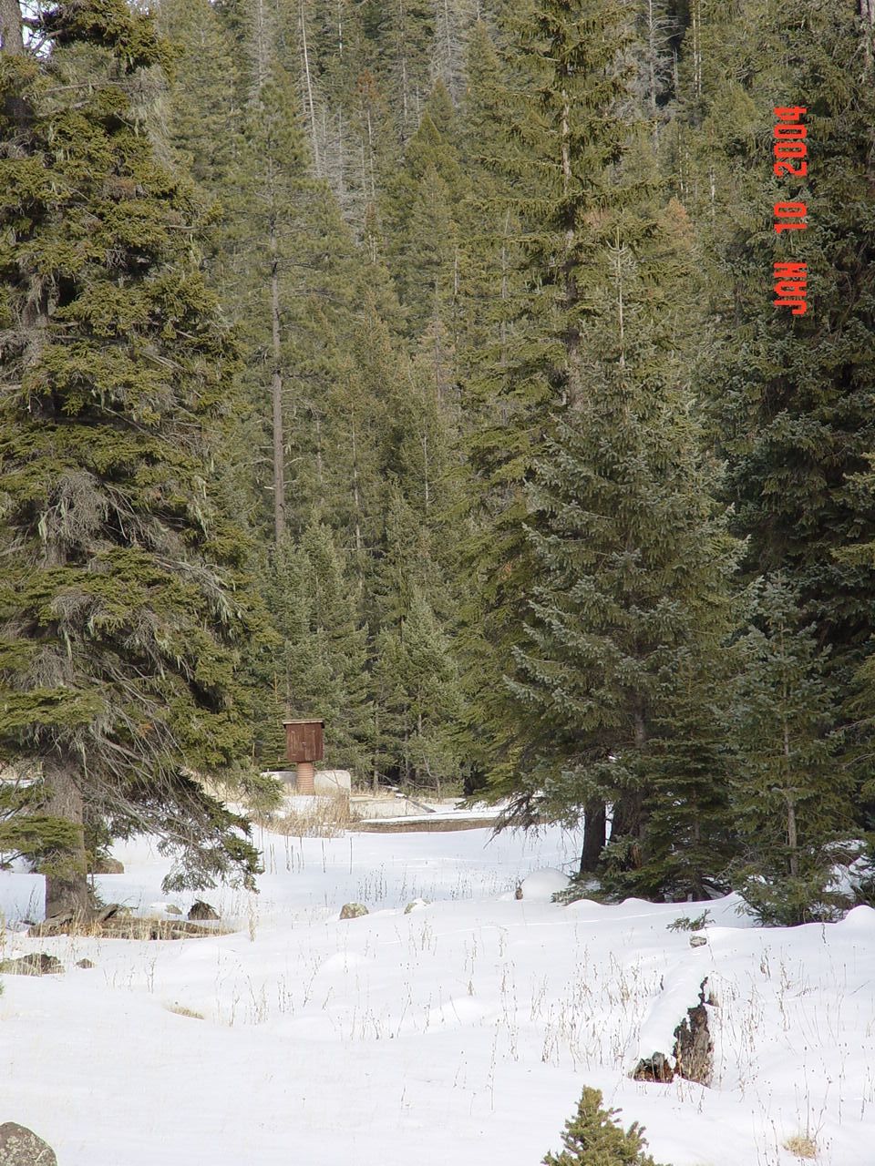
| Description: | Willow Creek weir no. 1. |
| Date: | 01/10/2004 |
| Collection: | RMRS Archive Images |
| Keywords: |
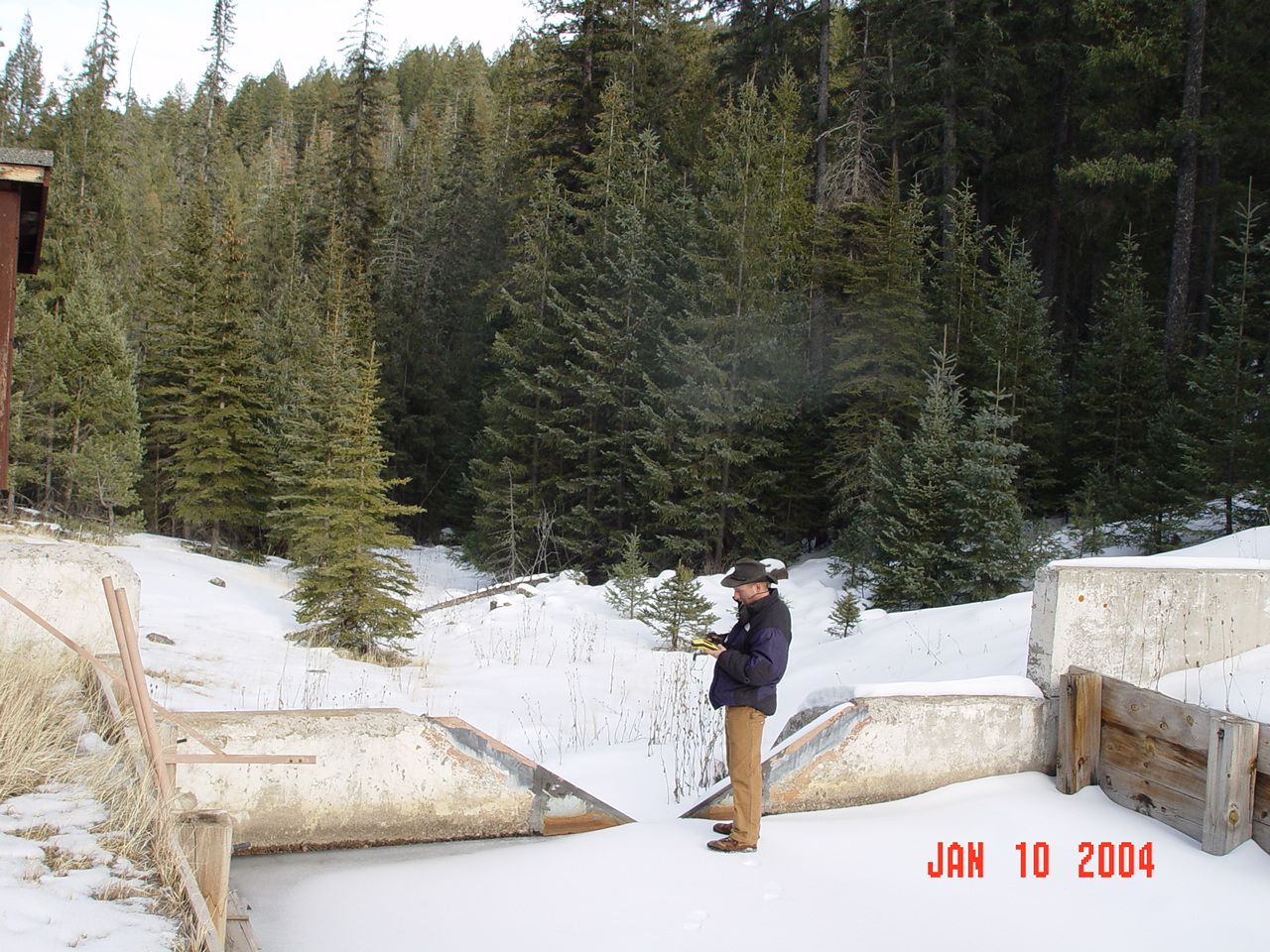
stream gage snow mixed conifer watershed structures watershed research watershed management |
| Location: | Willow Creek Experimental Watershed, Apache-Sitgraves NF; AZ; USA |
| Description: | Boris is GPSing the location of Willow Creek weir no. 1. |
| Date: | 01/10/2004 |
| Collection: | RMRS Archive Images |
| Keywords: |
wildlife watershed research signage watershed management |
| Location: | White Mountain Apache-Sitgraves NF; AZ; USA |
| Description: | The Thomas Creek and Castle Creek experimental watersheds are located within the Mexican Gray Wolf Recovery Area |
| Date: | 01/09/2004 |
| Collection: | RMRS Archive Images |
| Keywords: |
scenic watershed research watershed management |
| Location: | West Fork of Castle Creek Experimental Watershed, White Mountain Apache-Sitgraves NF; AZ; USA |
| Description: | Steve is standing within the West Fork watershed of Castel Creek pointing toward the Thomas Creek Experimental Watersheds. |
| Date: | 01/09/2004 |
| Collection: | RMRS Archive Images |
| Keywords: |
scenic watershed research watershed management |
| Location: | West Fork of Castle Creek Experimental Watershed, White Mountain Apache-Sitgraves NF; AZ; USA |
| Description: | Looking towards New Mexico within the West Fork watershed of Castel Creek. |
| Date: | 01/09/2004 |
| Collection: | RMRS Archive Images |
| Keywords: |
watershed research watershed management |
| Location: | West Fork of Castle Creek Experimental Watershed, White Mountain Apache-Sitgraves NF; AZ; USA |
| Description: | Boris is standing on a hill with the West Fork watershed of Castel Creek in the background. |
| Date: | 01/09/2004 |
| Collection: | RMRS Archive Images |
| Keywords: |
wildlife watershed research signage watershed management |
| Location: | West Fork of Castle Creek Experimental Watershed, White Mountain Apache-Sitgraves NF; AZ; USA |
| Description: | Boris is standing to a sign explaining the Wolf Recovery program. |
| Date: | 01/09/2004 |
| Collection: | RMRS Archive Images |
| Keywords: |
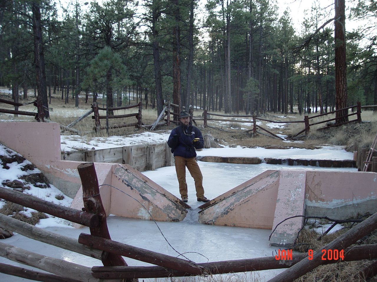
stream gage watershed structures watershed research watershed management |
| Location: | West Fork of Castle Creek Experimental Watershed, White Mountain Apache-Sitgraves NF; AZ; USA |
| Description: | Boris is GPSing the location of the weir of the West Fork of the Castle Creek Experimental Watershed. |
| Date: | 01/09/2004 |
| Collection: | RMRS Archive Images |
| Keywords: |
mixed conifer watershed research watershed management |
| Location: | Thomas Creek Experimental Watershed, White Mountain Apache-Sitgraves NF; AZ; USA |
| Description: | The watershed boundaries of the Thomas Creek experimental watersheds follow pronounced ridges to the North-East. |
| Date: | 01/08/2004 |


