| Collection: | RMRS Archive Images |
| Keywords: |
watershed structures watershed research watershed management |
| Location: | Bar M, Beaver Creek Experimental Watershed; AZ; United States |
| Description: | Boris is cutting off a master lock for the BarM gondola that had been rusted should over the years. |
| Date: | 04/01/2005 |
| Collection: | RMRS Archive Images |
| Keywords: | watershed management |
| Location: | Bar M, Beaver Creek Experimental Watershed; AZ; United States |
| Description: | Not Available |
| Date: | 04/01/2005 |
| Collection: | RMRS Archive Images |
| Keywords: |
watershed structures watershed management |
| Location: | Bar M, Beaver Creek Experimental Watershed; AZ; USA |
| Description: | A view of the BarM stilling pond from the gondola. |
| Date: | 04/01/2005 |
| Collection: | RMRS Archive Images |
| Keywords: |
watershed structures watershed management |
| Location: | Bar M, Beaver Creek Experimental Watershed; AZ; USA |
| Description: | A view of the BarM weir from the gondola. |
| Date: | 04/01/2005 |
| Collection: | RMRS Archive Images |
| Keywords: |
scenic watershed structures watershed management |
| Location: | Bar M, Beaver Creek Experimental Watershed; AZ; USA |
| Description: | A view of the BarM stilling pond from the gondola. |
| Date: | 04/01/2005 |
| Collection: | RMRS Archive Images |
| Keywords: |
stream gage watershed structures watershed research watershed management |
| Location: | Bar M, Beaver Creek Experimental Watershed; AZ; USA |
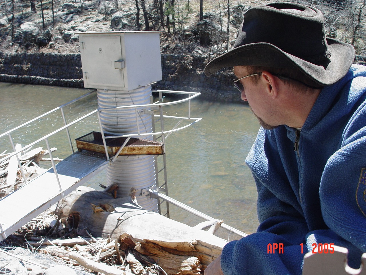
| Description: | Boris is inspecting the debris deposited behind the stilling well from the gondola. |
| Date: | 04/01/2005 |
| Collection: | RMRS Archive Images |
| Keywords: |
watershed structures watershed research watershed management |
| Location: | Bar M, Beaver Creek Experimental Watershed; AZ; USA |
| Description: | Boris and Duncan had to use the gondola to cross Bar M canyon in order to inspect damage caused by winter and spring flow events. |
| Date: | 04/01/2005 |
| Collection: | RMRS Archive Images |
| Keywords: |
watershed structures watershed research watershed management |
| Location: | Bar M, Beaver Creek Experimental Watershed; AZ; USA |
| Description: | Boris is standing at the highest flood level mark of the winter and spring flow events as determined by the remaining debris. |
| Date: | 04/01/2005 |
| Collection: | RMRS Archive Images |
| Keywords: |
snow mixed conifer watershed research watershed management |
| Location: | ThomasCreek Experimental Watershed, Apache-Sitgraves NF; AZ; USA |
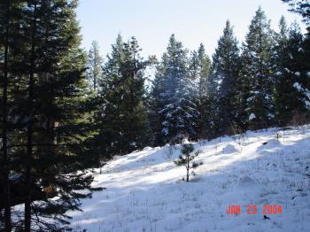
| Description: | Boris is show-shoeing up the ridge between the North and South Forks of Thomas Creek. |
| Date: | 01/23/2004 |
| Collection: | RMRS Archive Images |
| Keywords: |
snow mixed conifer scenic watershed research watershed management |
| Location: | Thomas Creek Experimental Watershed, Apache-Sitgraves NF; AZ; USA |
| Description: | The ridge bewteen North and South Forks of Thomas Creek. |
| Date: | 01/23/2004 |
| Collection: | RMRS Archive Images |
| Keywords: |
stream gage watershed structures watershed research watershed management |
| Location: | Woods Canyon, Watershed 19, Beaver Creek Experimental Watershed, Coconino NF; AZ; USA |
| Description: | Woods Canyon Weir frozen over |
| Date: | 12/17/2003 |
| Collection: | RMRS Archive Images |
| Keywords: |
meteorological equipment watershed structures watershed research Northern Arizona University watershed management |
| Location: | Bar M, Watershed 20, Beaver Creek Experimental Watershed, Coconino NF; AZ; USA |
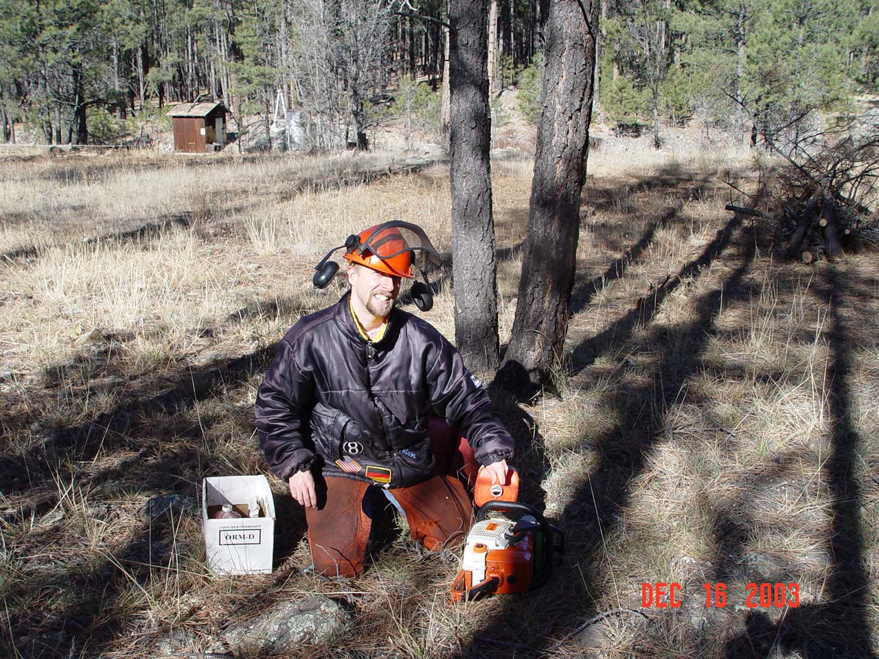
| Description: | Boris is refilling the bar oil of a chain saw during maintanence work at BarM gaging station (seen in the back). |
| Date: | 12/16/2003 |
| Collection: | RMRS Archive Images |
| Keywords: |
meteorological equipment watershed research Northern Arizona University watershed management |
| Location: | Bar M, Watershed 20, Beaver Creek Experimental Watershed, Coconino NF; AZ; USA |
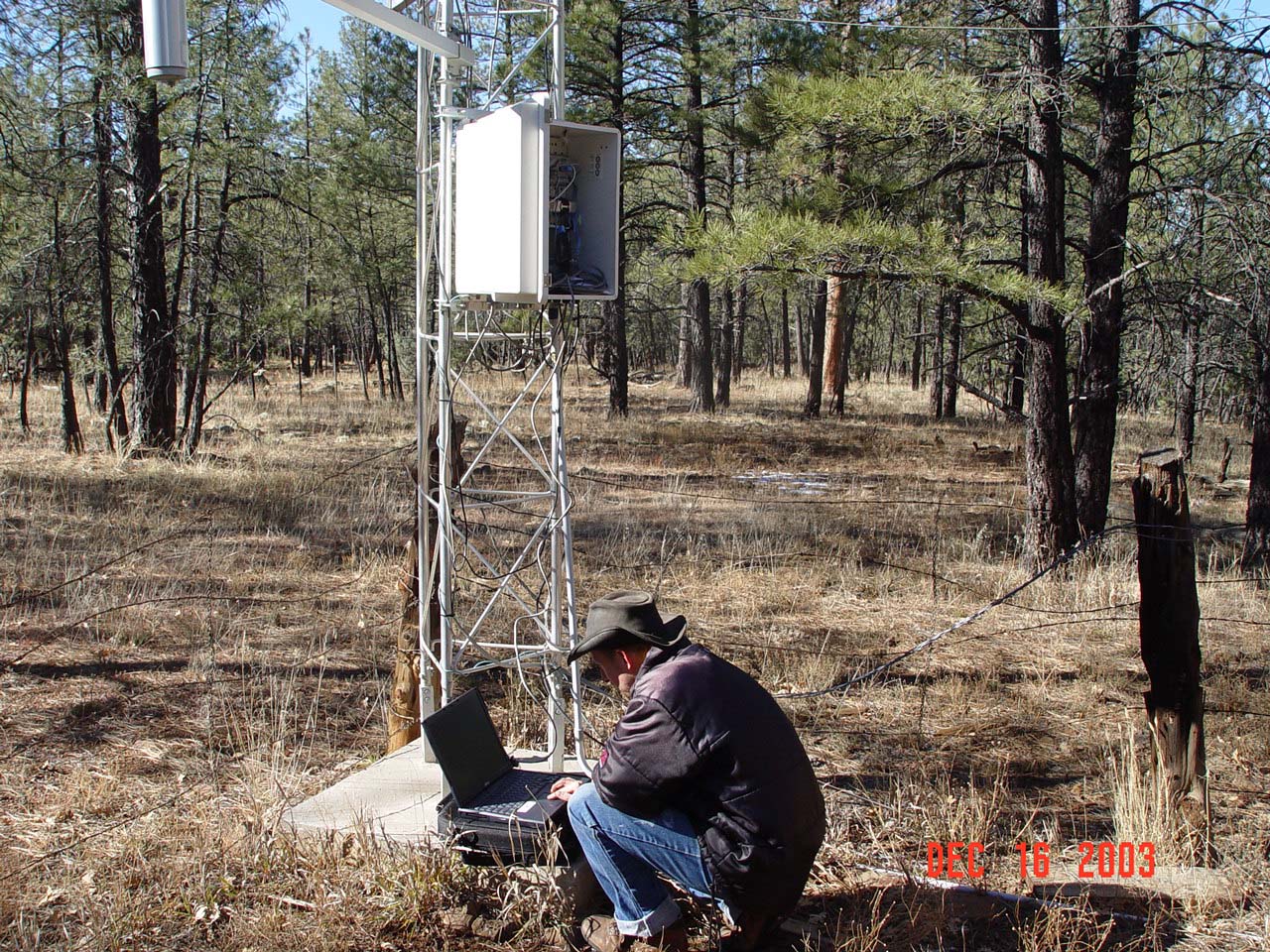
| Description: | Boris is downloading data at BarM gaging and weather stations. |
| Date: | 12/16/2003 |
| Collection: | RMRS Archive Images |
| Keywords: |
watershed structures watershed research Northern Arizona University watershed management |
| Location: | Watershed 87, Beaver Creek Experimental Watershed; AZ; USA |
| Description: | Boris inspects part of the storage shed of sub-watershed 87 during an assessment to reinstate a series of sub-watersheds. |
| Date: | 12/09/2003 |
| Collection: | RMRS Archive Images |
| Keywords: |
stream gage watershed structures watershed research Northern Arizona University watershed management |
| Location: | Watershed 87, Beaver Creek Experimental Watershed; AZ; USA |
| Description: | Boris is testing the structural integrity of the stream gage shed of sub-watershed 87 during an assessment to reinstate a series of sub-watersheds. |
| Date: | 12/09/2003 |
| Collection: | RMRS Archive Images |
| Keywords: |
watershed structures watershed research Northern Arizona University watershed management |
| Location: | Watershed 87, Beaver Creek Experimental Watershed; AZ; USA |
| Description: | Boris stands on top of the stream gage sheds of sub-watershed 87 during an assessment to reinstate a series of sub-watersheds. |
| Date: | 12/09/2003 |
| Collection: | RMRS Archive Images |
| Keywords: |
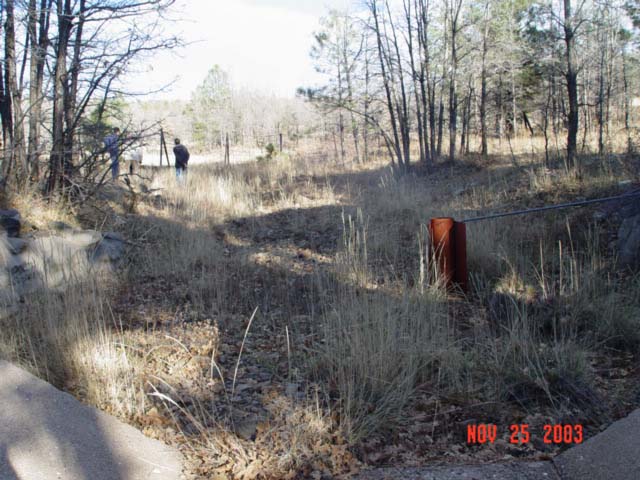
scenic watershed research watershed management |
| Location: | Watershed 12, Beaver Creek Experimental Watershed; AZ; USA |
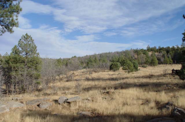
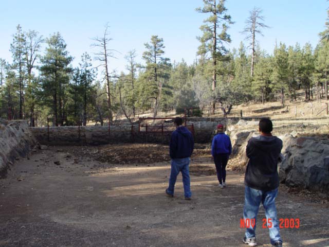
| Description: | Watershed 12, 21 years after the Beaver Creek Pilot Program ceased operation |
| Date: | 11/25/2003 |
| Collection: | RMRS Archive Images |
| Keywords: |
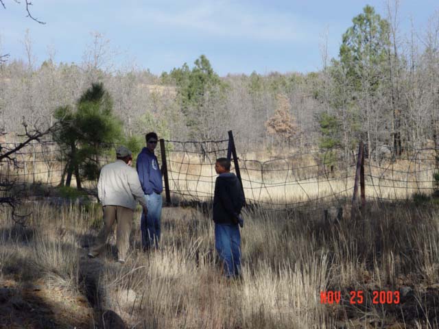
stream gage watershed structures Northern Arizona University watershed management |
| Location: | Watershed 12, Beaver Creek Experimental Watershed; AZ; USA |
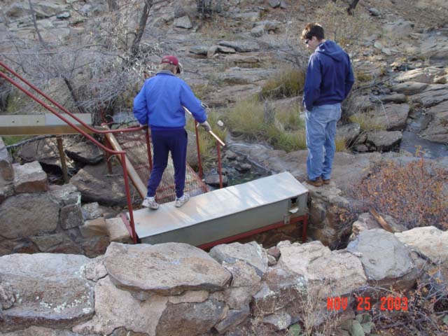
| Description: | Students from NAU's School of Forestry are visiting the Watershed 12 gaging station during a field-trip for a Hydrology Course |
| Date: | 11/25/2003 |
| Collection: | RMRS Archive Images |
| Keywords: |
watershed structures watershed research watershed management |
| Location: | Watershed 12, Beaver Creek Experimental Watershed; AZ; USA |
| Description: | Watershed 12, 21 years after the Beaver Creek Pilot Program ceased operation |
| Date: | 11/25/2003 |
| Collection: | RMRS Archive Images |
| Keywords: |
stream gage watershed structures watershed research Northern Arizona University watershed management |
| Location: | Watershed 12, Beaver Creek Experimental Watershed; AZ; USA |
| Description: | Students from NAU's School of Forestry are visiting the Watershed 12 gaging station during a field-trip for a Hydrology Course |
| Date: | 11/25/2003 |
| Collection: | RMRS Archive Images |
| Keywords: |
watershed structures watershed research Northern Arizona University watershed management |
| Location: | Watershed 12, Beaver Creek Experimental Watershed; AZ; USA |
| Description: | Students from NAU's School of Forestry are inspecting Watershed 12's research structures during a field-trip for a Hydrology Course. |
| Date: | 11/25/2003 |
| Collection: | RMRS Archive Images |
| Keywords: |
stream gage watershed structures watershed research watershed management |
| Location: | Watershed 12, Beaver Creek Experimental Watershed; AZ; USA |
| Description: | Watershed 12, 21 years after the Beaver Creek Pilot Program ceased operation |
| Date: | 11/25/2003 |
| Collection: | RMRS Archive Images |
| Keywords: |
watershed structures watershed research Northern Arizona University watershed management |
| Location: | Watershed 12, Beaver Creek Experimental Watershed; AZ; USA |
| Description: | Students from NAU's School of Forestry are inspecting Watershed 12's sedimentation collection instrumentation during a field-trip for a Hydrology Course. |
| Date: | 11/25/2003 |
| Collection: | RMRS Archive Images |
| Keywords: |
stream gage scenic watershed structures watershed research watershed management |
| Location: | Watershed 12, Beaver Creek Experimental Watershed; AZ; USA |
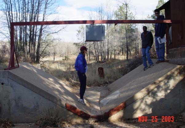
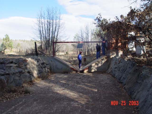
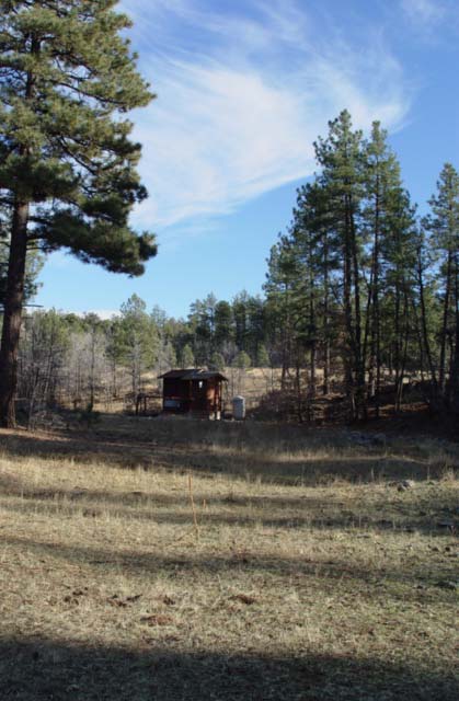
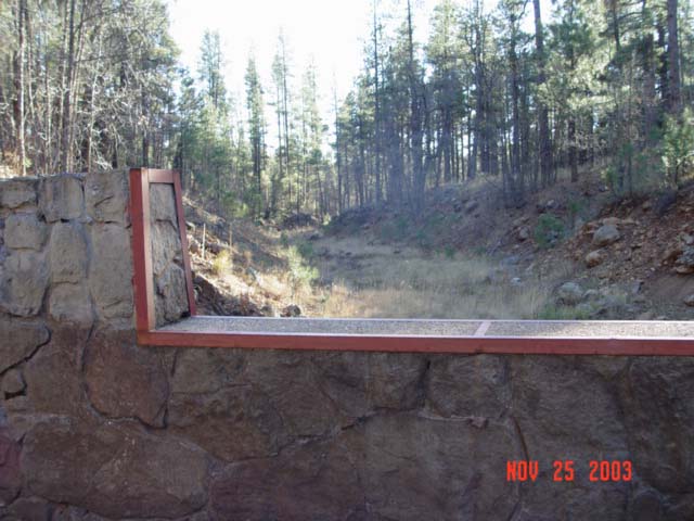
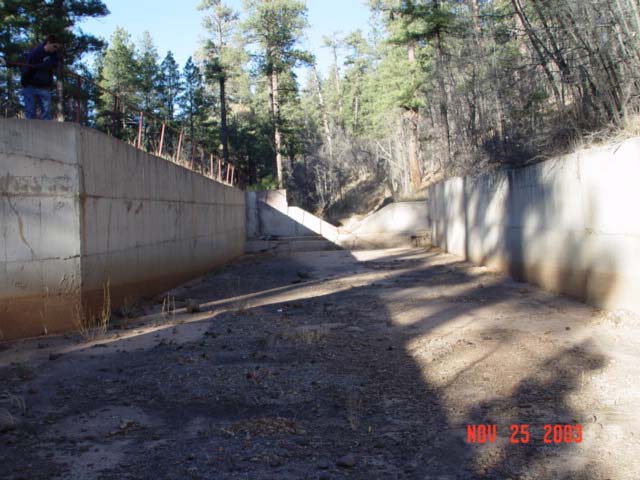
| Description: | Watershed 12 gaging station, 21 years after the Beaver Creek Pilot Program ceased operation |
| Date: | 11/25/2003 |
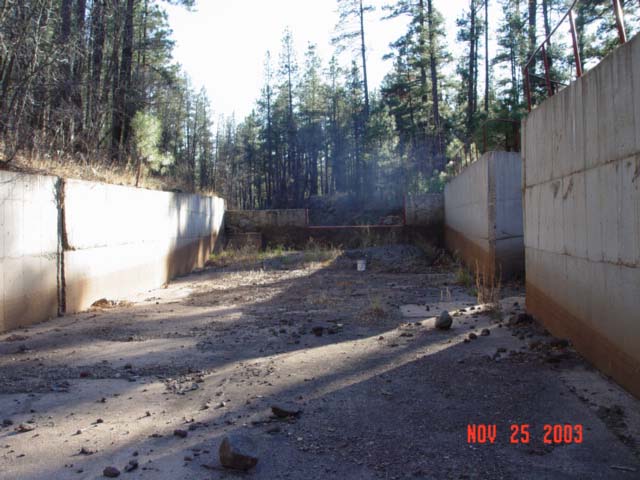
| Collection: | RMRS Archive Images |
| Keywords: |
stream gage watershed structures watershed research watershed management |
| Location: | Watershed 12, Beaver Creek Experimental Watershed; AZ; USA |
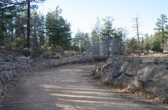
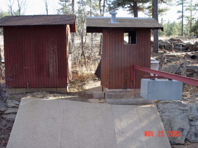
| Description: | Watershed 12 gaging station structures, 21 years after the Beaver Creek Pilot Program ceased operation |
| Date: | 11/25/2003 |
| Collection: | RMRS Archive Images |
| Keywords: |
Northern Arizona University watershed management |
| Location: | Watershed 12, Beaver Creek Experimental Watershed; AZ; USA |
| Description: | Students from NAU's School of Forestry are inspecting the stream channel of Watershed 12 just above the gaging station during a field-trip for a Hydrology Course. |
| Date: | 11/25/2003 |
| Collection: | RMRS Archive Images |
| Keywords: |
watershed research Northern Arizona University watershed management |
| Location: | Watershed 12, Beaver Creek Experimental Watershed; AZ; USA |
| Description: | Hydrology Professor Aregai Tecle teaches students from NAU's School of Forestry about the history of Watershed 12during a field-trip for a Hydrology Course. |
| Date: | 11/25/2003 |
| Collection: | RMRS Archive Images |
| Keywords: |
watershed structures watershed research watershed management |
| Location: | Watershed 14, Beaver Creek Experimental Watershed; AZ; USA |
| Description: | Watershed 14, 21 years after the Beaver Creek Pilot Program ceased operation |
| Date: | 11/25/2003 |
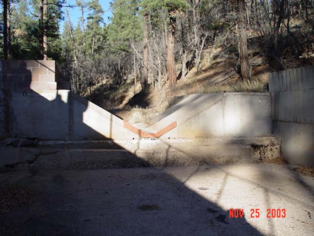
| Collection: | RMRS Archive Images |
| Keywords: |
stream gage watershed structures watershed research watershed management |
| Location: | Watershed 14, Beaver Creek Experimental Watershed; AZ; USA |
| Description: | Watershed 14 weir, 21 years after the Beaver Creek Pilot Program ceased operation |
| Date: | 11/25/2003 |
| Collection: | RMRS Archive Images |
| Keywords: |
watershed structures watershed research watershed management |
| Location: | Watershed 14, Beaver Creek Experimental Watershed; AZ; USA |
| Description: | Watershed 14, 21 years after the Beaver Creek Pilot Program ceased operation |
| Date: | 11/25/2003 |
| Collection: | RMRS Archive Images |
| Keywords: |
watershed research watershed management |
| Location: | Woods Canyon; Beaver Creek Experimental Watershed; AZ |
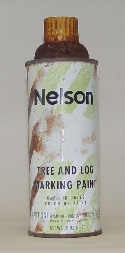
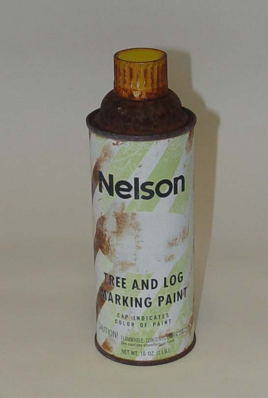
| Description: | Spray-paint can used in the late 1950's to mark the watershed boundary of Bar M and Woods Canyon |
| Date: | 11/03/2003 |
| Collection: | RMRS Archive Images |
| Keywords: |
stream gage watershed structures watershed research watershed management |
| Location: | Sub-Watershed 85, Beaver Creek Experimental Watershed, Coconino NF; AZ; USA |
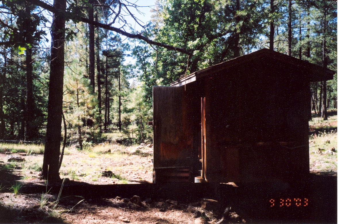
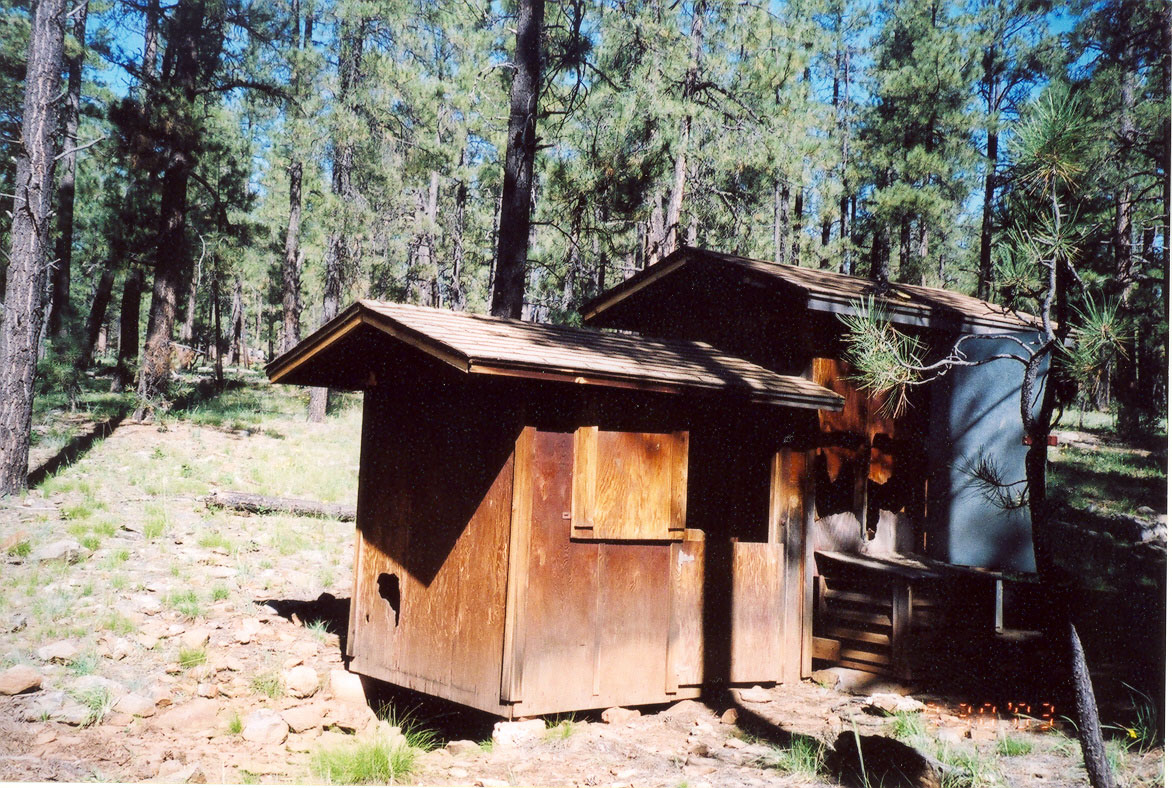
| Description: | Gauging Station of sub-watershed 85 |
| Date: | 09/30/2003 |
| Collection: | RMRS Archive Images |
| Keywords: |
stream flow watershed structures watershed research watershed management |
| Location: | Sub-Watershed 85, Beaver Creek Experimental Watershed, Coconino NF; AZ; USA |
| Description: | Gauging Station of sub-watershed 85 |
| Date: | 09/30/2003 |
| Collection: | RMRS Archive Images |
| Keywords: |
stream gage watershed structures watershed research watershed management |
| Location: | Sub-Watershed 86, Beaver Creek Experimental Watershed, Coconino NF; AZ; USA |
| Description: | Gauging Station of sub-watershed 86 |
| Date: | 09/30/2003 |
| Collection: | RMRS Archive Images |
| Keywords: |
stream gage watershed structures watershed research watershed management |
| Location: | Sub-Watershed 86, Beaver Creek Experimental Watershed, Coconino NF; AZ; USA |
| Description: | Gauging Station of sub-watershed 86 |
| Date: | 09/30/2003 |
| Collection: | RMRS Archive Images |
| Keywords: |
mushrooms watershed management |
| Location: | Woods Canyon, Watershed 19, Beaver Creek Experimental Watershed, Coconino NF; AZ; USA |
| Description: | Mushrooms can reach remarkable sizes in this semi-arid watershed |
| Date: | 09/09/2003 |
| Collection: | RMRS Archive Images |
| Keywords: |
watershed research watershed management |
| Location: | Woods Canyon, Watershed 19, Beaver Creek Experimental Watershed, Coconino NF; AZ; USA |
| Description: | GPSing the watershed boundary of Woods Canyon. |
| Date: | 07/2003 |
| Collection: | RMRS Archive Images |
| Keywords: |
regeneration watershed management |
| Organisms: | ponderosa pine |
| Location: | Bar M, Watershed 20, Beaver Creek Experimental Watershed, Coconino NF; AZ; USA |
| Description: | Ponderosa Pine Regeneration Patch in Bar M watershed |
| Date: | 06/11/2003 |
| Collection: | RMRS Archive Images |
| Keywords: |
regeneration watershed management |
| Organisms: | ponderosa pine |
| Location: | Bar M, Watershed 20, Beaver Creek Experimental Watershed, Coconino NF; AZ; USA |
| Description: | Ponderosa Pine regeneration after heavy windthrow in the Bar M watershed |
| Date: | 06/11/2003 |
| Collection: | RMRS Archive Images |
| Keywords: |
watershed research watershed management |
| Location: | Bar M, Watershed 20, Beaver Creek Experimental Watershed, Coconino NF; AZ; USA |
| Description: | Marked rocks indicate the watershed boundary of Bar M. |
| Date: | 06/03/2003 |
| Collection: | RMRS Archive Images |
| Keywords: |
watershed research watershed management |
| Location: | Bar M, Watershed 20, Beaver Creek Experimental Watershed, Coconino NF; AZ; USA |
| Description: | This very pronounced ridge indicates one section of the watershed boundary of Bar M. |
| Date: | 06/03/2003 |
| Collection: | RMRS Archive Images |
| Keywords: |
stream gage watershed structures watershed research watershed management |
| Location: | Bar M, Watershed 20, Beaver Creek Experimental Watershed, Coconino NF; AZ; USA |
| Description: | Maintanence Work at BarM Stilling Pond |
| Date: | 05/30/2003 |
| Collection: | RMRS Archive Images |
| Keywords: |
stream gage watershed structures watershed research watershed management |
| Location: | Bar M, Watershed 20, Beaver Creek Experimental Watershed, Coconino NF; AZ; USA |
| Description: | Northern wall/bank of BarM Stilling Pond |
| Date: | 05/30/2003 |
| Collection: | RMRS Archive Images |
| Keywords: |
wildlife watershed management |
| Organisms: | ponderosa pine |
| Location: | Bar M, Watershed 20, Beaver Creek Experimental Watershed, Coconino NF; AZ; USA |
| Description: | An elk herd grazing in the Bar M watershed |
| Date: | 05/23/2003 |
| Collection: | RMRS Archive Images |
| Keywords: |
watershed research watershed management |
| Location: | Bar M, Watershed 20, Beaver Creek Experimental Watershed, Coconino NF; AZ; USA |
| Description: | Trees were marked with yellow paint in the late 1950's to indicate watershed boundaries |
| Date: | 05/20/2003 |
| Collection: | RMRS Archive Images |
| Keywords: |
snag watershed research watershed management |
| Organisms: | ponderosa pine |
| Location: | Bar M, Watershed 20, Beaver Creek Experimental Watershed, Coconino NF; AZ; USA |
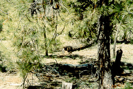
| Description: | A marked fallen snag indicates the watershed boundary of Bar M |
| Date: | 05/20/2003 |


