
Recreation
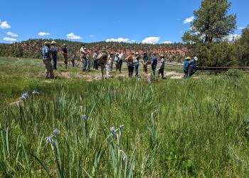
Find the perfect recreation opportunity for you by searching either by region or by opportunity. Be sure to follow Leave No Trace principles and all applicable laws and regulations while recreating in order to leave the Forest and Grasslands better than you found them.
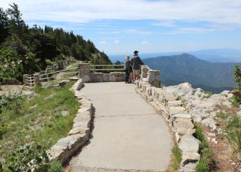
Use the interactive Visitor Information Map to plan your visit.
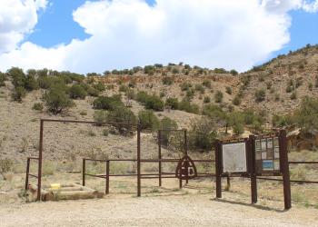
Below is a selection of recreation sites and activities for you to enjoy. Can't find what you are looking for? More information on Trails can be found here.

The Black Kettle National Grassland contains 31,300 acres with 30,724 acres located near Cheyenne, Oklahoma, and the remaining 576 acres located near Canadian, Texas and comprising the Lake Marvin Recreation Area.

Within the short grass prairie of the southern Great Plains lie the Kiowa and Rita Blanca National Grasslands. These grasslands encompass approximately 230,000 acres in six counties within New Mexico, Texas, and Oklahoma.
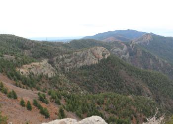
The Magdalena Mountains, south of the town of Magdalena, rise sharply from an elevation of 6,600 feet to 10,783 feet at the summit of South Baldy Peak.

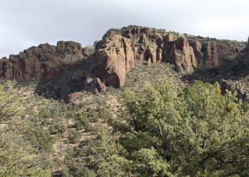
The San Mateo Mountains, southwest of Magdalena, parallel the Rio Grande Valley. National forest lands begin on the high benches west of the river and extend up and over the mountains’ crest.

The McClellan Creek National Grassland contains 1,449 acres near Pampa, Texas, and includes the Lake McClellan Recreation Area.
Among the many attractions of the Manzano Mountains is the largest stand of Rocky Mountain large tooth maples in New Mexico at the head of Tajique Canyon.

Popular with equestrian riders, the Manzano Mountains West offer portal trails into the Wilderness that connect to larger trail systems offering opportunities for exploration.
Mt. Taylor is the highest peak around at 11,301 feet and is an area of special religious and cultural significance to several Native American communities.
The Zuni Mountains are rich in cultural resources including many historic sawmills and logging communities. Now, the Zuni's are home to a network of mountain biking trails that draw visitors from all over the Southwest.
Within the short grass prairie of the southern Great Plains lie the Kiowa and Rita Blanca National Grasslands.
Just east of Albuquerque are the most visited mountains in New Mexico. Millions of people journey into the Sandia Mountains each year.
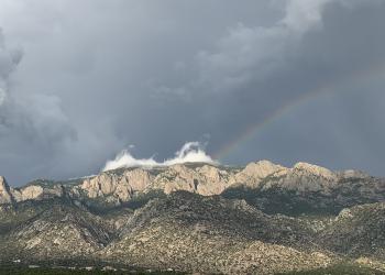
The Sandia Mountains are part of the signature of Albuquerque's unique sense of place.
The Manzanita Mountains rise south of Tijeras Canyon and extends to Cañon de los Seis at the north end of the Manzano Mountains, about 15 miles to the south. The area has an extensive network of trails available for motorized and nonmotorized use that are most popular with mountain bikers.
10k Trailhead and 10K Trail 200
Site Open
10K North and 10K South Trailheads “meet” on Scenic Byway 536, on opposite sides of the highway.--10K Trailhead gives access to 10K Trail 200 going North, and ends at the Del Agua Overlook on…
3 Gun Trailhead/ 3 GunTrl 194/ Hawk Watch Trl 215
Site Open
Three Gun Trailhead gives access to the Three Gun Spring/Tres Pistolas Trail 194. It is 4.0 miles long and ends at Embudito Trail 192. Hawk Watch Trail 215 splits off toward the east, from Three…
Agua Sarca Trailhead & Agua Sarca Trail 231
Site Open
The Agua Sarca Trailhead is located about 1.7 miles down Forest Road 231 (aka Tunnel Spring Road). There is a small parking area on the left. Agua Sarca Trail 231 begins across from the parking…
Albuquerque Trailhead
Site Open
The Albuquerque Trailhead provides parking for access to the Albuquerque Trail which begins at Forest Road 55 and ends at the junction with Fourth Of July Trail. The trail is open for…
ATV Bypass 05617
Site Open
Access from Chamisoso Trailhead.Please consult the Manzanita Mountains Trail System MapCell phone coverage is not guaranteedBe courteous to other users, motorized vehicles and bicycles yield to…
Balsam Glade Nature Tr - La Madera Canyon Overlook
Site Open
Balsam Glade Nature Trail Trailhead is within the Balsam Glade Picnic Site. The nature trail begins at an elevation of 8,620’ to 8,660’ for an elevation gain of 40 feet It is 0.3 miles one way…
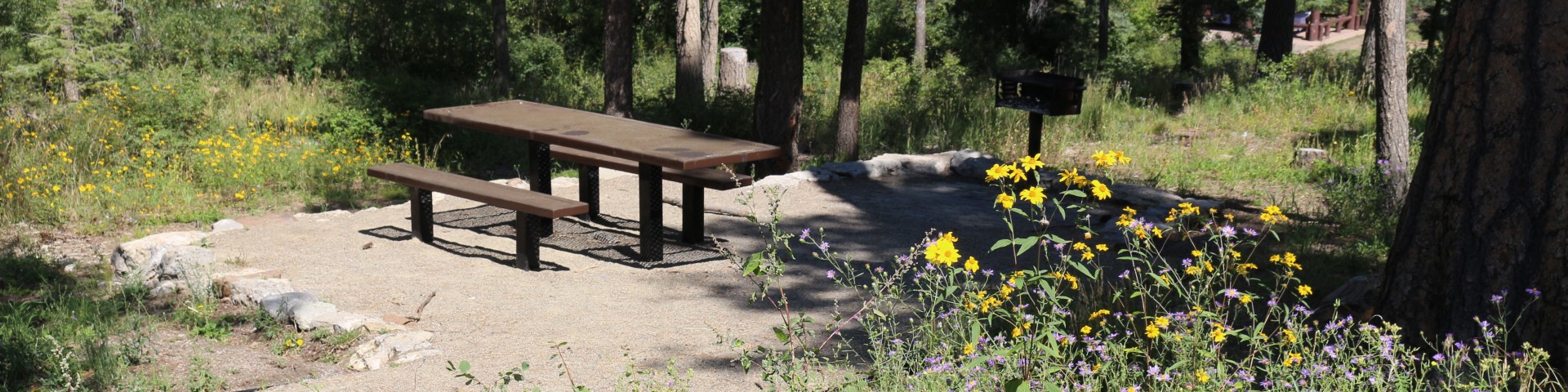
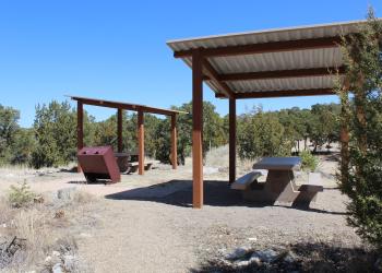
Balsam Glade Picnic Site
Site Open
The surrounding forest and mountains provide a perfect backdrop for photography, flower walks, bird watching, hiking, relaxing and enjoying nature.The group sheltered area must be reserved on…
Bear Trap Campground
Site Closed
Small (4 unit) campsite without water is popular nonetheless due to cool mountain setting and proximity to Withington Lookout 2 (steep) miles away
Black Kettle Boating Site
Site Open
Black Kettle Boating SiteThe fish available include: Bass, Catfish, and Panfish. The types of fishing available include: Shore, Motorized boat, Spin, and Bait.
Black Kettle Campground
Site Open
Campground is located at an elevation of 2,100 feet and has 12 camping units.