Welcome to Cherokee National Forest
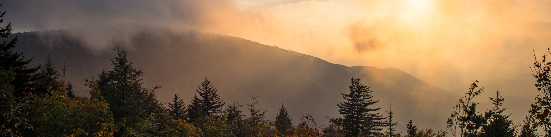
The Cherokee National Forest is the largest tract of public land in Tennessee spanning more than 660,000 acres in the Southern Appalachian Mountains. The forest is separated into northern and southern sections by the Great Smoky Mountains National Park and adjoins other national forests in Virginia, North Carolina, and Georgia.
The forest is home to more than 700 miles of trails including the Appalachian National Scenic Trail, seven whitewater rivers, numerous waterfalls, miles of scenic byways, and a variety of developed campgrounds and day-use facilities that offer a wide range of outdoor recreation opportunities.
NOTE: Display receipts for Day-Use permits on the dash of parked vehicles.
Recreation Opportunities & Regions