
Welcome to the Olympic National Forest!
Science Oriented, Restoration Focused, Relationship Driven, the Olympic National Forest.
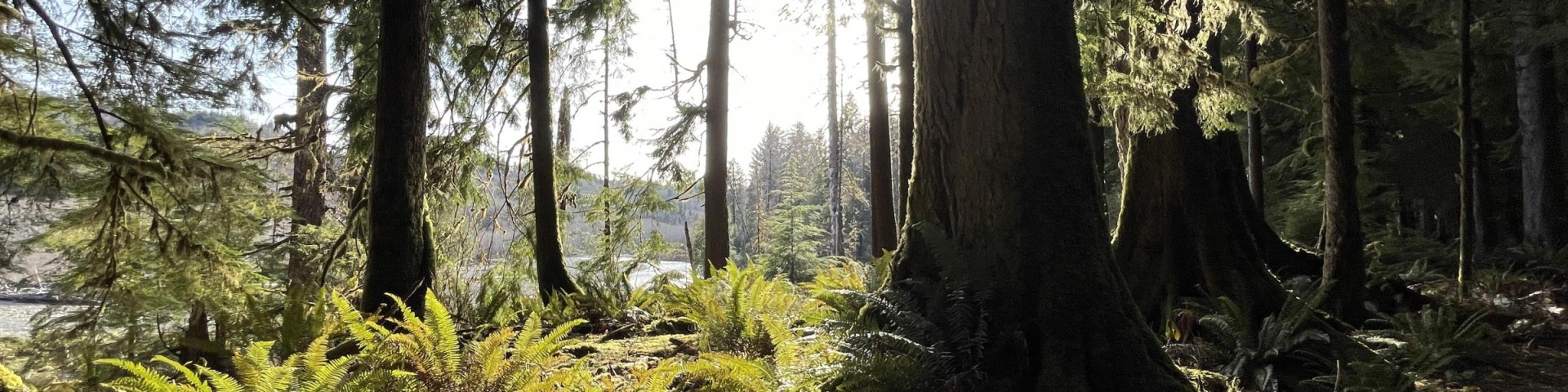
Originally created as the Olympic Forest Reserve in 1897, the Olympic National Forest encompasses roughly 632,000 acres of varied landscape on the Olympic Peninsula in Washington state. From lush temperate rainforests to high mountain ridges to the salt water fjord of Hood Canal, the diverse and scenic forest reaches from sea level to the mid-elevations of the Olympic Mountains and provides a wide array of recreational activities and forest products.
From hiking a mountain for 360-degree views, to exploring the only temperate rainforest in the lower 48, there’s something for everyone to enjoy!
Quick Links


Enduring Connections to the Land
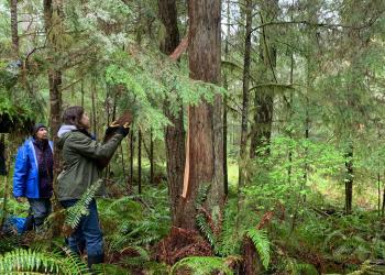
The Olympic National Forest recognizes indigenous communities on the Olympic Peninsula and their original connection to the land now managed by the U.S. Forest Service. We continually work with these communities to learn about the ways they have, and still manage the land and resources. We thank them for working with us.
Northwest Forest Plan & Amendment
The Northwest Forest Plan covers 24.5 million acres of federally managed lands in California, Oregon, and Washington. It was established in 1994 to address threats to threatened and endangered species while also contributing to social and economic sustainability in the region. Over 30 years later, the Northwest Forest Plan needs to be updated to accommodate changed ecological and social conditions.