
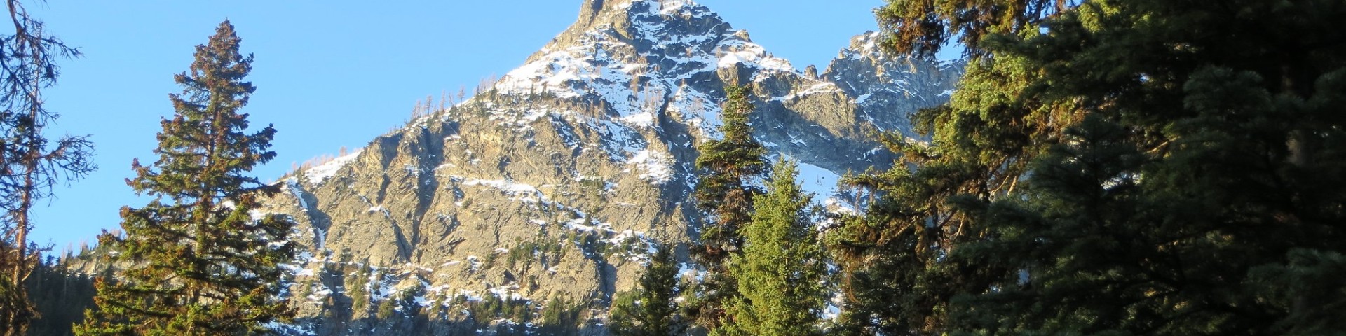
Pacific Northwest Region
Image

The Pacific Northwest Region is home to 16 National Forests, a National Grassland, two National Scenic Areas, two National Volcanic Monuments, and four National Recreation Areas.
We steward these lands to sustain the health, diversity, and productivity of the nation's forests and grasslands for present and future generations. We provide:
- Forest Products: We sustainably manage forests to support local economies and provide timber and other resources.
- Outdoor Recreation: We provide more than 3,000 outdoor recreation areas that welcome more than 16 million visitors annually.
- Jobs and Partnerships: We support nearly 29,000 jobs and work with hundreds of partners across the region.
- Clean Water: We contribute approximately 40% of the region’s water supply and these waters are among the coldest and highest quality in the Pacific Northwest.
- Habitat: We manage forests to provide habitat for a wide range of wildlife, plants, and aquatic species.
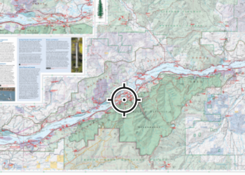
Find a Forest
Select your state or territory to find a forest or grassland to explore.
Get a Pass
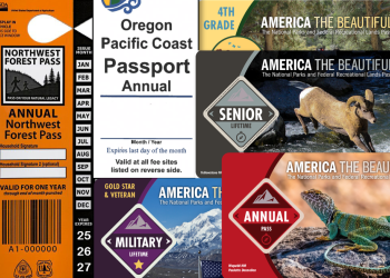
From local annual and day passes to national interagency passes, find a recreation pass that's right for you.
Plan Your Trip
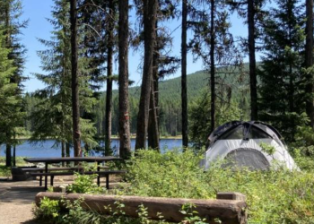
Find your next favorite campsite, trail, or day use area for your next outdoor adventure.
