
Welcome to Rogue River-Siskiyou National Forest
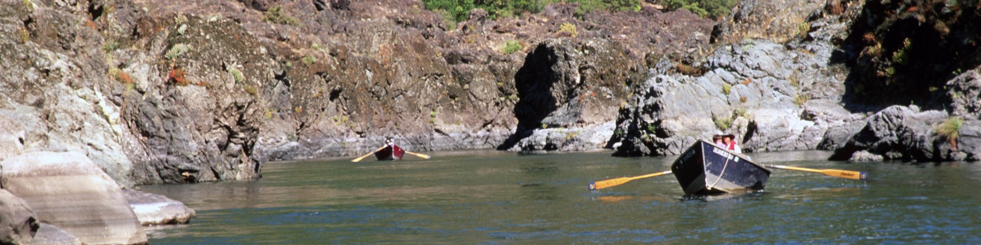
Located in southwestern Oregon and extending into California, the Rogue River-Siskiyou National Forest ranges from the crest of the Cascades Range, west into the Siskiyou Mountains, and includes southern portions of the Coastal Range, extending nearly to the Pacific Ocean. Oregon is comprised of a magnificent variety of geological wonders. and the Rogue River-Siskiyou National Forest is a part of that splendid diversity!
The forest itself is composed of two distinct geological provinces: the Cascade Range and the Klamath and Siskiyou Mountains. The Siskiyou area embodies the most complex soils, geology, landscape, and plant communities in the Pacific Northwest. World-class wild rivers, biological diversity, remarkable fisheries resources, and complex watersheds define the Siskiyou. The Rogue River-Siskiyou National Forest is the most floristically diverse National Forest in the country, with an abundance of extraordinary botanical resources.
Recreation Passes
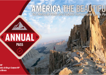
America the Beautiful - National Parks and Federal Recreational Lands Passes provide U.S. citizens and visitors an affordable and convenient way to access federal recreational lands.
Recreation
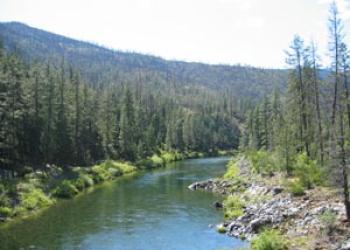
The Rogue River-Siskiyou National Forest has a wide variety of landscapes that offer up every kind of outdoor experience you can imagine. It's time to start exploring!
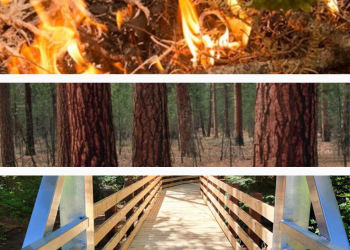
Safety & Ethics

There are lots of ways be a good steward and to protect the Forests and the natural environment, to ensure the health and safety of visitors, and to promote pleasant and rewarding outdoor recreation experiences for all visitors.
Predicted Weather
Get the most current predicted weather conditions ahead of your outdoor adventures from the National Weather Service!
Maps

Make sure you've got the correct map for where you're headed!
Road Conditions

See web cameras of roads across Oregon to get an idea of what conditions might be like where you're headed!
Northwest Forest Plan & Amendment
The Northwest Forest Plan covers 24.5 million acres of federally managed lands in California, Oregon, and Washington. It was established in 1994 to address threats to threatened and endangered species while also contributing to social and economic sustainability in the region. Over 30 years later, the Northwest Forest Plan needs to be updated to accommodate changed ecological and social conditions.