

Welcome to San Juan National Forest
San Juan National Forest encompasses about 1.8 million acres in the southwestern corner of Colorado. From high-desert mesas to alpine peaks, these federal lands are managed for multiple uses and visitors are asked to respect each other and the natural resources. The San Juan National Forest Headquarters is located in Durango, Colorado, with district offices in Bayfield, Dolores and Pagosa Springs.
We've got a new look!
In April 2025, we transitioned to a new web platform to better serve the public. With thousands of pages to update, some content may take additional time to appear. Some older content has been archived during this move as well.
We appreciate your patience as we work to make it easier than ever to access information and explore your national forests - both online and on the ground.
If you cannot find what you are looking for, please contact your local Forest Service office or submit your question using the form on our Contact Us page.
Discover the Forest
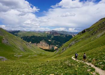
What are your outdoor passions? Hiking, mountain biking, hunting, fishing, alpine and nordic skiing, horseback riding, driving your OHV? Check out what's available to you on our forest.
Campground Info
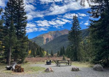
There are many camping opportunities on the San Juan National Forest. With some planning you can find a perfect spot for you and your family.
Plan Ahead
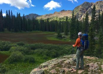
Brush up on your forest knowledge, up-to-date Forest Road conditions, fire regulations, campground status and more.
Fire Information
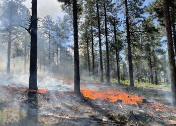
Before you go, know the current fire restrictions, prescribed fire schedules, and active wildfires in the area.
Find Your Way

Find your way by exploring our interactive, downloadable, mobile friendly maps as well as maps for online purchase.
Forest Road Status
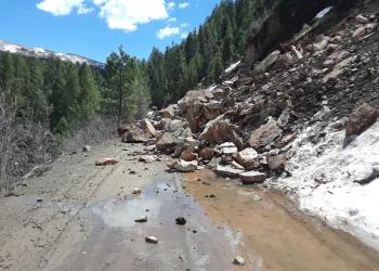
San Juan Forest Roads are often opened in May / June and closed throughout December /January. Stay up-to-date with seasonal road openings and closings.
Forest Spotlights
Major Lunar Standstill at Chimney Rock National Monument
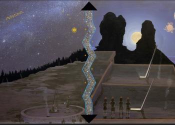
Over the next couple years, a special lunar event will take place at Chimney Rock National Monument (CRNM). This astronomical event occurs every 18.6 years when the moon aligns between the two sandstone spires within CRNM.