

Rangeland and Grazing
Rangelands are a diverse set of lands comprised predominantly of grasses, grass-like plants, forbs, or shrubs and is managed as a natural ecosystem. Rangeland includes natural grasslands, savannas, shrublands, many deserts, tundras, alpine communities, marshes and meadows.
Rangeland on the San Juan National Forest includes the low elevation ponderosa pine ecosystem as well as mid- and even high-elevation areas. Domestic livestock grazing has occurred on the San Juan since the late 1870s. The livestock industry, comprising mostly ranching families, has been an integral part of community development, as well as overall lifestyle, in Southwest Colorado. Public lands supply grazing for dependent livestock producers and represent a significant portion of their total operations.
Grazing Allotments
Pasture rotations and number of days in each are subject to change as the season progresses to address drought, available water, and forage use.
Interactive Grazing Map and Schedules

This map illustrates where visitors may expect to encounter grazing activity during the current calendar year on the San Juan NF. Use the allotment map link to see the status of allotments, the season of use, and kind/class of livestock.
Rangeland Management and Monitoring
According to the Society of Rangeland Management, rangeland management is, "A distinct discipline founded on ecological principles and dealing with the use of rangelands and range resources for a variety of purposes. These purposes include use as watersheds, wildlife habitat, grazing by livestock, recreation, and aesthetics, as well as other associated uses." Today, rangelands provide forage for both domestic livestock and wildlife, wildlife habitat, clean water, recreational opportunities, and other valuable intangible societal products. The Forest Service employs Rangeland Management Specialists who work with ranchers and other disciplines and resource specialists to accomplish the land management objectives.

Rangeland monitoring includes gathering information to decipher what is happening to rangeland resources and why. Planning efforts have inventoried ecological attributes across much of the San Juan National Forest. Planning decisions describe land and resource objectives for the Forest. Range managers continue to collect and interpret ecological attributes to inform current management decisions. You may see evidence of rangeland monitoring efforts on the forest. Some historic grazing exclosures were established as early as the 1940s. By the early 1950s, standardized monitoring techniques had been developed. Permanent monitoring sites were established, which collected vegetative, soil, and hydrologic function attributes. Monitoring techniques and methodologies have progressed as science has informed the rangeland management field. While on the forest, you may come across fenced exclosures, metal utilization cages, or rebar stakes in the ground. They are there to help inform and manage the rangeland resources.
History
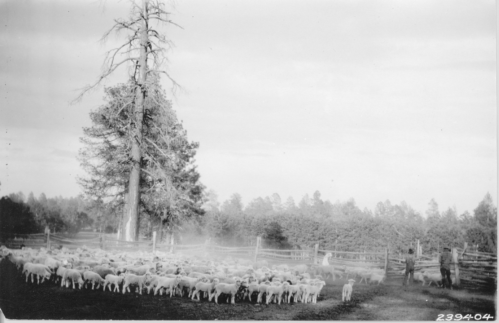
In approximately 1875, prior to establishment of the Forest Reserves (what would become todays San Juan National Forest), large cattle herds from Texas moved into the San Juan Basin. By 1884, domestic sheep were also using a considerable extent of the forest. Conflict between cattle and sheep men and limited rangeland resources soon resulted. An early report written in 1905 by Coert DuBouis, estimated that 268,100 sheep and 19,000 head of cattle were grazing what was to become the San Juan National Forest. The Forest Service spent considerable effort in the decades to come, bringing stocking rates into balance with the lands carrying capacity.
Permitted Livestock Today
The San Juan National Forest is comprised of “Rangeland Management Units” often referred to as “allotments.” A decision may establish an allotment’s status as “active”, “vacant”, “forage reserve”, or “closed”. In most cases, allotments are divided into smaller “pasture” units. Individual pastures allow rangeland managers to prescribe timing, duration, and intensity of livestock grazing for a specific area of land.

Today, the Forest provides forage to qualified permit holders (grazing permittees) to help sustain local rural economies and contribute towards the nation’s food supply. Use and occupancy by commercial livestock requires a permit on the San Juan National Forest. Acquiring a permit to graze livestock on the Forest is not a simple process, since most Forest land eligible to be grazed by livestock are already obligated under existing permits. If you have questions about the grazing permit process, it is best to reach out to the Forest Office to obtain further information.
San Juan National Forest Facts:
- 95 Grazing Permittees
- 21,500 Permitted Head of Cattle
- 8,667 Permitted Head of Sheep
- 97 Active Allotments
- 1.2 million Acres Actively Permitted
Livestock Grazing in Wilderness
Livestock grazing is a permitted use within wilderness areas. (Wilderness Act Section 4d (4) (2)) Livestock grazing within wilderness is managed according to the Land Management Plan and other applicable planning decisions.

Virtual Fence and 21st Century Technology
Just a barbed wire transformed the west in the late 1800s, modern technology is assisting with control and handling of livestock today. Some livestock are being outfitted with GPS collars which establish invisible boundaries using auditory and electrical cues. The collars can also provide the livestock owner with up-to-date information of the animal’s location. Read Where's The Beef: Virtual Fencing and New Opportunities in Rangeland Management to learn more.
Important Information for Forest Users
- Fences are important management tools to assist in achieving resource objectives. Fences help managers prescribe proper timing and duration of livestock grazing. Please leave gates as you find them. When in doubt, close the gate.
- Livestock Protection Dogs – Sheep are vulnerable to many predators. Protection dogs are a primary and traditional means of protecting sheep from predators. If you encounter a band of sheep on the Forest, it is best to alter your route to minimize any contact. However, if you cannot avoid contact:
- Do:
- Stop and dismount if mountain biking.
- Put your bike between you and the dog.
- Walk your bike until you are well past the sheep.
- Keep your distance from the flock.
- Keep your dog(s) leashed at all times.
- Watch for the protection dog(s) and the herder.
- Remain calm and quiet if the dog(s) approach.
- Don’t:
- Hike or ride your all-terrain vehicle/mountain bike into or near the flock.
- Make quick or aggressive movements around the dog(s) or sheep.
- Attempt to hit or throw things at the dog(s) or sheep.
- Yell at dog(s) or sheep, unless approached – then, yell “go back” or “no!”
- Try to outrun the dog(s).
- Do:
Please see this brochure for more information.
- Corrals and Handling Facilities – There are livestock corrals across the forest that permittees utilize. You may use these for camping purposes when livestock are not present, but if the permittee needs to use them, the corral is there for their use first - please be respectful of ongoing livestock operations and needs – range improvements are maintained by permittees. Please do not block the gates or chutes at corrals
Noxious Weeds Management

Mature musk thistle
Invasive species can impact water quality, wildlife habitat, fisheries, forage production, and soil productivity and can also displace native species. Noxious weeds and other invasive plant species establish as a result of ground disturbance and where a seed source is present. Weeds are introduced and spread in many ways, including by people, wildlife, vehicles, resource extraction, wind, water, and fire. Executive Order 13112 of February 3, 1999 (Invasive Species), called upon executive departments and agencies to take steps to prevent the introduction and spread of invasive species, and to support efforts to eradicate and control invasive species that are established.
The San Juan uses an Integrated Pest Management (IPM) approach to control the spread of noxious weeds:
Biological control – Uses organisms to control noxious weeds. Since we are dealing with
living things, a variety of circumstances come into play that impact the success of the establishment of the bio-control and ultimately the control of the noxious weed you are targeting. For example, an organism that works well on the plains may not work in the mountains. Although there has been some success on some noxious weeds, bio-control agents are not available for all species.
- Chemical control – The use of herbicides to control noxious weeds. All herbicides must be used in accordance with the registered label.
- Cultural control – The use of materials or techniques that reduce noxious weed populations. Examples include mulching, rotational grazing, establishing good vegetation cover.
- Mechanical – Cutting, mowing, disking.
What can I do to help?
Familiarize yourself with Colorado Noxious Weed List A and List B species and what they look like. Please reach out to your local San Juan National Forest office if you notice any of these species and take a picture as well as a GPS location and/or a map of the area. This helps Forest Service employees properly ID the species and locate them.
Our partners at Mountain Studies Institute are also asking for your help to monitor invasive plants using an app on your phone. Visit their Invasive Plant Monitoring webpage and learn more about the iNaturalist phone application.
