

Visitor Maps and Guides
Maps of the Payette National Forest, the Frank Church-River of No Return Wilderness, and other selected National Forest maps in Idaho may be purchased in person at the Supervisor's Office in McCall and at the Council Ranger District. Please contact us for more information.
Motor Vehicle Use Maps (MVUM)
A Motor Vehicle Use Map (MVUM) is a legal document that shows which roads and trails are open to public motor vehicle use. If a road or trail does not appear on the map, it means that it is not open to public motor vehicular use.
The MVUM is a black and white map with no topographic features. It is best used with a Forest Visitor Map or other detailed map. The MVUM will be updated as needed to correct mapping errors or discrepancies and update travel decisions.
If you plan on camping, driving off-highway vehicles, hunting, or exploring the backcountry; please make sure you review the appropriate MVUM to know which routes are open to motor vehicle use. For more information, please visit MVUM Frequently Asked Questions and KNOW BEFORE YOU GO!
Interactive Forest Map Finder
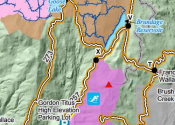
The Interactive Forest Map Finder link below is the quickest access to find and purchase the Forest Visitor Maps. The Forest Visitor Maps of each National Forest and Grassland provide forest-wide information on attractions, facilities, services, and opportunities. Some maps are readily available to purchase at your Forest District offices. Please contact the local forest directly to check on availability.
Map Finder
The links found in the Forest Map Finder will take you to the following sites: district offices selling the maps locally, US Geological Survey for online sales, Avenza Map Store for electronic (GeoPDF) maps, and links to the free official Motor Vehicle Use Map (MVUM) displaying roads, trails, and areas open to motor vehicle use in the National Forest.
Also learn more about Geospatial Data for the Intermountain Region forests.
Interactive Visitor Map

A free tool that allows users to view and explore key features on National Forests such as roads, trails, and recreation sites.
Winter Travel Map
The Payette Winter Travel Map identifies designated routes and “open play areas” for over-the-snow vehicle use. Free paper copies of the Payette Winter Travel Map are available at District Offices. The map may be downloaded to your smartphone through the Avenza Map store for free.
Fuelwood Map

The 2026 Fuelwood map shows important information regarding the cutting of fuelwood.
Forest Service Digital Maps

Forest Service Digital Maps cover all lands administered by the Forest Service. There are available at a variety of scales. Maps are free as a digital download.
Other Maps

Other maps, including topographic maps, National Forest Wilderness maps, and National Forest Visitor maps are available to purchase from the US Geological Survey, most forest offices, or retail outlets.
Trail Maintenance Map
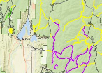
Before you head out, check out the latest trail maintenance activities through the online Trail Maintenance Map for the Payette National Forest.
Payette National Forest Visitor Guide

Find more information about the special places, recreation, campgrounds and more on the Payette National Forest, check out this guide.